Last time, we peered into the mysterious depths of Koonalda Cave.
Wild Winds, Wild Ocean
On our first trip across the Nullarbor, the weather gods decided we needed an initiation. A ferocious Easterly gale whipped up overnight, and tried to blow us clean off Nullarbor Plain!
We’ve crossed the Nullarbor many times now. Incredibly, each time we’ve managed to strike a tailwind… for most of each journey at least.
When the wind does decide to turn and hit you head on, it’s a continuous battle to maintain speed. And fuel economy flies out the window.
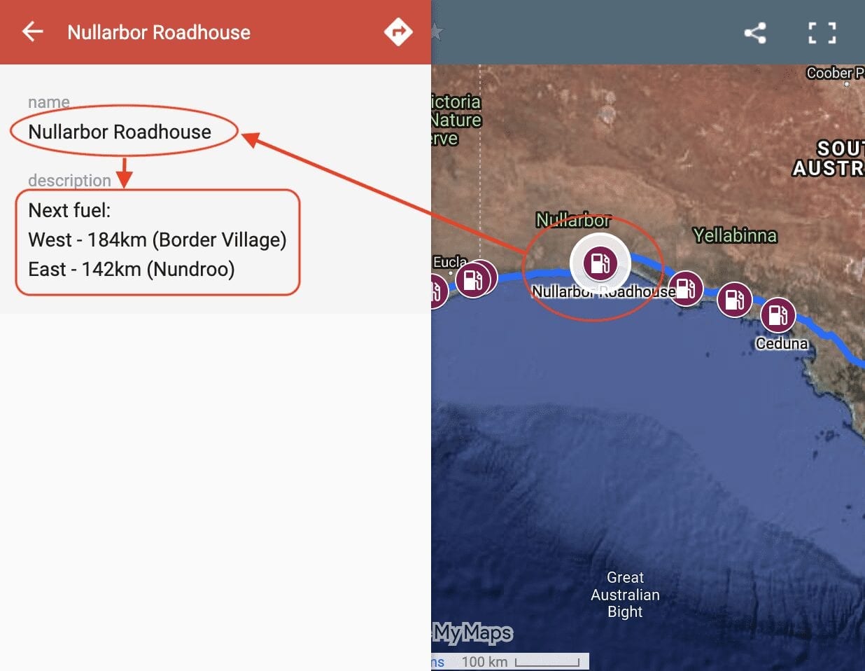
Fuel Stops
So where you can get fuel on the Nullarbor? Our Interactive Map of fuel stops across the Nullarbor will give you all the info you need.
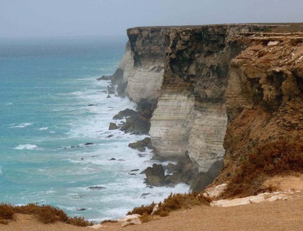
Leaving Koonalda Station, we drove back down to the Eyre highway and turned left towards Border Village. This part of the Great Australian Bight is feared by sailors. A couple of really good viewing areas showed us why…
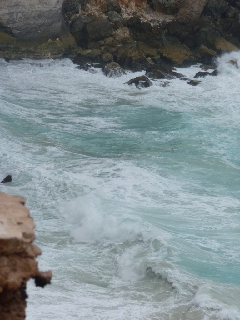
The ocean was a boiling cauldron, smashing up against the giant limestone cliffs. The photos simply don’t do it justice.
Old Eyre Highway, The Slow Road to Border Village
If you want a small taste of what road conditions were like before the Eyre Highway was sealed, then turn right off the highway about 20km east of Border Village. This takes you to a short section of the Old Eyre Highway, which ends at Border Village.
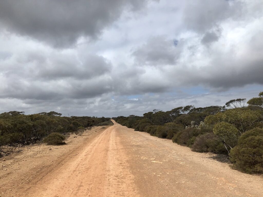
We’ve driven the Old Eyre Highway from Border Village all the way through to Nullarbor Roadhouse. It’s a fantastic trip, passing through some truly remote country. Go here to find out more about what to expect on a trip along the Old Eyre Highway.
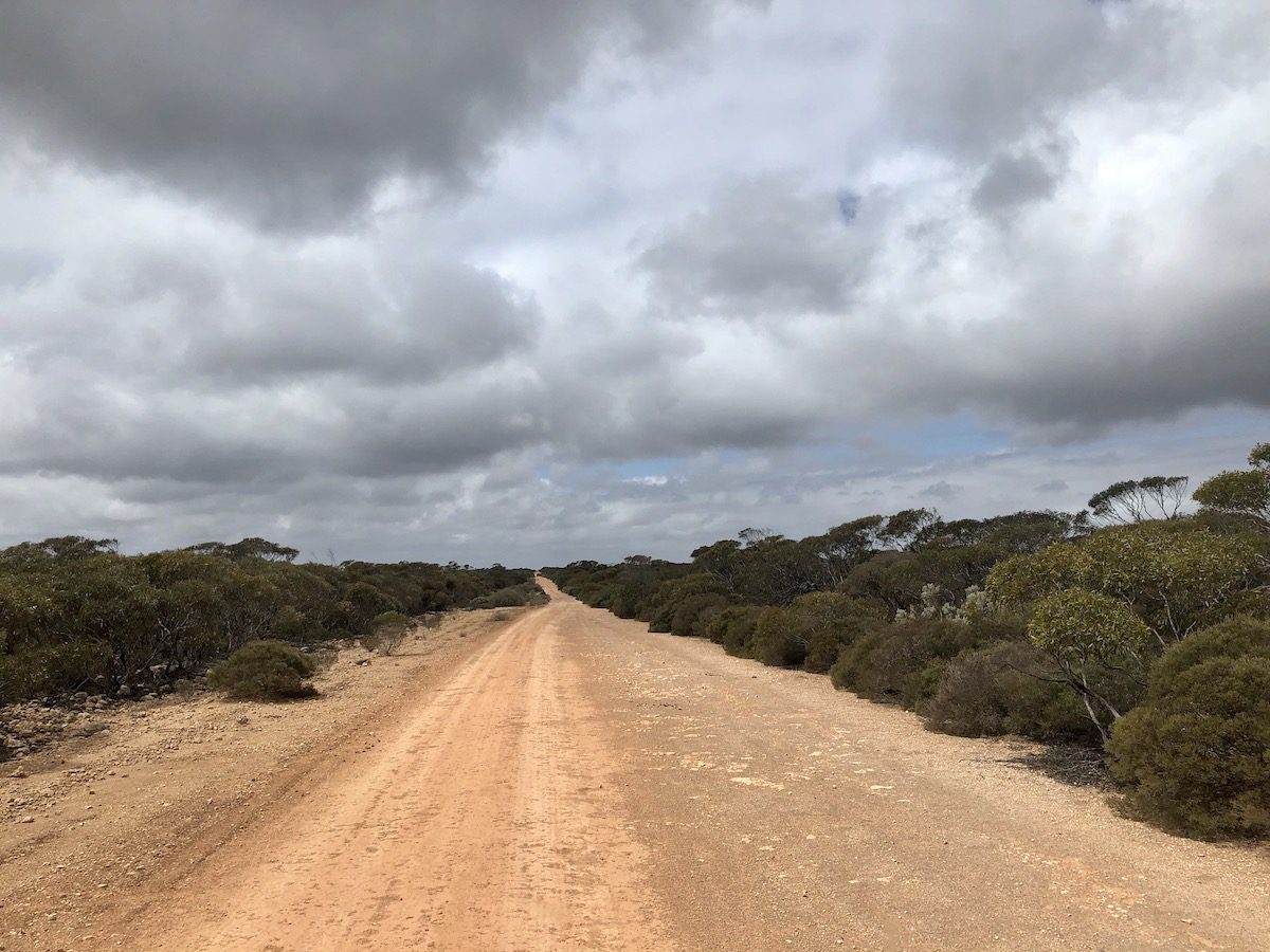
This short section near Border Village is a good way to get a quick look at the old highway, without doing the whole trip. And you might have noticed the trees. They start to appear just shy of the border. Nothing to get too excited about, but trees all the same.
We encountered a huge camel on the track up to the Old Eyre Highway. He ran in front of us for ages, wagging his oversized camel head from side to side. There was no way he was getting off the track!
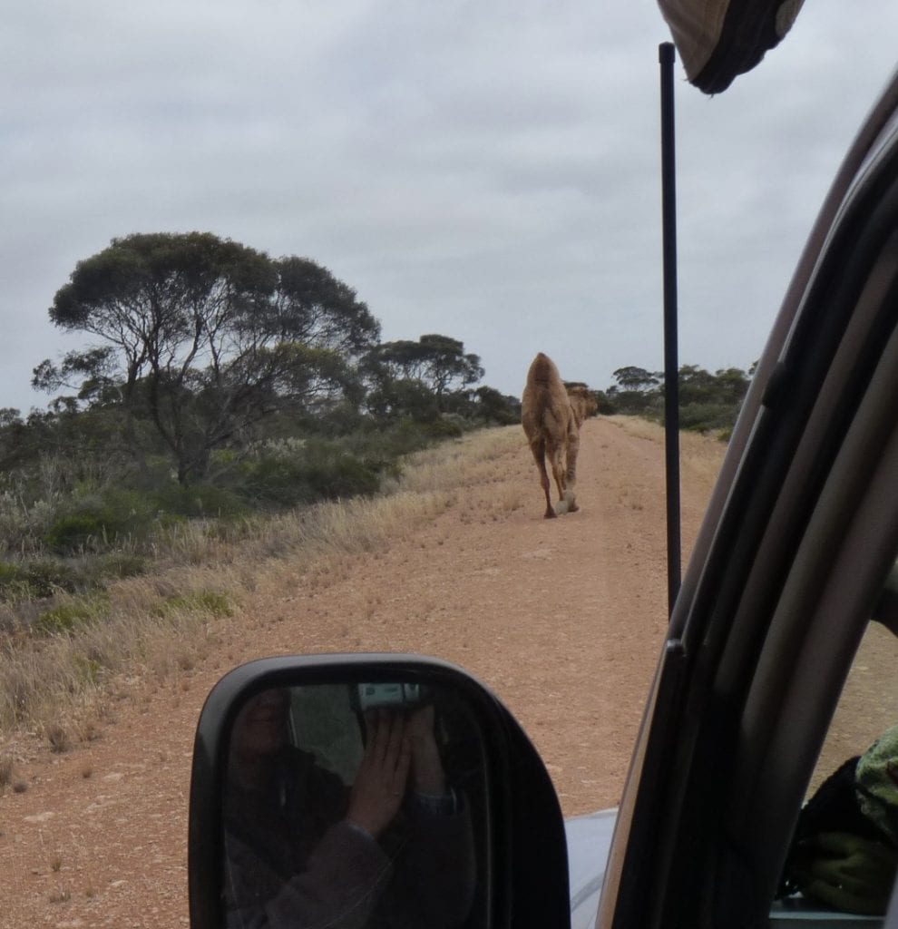
At the Old Eyre Highway, we turned left and thankfully Mr Camel turned right.
The road surface is pretty savage… hardly surprising since you’re on a massive limestone plain. When it was the main route, it would have been a nightmare journey – hard limestone rock for hundreds of kms, huge corrugations, bottomless pits of bull dust, then mud in the wet.
Old Eyre Highway was notorious for rollovers. The car graveyard at Koonalda Station is testament to this.
Bull dust holes were the main cause. When you hit one at speed, you and your vehicle would be launched into the air or whipped sideways. Cars and trucks often ended up on their roofs.
Old tyre tubes are still strewn along the road. It wasn’t unusual to carry 6 spare tyres back in the days of cross-ply tyres and tubes. Then you’d be repairing tubes on the side of the road once they were all used up.
The old highway looks lonely now. Bushes and trees grow out of the surface and it has a slightly spooky and abandoned feel. If you decide to travel this road, be aware it’s very remote and really is the “road less travelled”. Be prepared.
Ray Gilleland wrote a fascinating account of his daily struggles with the Old Eyre Highway. He was a long-distance truck driver from Sydney to Perth and return in the 1950’s. Called “The Nullarbor Kid”, it’s well worth reading… a living history of times gone by.
Border Village, Crossing the Border
Border Village has a roadhouse and a quarantine station. Oh, and hole on the Nullarbor Links, the longest golf course in the world.
The quarantine station is on the South Australian/Western Australian border. Be warned, they take no prisoners. Pretty much anything that looks like fruit and veggies or could have been at some stage in its life, is considered contraband.
Even things like honey and seeds will be confiscated.
You’ll find all the info on what’s allowed through W.A. quarantine here. It’s a short list!
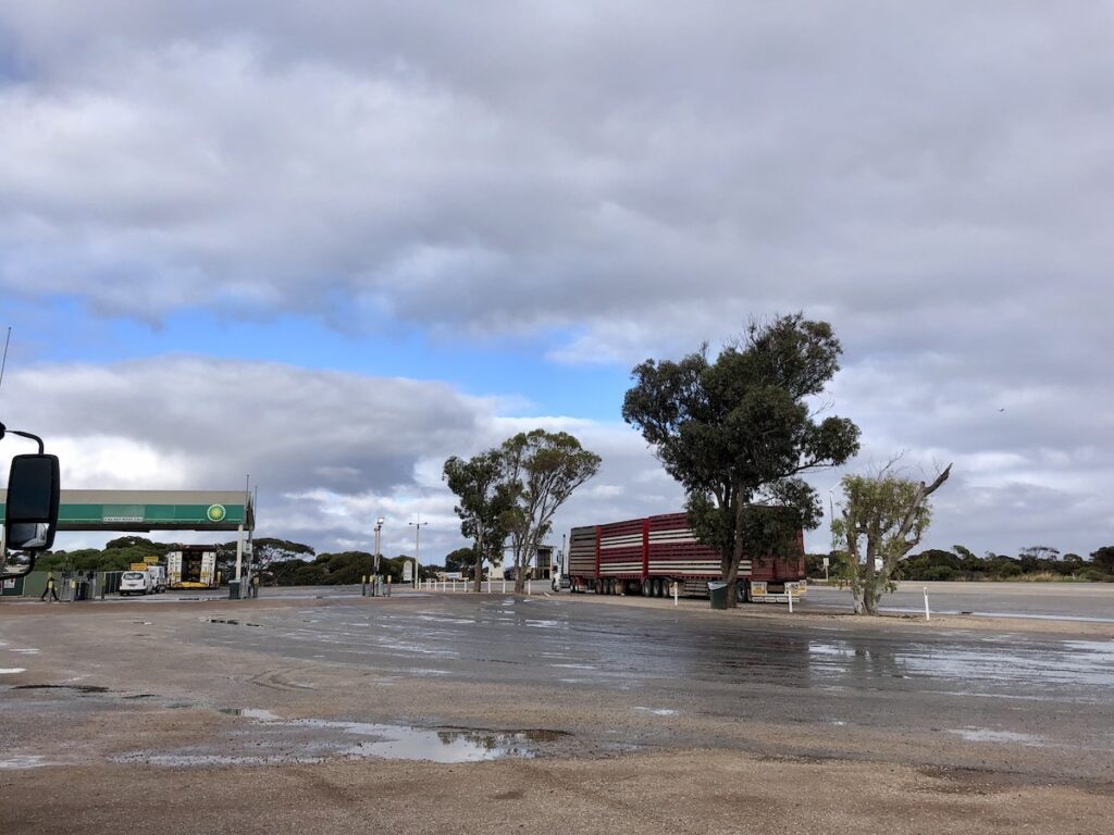
Note, if you’re heading back into South Australia, there’s no quarantine check at all. You drive straight through.
Border Village operates on its own time zone, called Central Western Standard Time. It’s very confusing, especially since we never knew it existed the first time we passed through here.
This bizarre timezone covers a small patch from Border Village to Caiguna in the west. It’s 45 minutes ahead of the rest of WA. But WA is 1-½ hours behind SA. So Border Village to Caiguna is 45 minutes behind SA.
And if daylight saving’s happening, then WA is 2-½ hours behind SA. So that makes Border Village 1-¾ hours behind SA. Or maybe not. Does Central Western Standard Time have daylight saving? Who knows!
Best you just ignore it all and hope for the best…
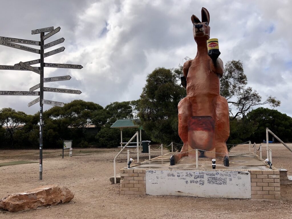
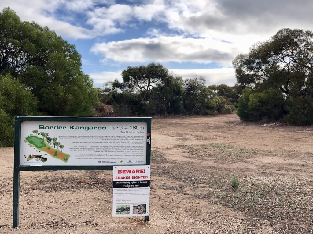
How best to summarise Border Village? Well, it’s a popular rest area for professional drivers… and a popular point for travellers attempting to eat thirty oranges before they cross over the border.
Beyond that, there’s not a whole lot happening in Border Village!
Next time: Crossing the Western Australian border, a look around Eucla, then onto Caiguna.
This section of the Nullarbor trip is on Mirning Country.
Looking for more information on the Nullarbor? Then go here.
Get your BONUS Guide:
Download “Nullarbor East to West – A Traveller’s Guide”
…at our FREE RESOURCES Page!
Any questions or comments? Go to the Comments below or join us on Pinterest, Facebook or YouTube.
Any errors or omissions are mine alone.

