
Last time, we experienced a small taste of the Old Eyre Highway and checked out Border Village.
Eucla, The Town That Moved
Only a dozen kilometres west of Border Village is Eucla, perched on the edge of the escarpment. It has accommodation, fuel and basic services. Eucla is the easternmost settlement in Western Australia.
Fuel Stops
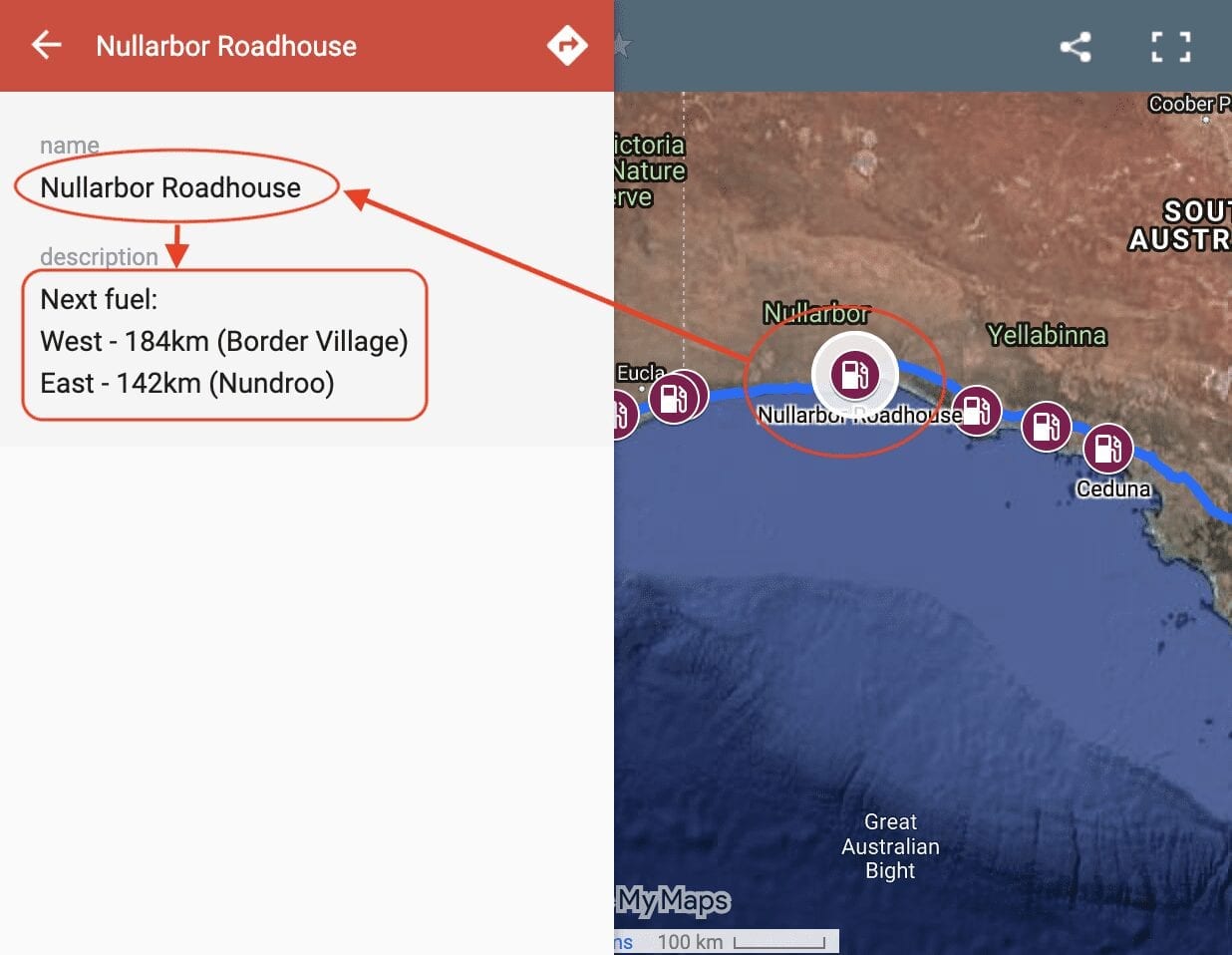
So where you can get fuel on the Nullarbor? Our Interactive Map of fuel stops across the Nullarbor will give you all the info you need.
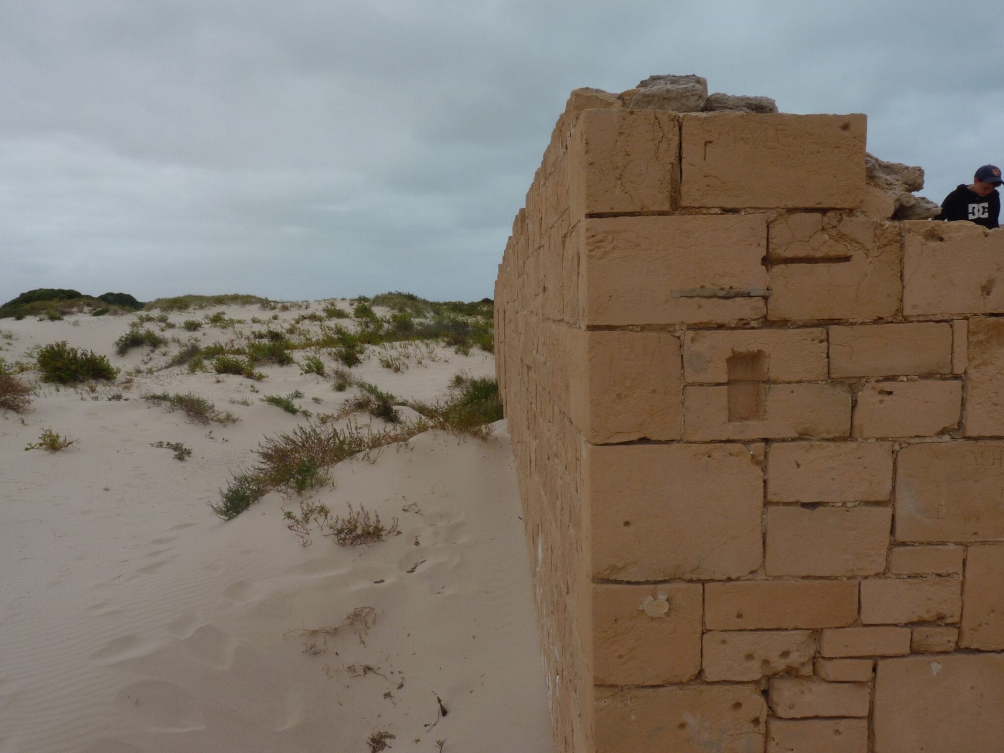
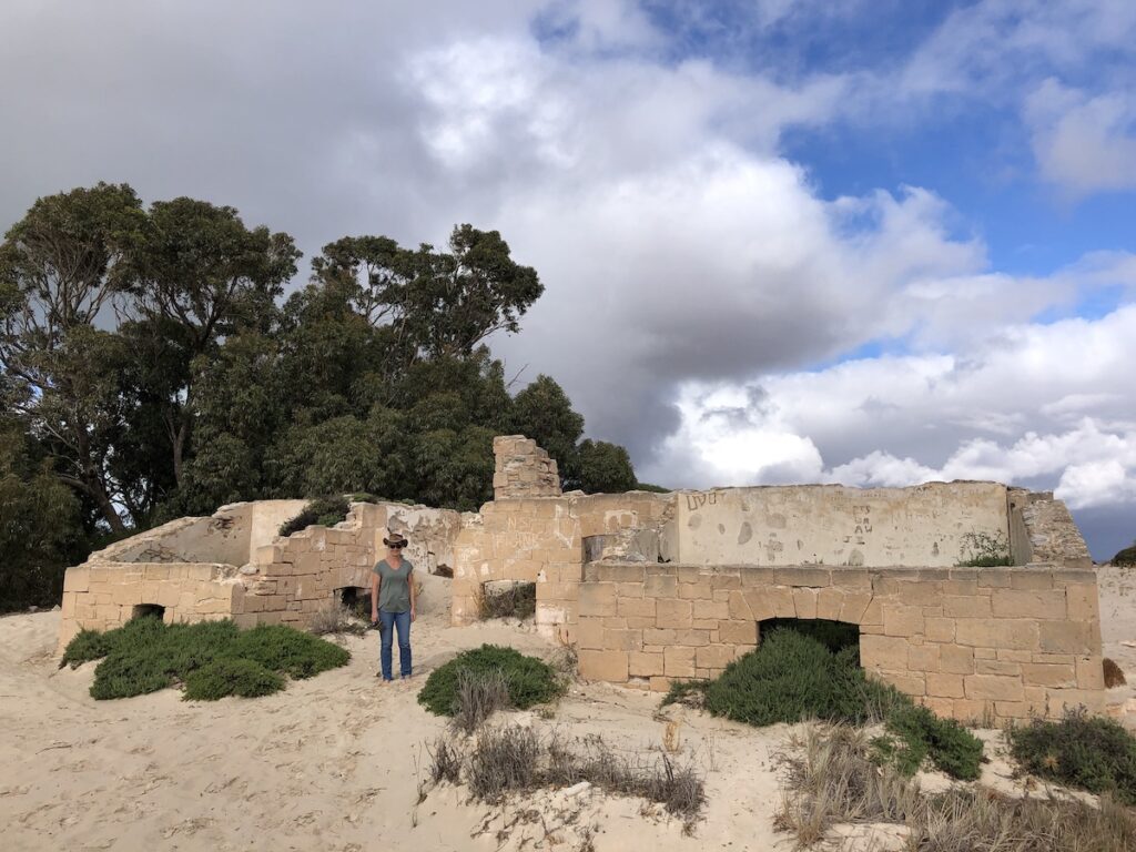
Eucla’s best known for the Overland Telegraph Station down on the plain.
Construction of an overland telegraph line from Adelaide to Albany started in the 1870’s. A manual repeater station was built at Eucla. An operator would receive a Morse code signal, then re-transmit it to the next repeater station.
Over time, technology advances made the telegraph line redundant. The Telegraph Station wasn’t needed anymore, and was left to be buried under the ever-shifting sand dunes.
The township used to be down here too. But after rabbits stripped the place bare, the sand dunes started moving towards the town. So it was relocated to the top of the escarpment.
A port was established to supply the township. A jetty and tram line were built from the port to the township.
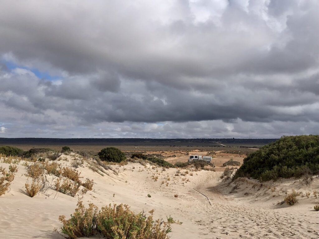
You can walk to the old jetty on a track past the Overland Telegraph Station, and dip your toes in the Southern Ocean. We started along this sandy track, but turned back because of rain. One day…
Mundrabilla Roadhouse
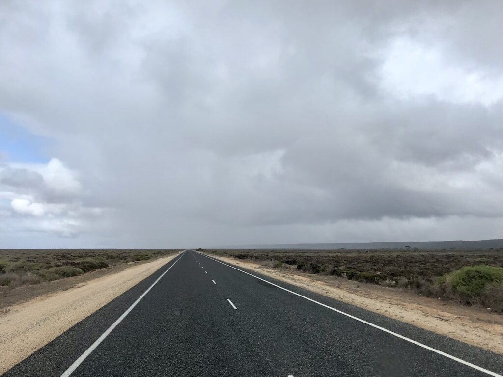
The Eyre Highway drops off the plateau at Eucla, down Eucla Pass. Once on the plain, it’s mainly saltbush and a few trees. The trees have a distinct lean towards the north, a giveaway as to the strength of the wind in these parts.
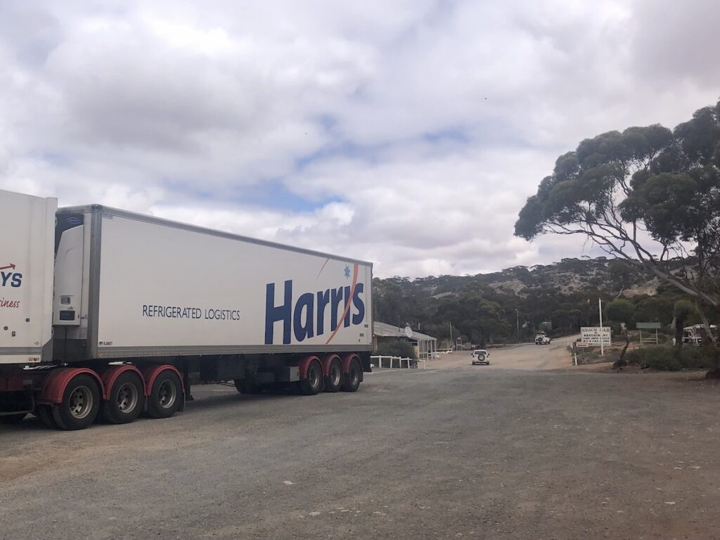
Mundrabilla Roadhouse sits 65km west of Eucla. This tidy place has a campground, bar and fuel.
It’s tucked into the lee of the escarpment, so is better protected than most places along the Nullarbor. Having said this, most bad weather comes from the south, so it still gets hammered from this direction.
Madura and The Fabled Old Coach Road
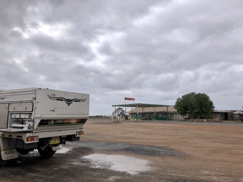
Madura is on Madura Pass, 116km west of Mundrabilla. This is where the Eyre Highway climbs back up the escarpment. You can get fuel and find a place to stay here for the night.
If you’re keen, follow a track south along the base of the escarpment for about 30km to Madura Caves. Ask one of the locals where to find the start of the track.
A bit of history for you. Nearby Madura Homestead bred horses for the British Army during the Boer War. These became known as Walers in World War One, proving themselves as reliable mounts for the Australian Light Horse. An unlikely place to breed horses I would have thought, yet I imagine these horses would have been tough.
The Old Coach Road follows the top of the escarpment from Madura to Eucla. It runs through private property, so make sure you call the station owners for permission first.
Don’t be surprised if they don’t let you go along the Old Coach Road. Firstly, they’re working properties. Secondly, they’re a bit over rescuing stranded tourists. Remember, you’re on their land. So if they don’t want you travelling along the Old Coach Road, then respect their wishes.
And thirdly, it seems most of the locals agree the Old Coach Road was never used as a coach road… or as the main Nullarbor route. The original route followed the Overland telegraph line, which ran along the plain.
Most likely, the Old Coach Road was simply an access track for the sheep stations along the top of the escarpment.
Cocklebiddy
Once you climb Madura Pass, the country is quite different. You’ll discover long stretches of quite heavily wooded country, interspersed with saltbush plains. The country continues like this all the way to Fraser Range, where you’re into “real” timbered country.
91km west of Madura is Cocklebiddy. As is a common theme along the Nullarbor, they have fuel, camping and a basic motel.
Cocklebiddy Cave is close by. About 10km west of Cocklebiddy, turn right and drive on a dirt road for another 10km. The cave is closed to the public… meaning you can’t walk into it. However, it’s an awe-inspiring cave, mostly underwater and running all the way out to sea. Go here for a summary of what you’ll see at Cocklebiddy Cave.
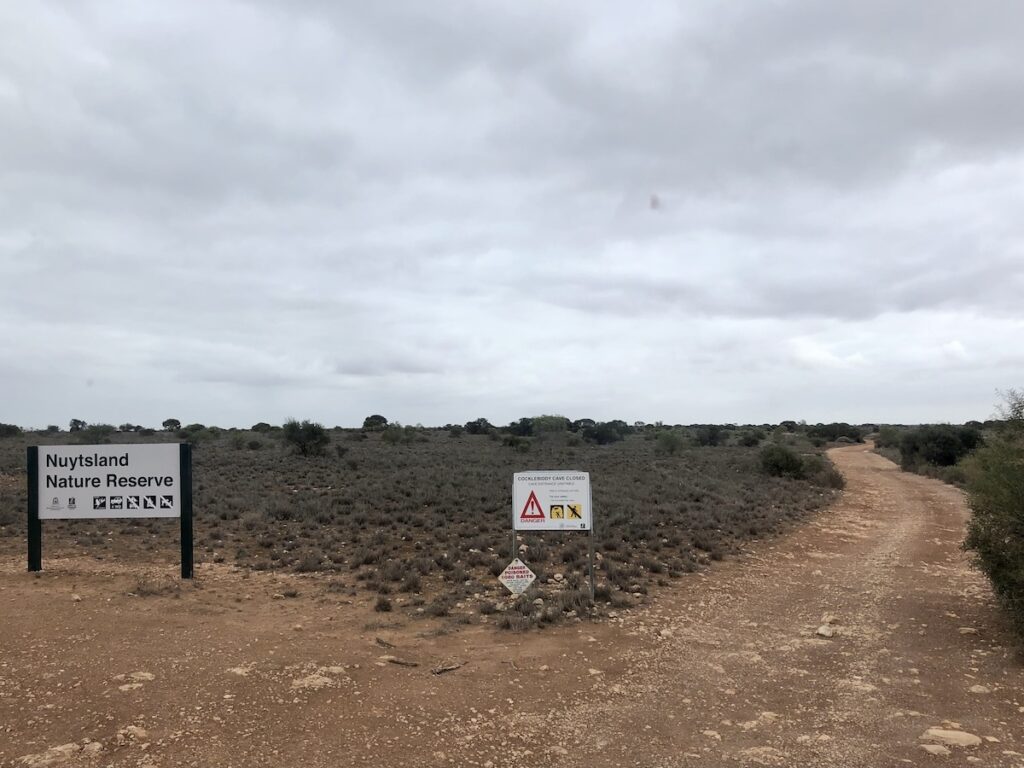
Cocklebiddy’s also the gateway to the Eyre Bird Observatory. Travel 16km east, then turn right and follow the track for 30km. It’s 4WD-only, as there’s plenty of soft sand and mallee scrub as you approach the ocean.
Caiguna… What Time Is It?
Caiguna marks the eastern end of the 90 Mile Straight, the longest straight stretch of road in Australia. Caiguna’s 65km west of Cocklebiddy… just a stone’s throw when you’re crossing the Nullarbor!
It has fuel and a campground.
We arrived sometime around 3pm, give or take a few hours. We were still confused about this Central Western Standard Time concept (see here for details). So I asked the young lady behind the counter what time it was. She had no idea either!
The day was growing long. So we decided to push on a little bit further, then find a place to camp. What could be better than camping somewhere along 90 Mile Straight?
Next time: Discovering the 90 Mile Straight, Norseman and interesting places in between.
This section of the Nullarbor trip is on Mirning Country.
Looking for more information on the Nullarbor? Then go here.
Get your BONUS Guide:
Download “Nullarbor East to West – A Traveller’s Guide”
…at our FREE RESOURCES Page!
Any questions or comments? Go to the Comments below or join us on Pinterest, Facebook or YouTube.
Any errors or omissions are mine alone.