
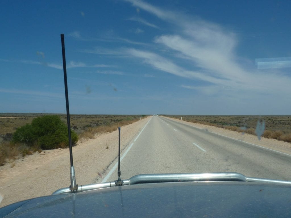
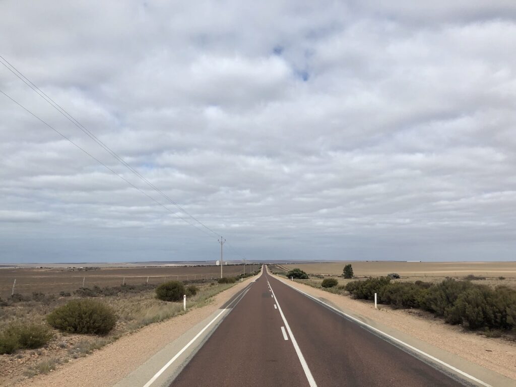
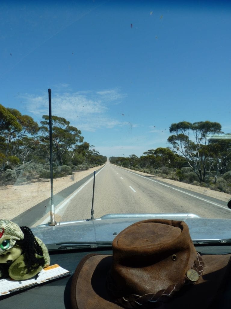
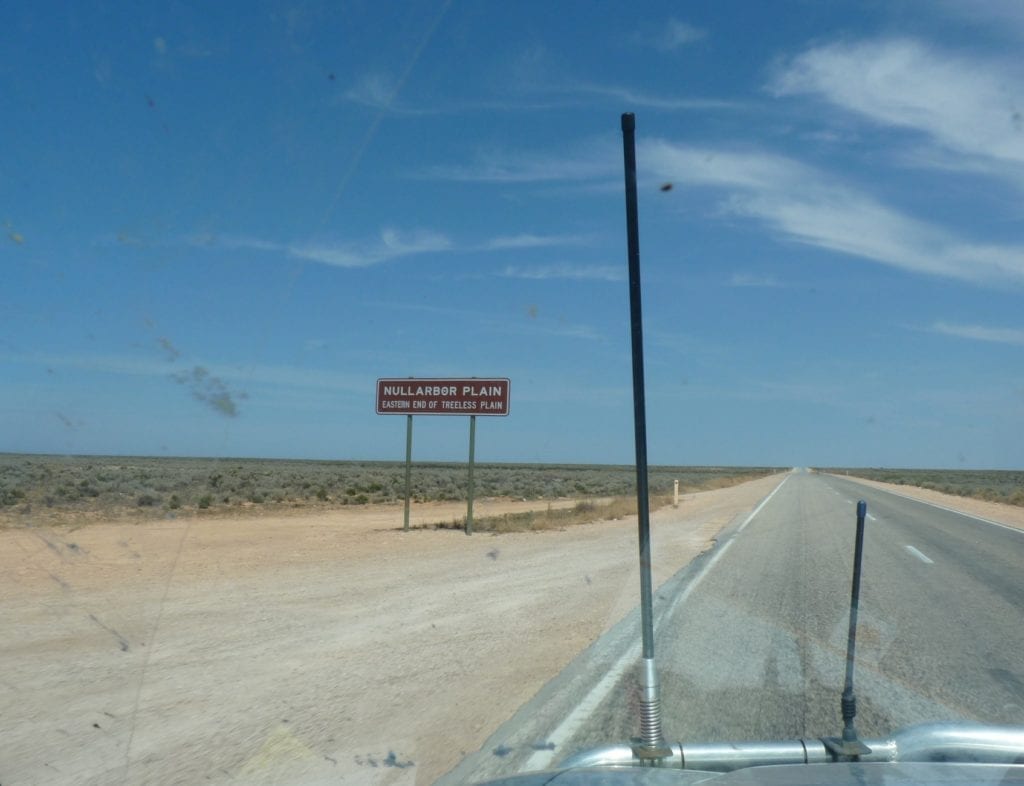
Leaving Ceduna and heading west – what a feeling! You’re about to cross the Nullarbor – 1,200km of flat, treeless plain… at least, this is the image portrayed in the travel guides.
As you’ll discover, the Nullarbor has a lot to offer. And lots of trees… a little weird, since Nullarbor is Latin for “no trees”.
Firstly, A Word Of Warning
Stock up with food and water before you leave Ceduna.
If you’re simply using the Nullarbor to get from one side of Australia to the other, then don’t worry too much. There’s enough fuel and food stops to make the trip easily… and plenty of traffic if you break down.
Fuel Stops
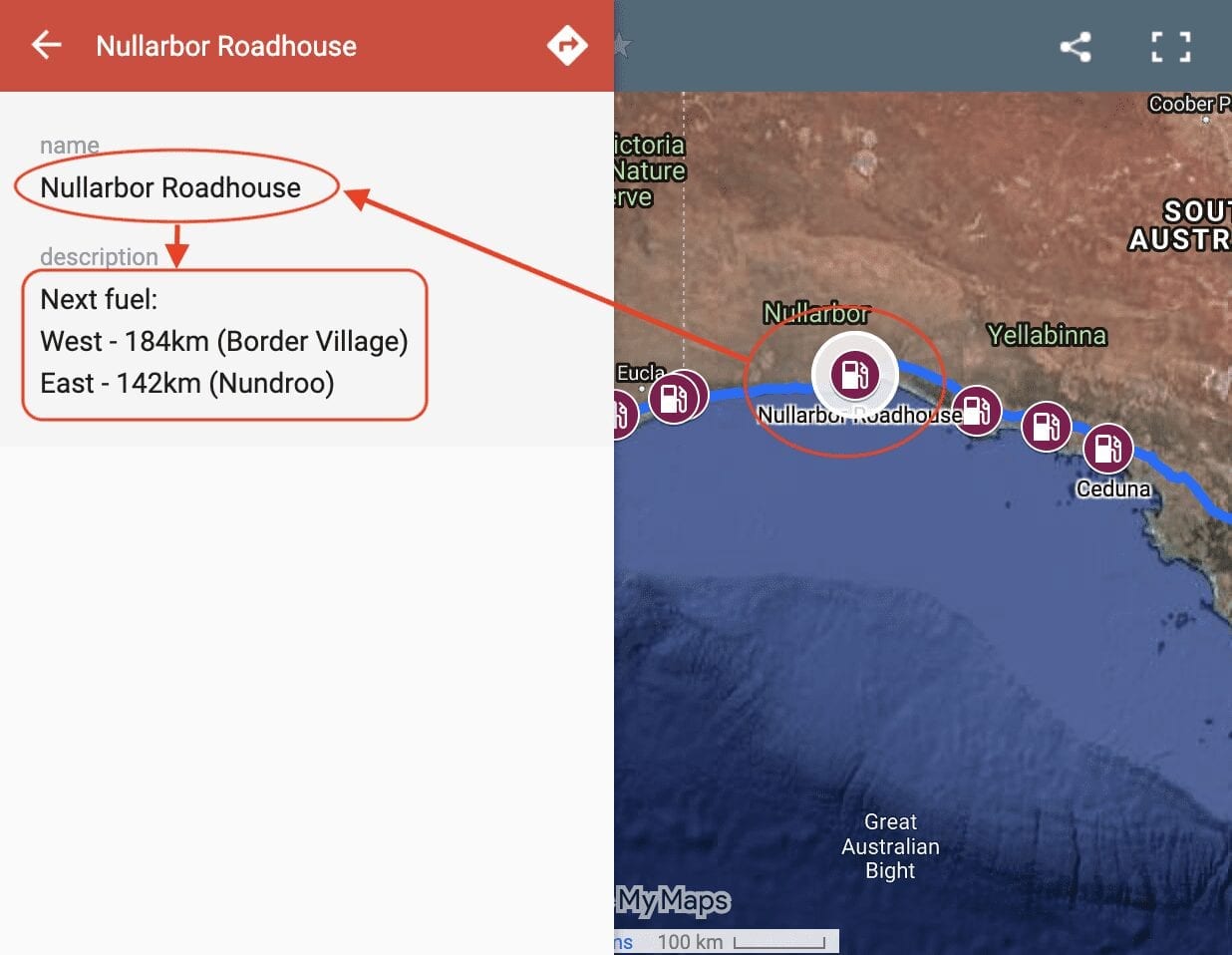
So where you can get fuel on the Nullarbor? Our Interactive Map of fuel stops across the Nullarbor will give you all the info you need.
But if you’re planning to deviate off the highway and explore, be prepared. This is especially true when you travel with kids. The amount of food they consume is unbelievable!
And summer temperatures can be insanely hot, as we’ve discovered from firsthand experience. It’s difficult to make sandwiches in 46°C heat… instant toast! So, carry water in case you break down.
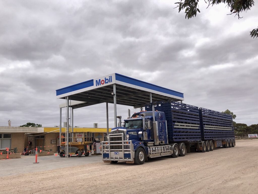
There are few provisions along the Nullarbor. Several roadhouses exist but they stock very little. What they do stock doesn’t make much sense, eg flavoured UHT milk but no plain UHT milk. Not a criticism, simply an observation.
And remember… heading west, you’ll lose all fruit and veggies even honey at the WA border. So you need to consider other food options for the WA border-to-Norseman leg.
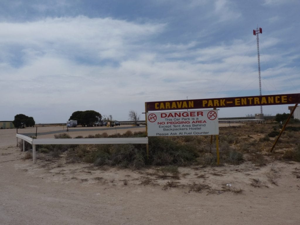
The biggest watch-out is water.
Once you leave Ceduna (or Norseman from the west), you won’t be able to refill your drinking water anywhere.
Not surprising, but it would be a major drama if you weren’t prepared. There’s no “proper” grocery store between Ceduna and Norseman, so you can’t buy the bulk 10 or 15L bottles along the way.
But we’re getting ahead of ourselves. Let’s find out more about Ceduna.
Ceduna, The Beginning Or The End?
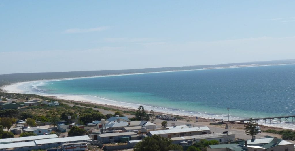
The town of Ceduna feels like a staging post, a place to either launch your foray westward across the Nullarbor or to rest up after completing your journey from the west.
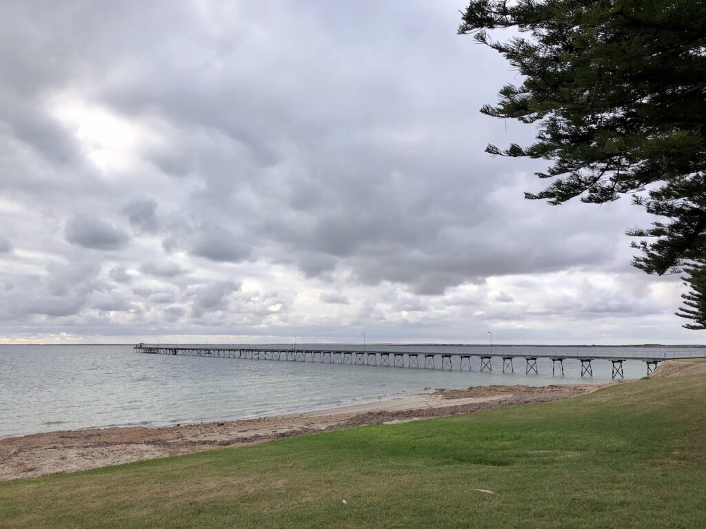
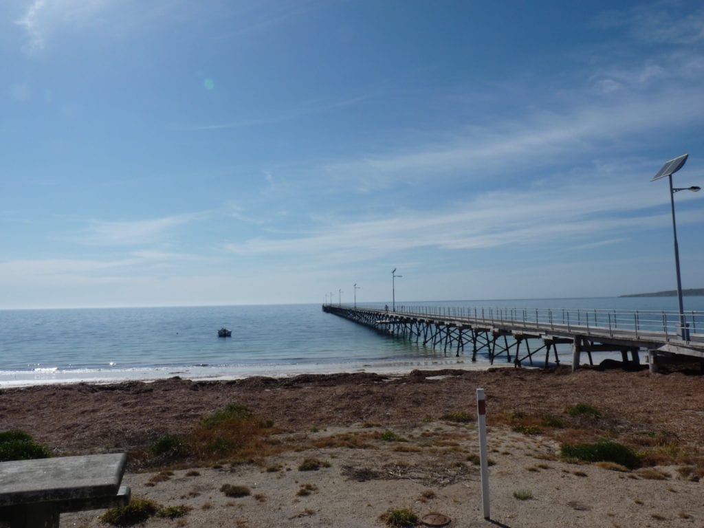
It sits on Murat Bay, a wide expanse of water favoured by recreational fishers and the odd yacht. Being wedged between the ocean and the desert, Ceduna cops its fair share of wind. It’s a Mecca for keen fishers. Many spend a few months here every year, either fishing off the long jetty in town or launching their tinnies into the choppy waters.
Ceduna’s claim to fame? It’s the “Oyster Capital of Australia” and holds the Ceduna Oysterfest every year over the October long weekend.
Ceduna has what many consider to be the best oysters in the country. Try them at the Ceduna Oyster Barn, a local institution and an essential stop for lovers of seafood.
The foreshore is brilliant. It has recently been given a facelift and is a popular place for locals and tourists alike. Plus it’s the ideal spot to watch the sun setting over Murat Bay and the Ceduna jetty.
The town has full services… a well-stocked grocery store, pharmacy, hardware store, a couple of obliging mechanics workshops and three caravan parks.
We stayed at Ceduna Foreshore Caravan Park, right in town. This popular park has new amenities, pool and camp kitchen. Most impressive! And the people who run the park, Marty and Jodie are friendly, welcoming and super-helpful.
We’ve also stayed at the Big 4 Ceduna Tourist Park a couple of times. It’s back from the foreshore, but still only a short walk into town. This park has a great camp kitchen and a friendly atmosphere.
So, What’s In Store For You?
Leaving Ceduna, the first surprise is wheat crops. They stretch at least 150km west of Ceduna. Wait, isn’t this supposed to be the Nullarbor?
Just 71 km west of Ceduna is Penong (meaning rocky waterhole). This rural township caters for the wheat and sheep industries, as well as the endless parade of travellers rolling through town.
Penong’s claim to fame? It’s home to Australia’s biggest windmill. In fact, it could probably also claim to have the most windmills… they’re everywhere! Call in a have a look at the Windmill Museum. It really is worth a look, especially if you were brought up on a farm and had a windmill or two.
Penong has a general store, pharmacy and service station.
Ceduna to Penong is an endless expanse of completely cleared cropping country. This marginal country yields wheat, growing in among the paddocks of stone. The scrub along the road verges gives a small hint of how densely this land was vegetated before it was cleared for cropping.
Nundroo is the next stop, 82 km west of Penong. The “town” basically consists of a roadhouse and a mechanic’s workshop.
The mechanic comes highly recommended, although we can’t personally vouch for him. You’ll meet this bloke if you break down on the Nullarbor in South Australia. He’s the one who’ll turn up with a tilt tray and get you out of trouble!
The seemingly endless wheat country peters out between Penong and Nundroo, with just a couple of last-gasp crops at Nundroo. After Nundroo, you’re into quite densely timbered country.
Fowlers Bay
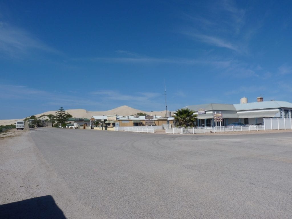
120 km west of Ceduna, turn left off the Eyre Highway to Fowlers Bay. Follow the road for about 23 km until you reach the small town, perched between the beautiful bay and huge white sand dunes. The road from the highway is tar, but becomes dirt about halfway along.
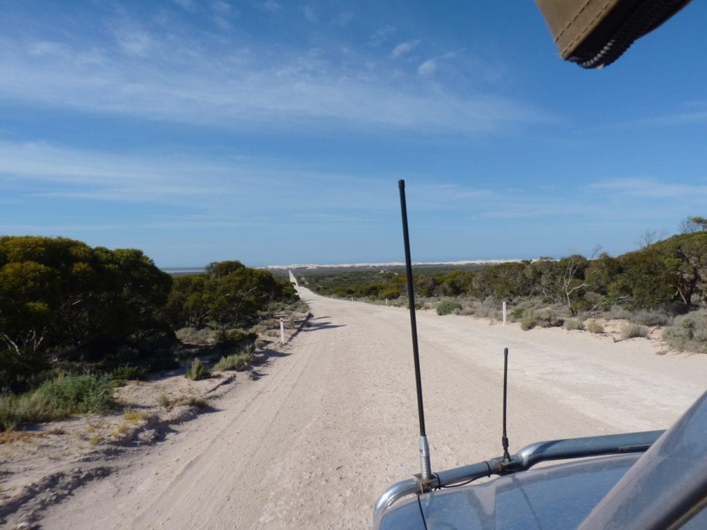
The dunes tower over the town, threatening to engulf it. They are begging to be climbed, so of course we obliged.
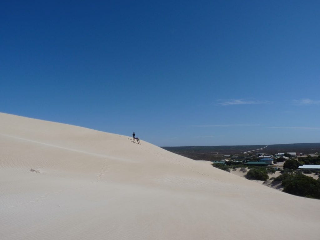
The bay is a favourite haunt of whales, with its protected water providing respite from the wild Southern Ocean. Not surprisingly, Fowlers Bay is a popular place for whale-watching.
Fowlers Bay has a fascinating history involving one intrepid explorer, whalers and an important port for nearby stations…
Fowlers Bay, Base Camp For An Epic Journey
Edward John Eyre was an explorer. He described the Nullarbor as…
“a hideous anomaly, a blot on the face of Nature, the sort of place one gets into in bad dreams”
… and then decided to walk across it!
From Adelaide to Albany in the searing summer heat, with no clue of whether fresh water existed along the way. I think those early explorers were slightly mad.
In 1840 Eyre, John Baxter and 3 aboriginal guides – Wylie, Cootachah and Neramberein – set off from Adelaide with a plan to walk over 2,000km to Albany.
At the time, Fowlers Bay was a favoured haunt for European and American whalers. Eyre had a supply dump established at Fowlers Bay, with supplies being dropped off by ship. This was to be Eyre’s launching point for an epic journey.
Only Eyre and Wylie made it to Albany… the 2 others had killed Baxter and disappeared with the party’s provisions.
Wylie had little experience in such an arid landscape. He was a Noongar man from King George Sound at Albany – vastly different country to the arid Nullarbor landscape. Very importantly though, Wylie had the language skills to seek help from other Indigenous people along the way.
Go here for a detailed account of Eyre and Wylie’s incredible feat. It’s an excellent read and reveals what an extraordinary man Eyre was.
Fowlers Bay, Transport Hub Of Yesteryear
Mapped by Dutchman François Thijssen in 1627 and named by Matthew Flinders in 1802, Fowlers Bay was favoured by whalers in the 1840s. Southern Right Whales and Humpbacks would come into the protected waters of the bay to rest. Of course the whalers followed.
Proclaimed a town in 1890, Fowlers Bay had grown to become an important transport hub for locations west of the bay. Large sheep stations like “Yalata” needed a reliable transport link back to markets in Adelaide and further afield.
With the advent of efficient and reliable road transport, Fowlers Bay faded into obscurity. Now it’s a picturesque settlement on the edge of a pristine bay. Recreational fishing, whale-watching and a laid-back atmosphere attract tourists.
Well worth a visit.
Yalata, A “New” Fuel Stop
Many years ago, Yalata had a Roadhouse. However, it was condemned and closed several years ago.
The good news is, Yalata now has a 24 hour self-serve fuel bowser. And there’s plans to construct a roadhouse soon.
If you’re thinking of visiting Maralinga, turn off west of Nundroo and follow the road for about 200 km into the site of Australia’s first nuclear weapons test site. You’ll need a permit and directions.
Note: You need a permit to visit Maralinga. Go here for more information. There’s a barrier gate and the site is security fenced. You’ll find all the information you need to gain access to Maralinga here.
The story of Maralinga is both fascinating and horrifying. The lies and deceit about what happened there have far-reaching effects, even now. Frank Walker brings the story to life in all its ugly detail.
The country around Yalata is quite hilly and heavily timbered. Then the saltbush appears. There’s a few sand dunes, the trees quickly thin out, and you drop down onto the vast limestone plain of the Nullarbor. Well, maybe not drop… more like ease.
Since the limestone is so porous, it can’t sustain anything much larger than shrubs. Hence the reason why the Nullarbor has so few trees.
By the way, quite a few of you have asked if you can still drive on the Old Eyre Highway, between Yalata and Nullarbor Roadhouse. Not any more. There’s no longer any public access on this section of the old highway.
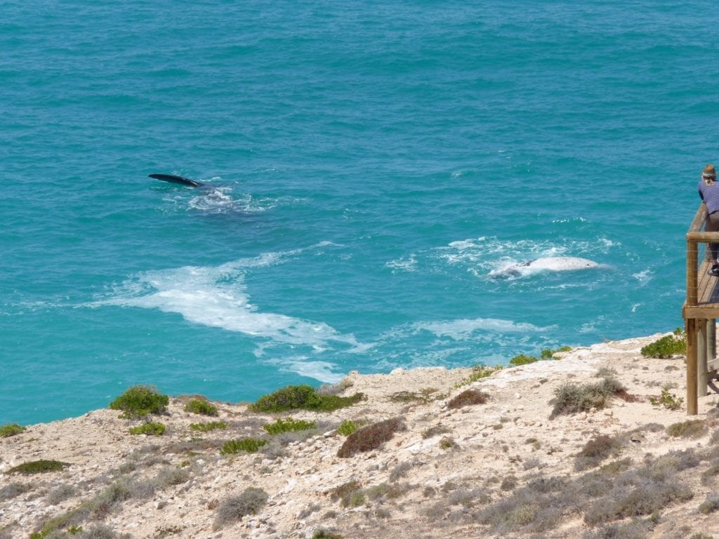
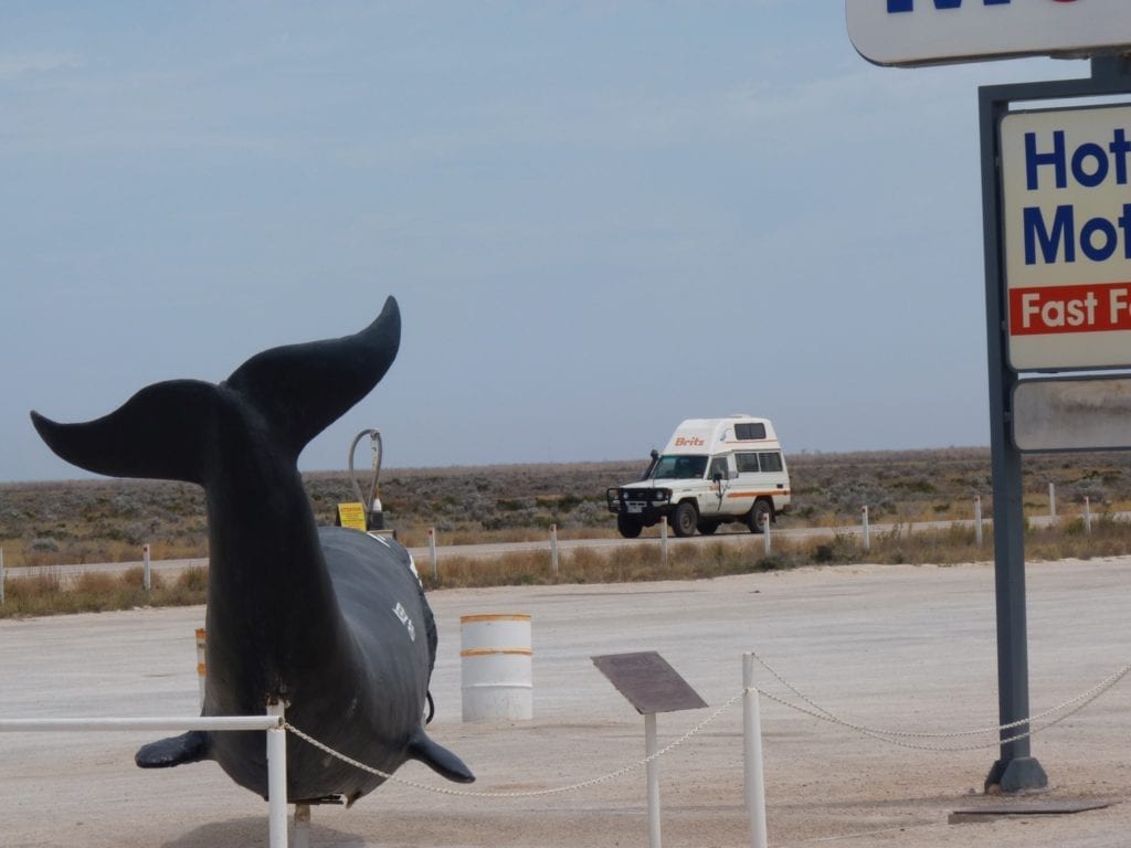
Head Of The Bight – Gentle Giants
About 165 km west of Fowlers Bay (85 km west of Yalata) is Head Of Bight. From May to October, Southern Right Whales come to Head Of Bight to mate, calve and just generally hang out together.
Southern Right Whales are so-called because they were the “right” ones to hunt… slow moving with huge supplies of whale oil.
A fantastic viewing platform provides uninterrupted views of the whales. You feel like you could reach down and touch them. Yes, you have to pay to watch the whales… but believe me it’s worth it.
An excellent Visitors Centre will teach you all you ever wanted to know about whales.
We visited Head Of Bight in October, right at the end of the season. So weren’t really expecting to see any whales. This particular season, 50 whales with calves had been living there.
All the calves had grown and gained strength, ready for their epic swim south in the Southern Ocean. Pair by pair, Mum and bub had left the safety of Head Of Bight for unknown perils and adventures. All but one pair…
One mother and calf were still there. This was highly unusual, normally they would have all departed.
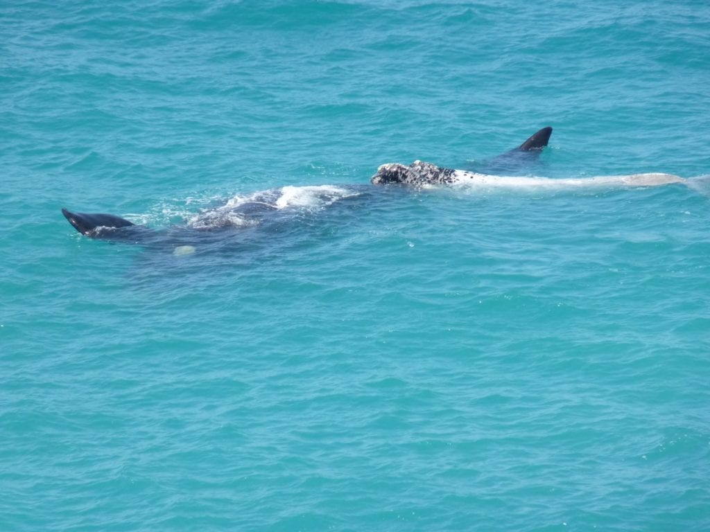
What a sight! Such majestic creatures, and so big! Mum weighs in at up to 80 tonnes and around 15 metres long, while the “baby” calf is up to 1-1/2 tonnes and 6 metres long at birth.
They were right in close to the shore.
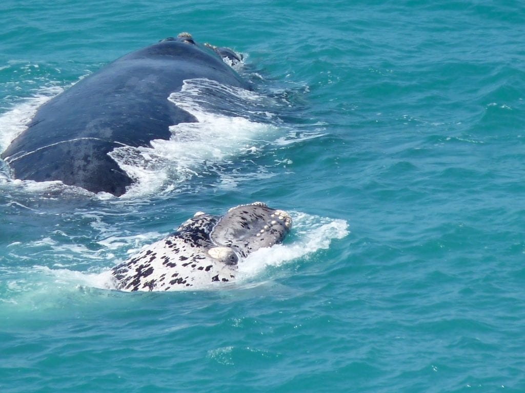
Mum was quietly floating around while the calf was playing… disappearing only to pop up behind Mum, in front of Mum, and several times lie on top of Mum. We were mesmerised.
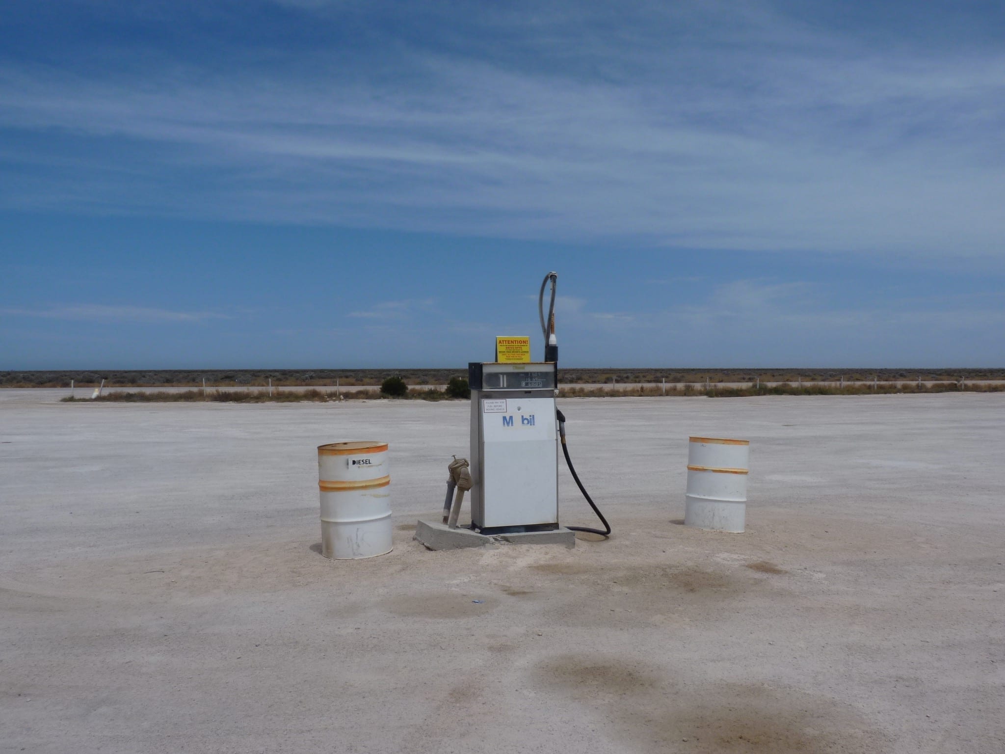
Nullarbor Roadhouse
Nullarbor Roadhouse is just 20 km west of Head Of Bight. This is a popular stopping point for travellers, something of a must-see destination. There’s always a few road trains, caravans and backpacker vans parked out the front.
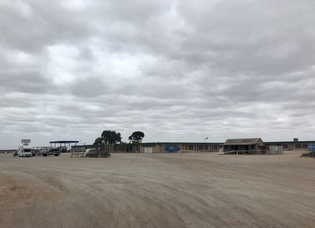
It’s also a good place to camp. While the campground looks barren and exposed at first, this is all part of the experience. Spend a night there… you can while away the hours before dark observing the wide variety of travellers who pass through.
This place has character, particularly the scale model of the old garage with the old bowser out the front.
The Old Eyre Highway leaves the current Highway here, on a route further inland.
You can follow the Old Eyre all the way to the WA border from Nullarbor Roadhouse. Be careful though. It’s extremely remote and only suitable for well equipped 4WDs. Don’t even consider going this way in summer.
Next time we continue westwards across the Nullarbor, from Nullarbor Roadhouse to Koonalda Station.
This section of the Nullarbor trip is on Wirangu and Mirning Country.
Looking for more information on the Nullarbor? Then go here.
Get your BONUS Guide:
Download “Nullarbor East to West – A Traveller’s Guide”
…at our FREE RESOURCES Page!
Any questions or comments? Go to the Comments below or join us on Pinterest, Facebook or YouTube.
Any errors or omissions are mine alone.