Burke Developmental Road – Normanton To Mareeba, QLD
A Long Way Between Drinks – And Fuel
Burke Developmental Road (BDR) is an excellent choice if you’re looking to travel between the Gulf and the Cairns area. It really is the road less travelled, probably because it’s dirt – and the alternative route (Gulf Developmental Road) is tarred. Where’s the fun in that!!
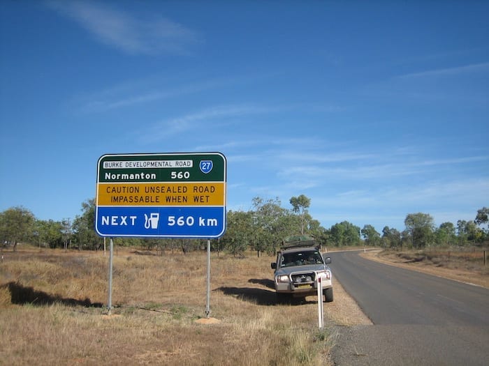
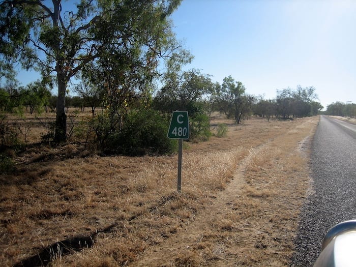
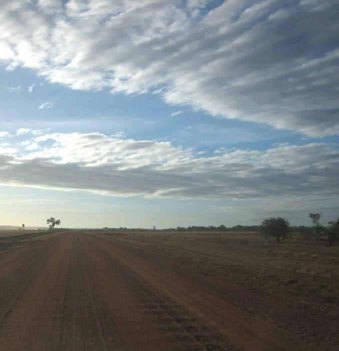
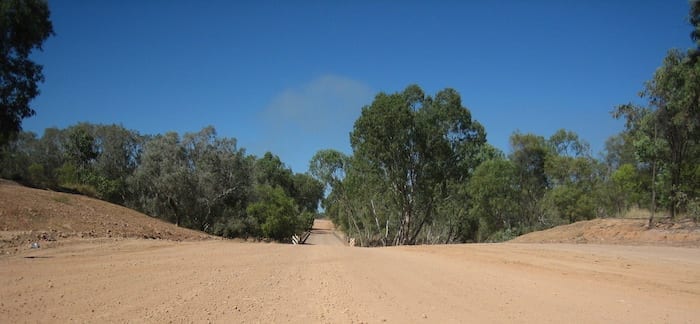
Leaving Normanton, pretty soon you’re on the dirt. BDR was constructed to service the Channel Country beef industry, enabling road train access to the huge cattle stations dotted along the route. So the road is wide and mostly flat and generally in good condition.
Update: We travelled this road again and it was vastly different! Go here for an update on road conditions.
Cattle, Cattle Everywhere And Not A Steak To Eat…
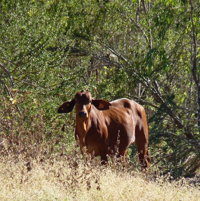
This is cattle country. Brahman cattle (and their variants) thrive in these conditions – thousands of acres of black soil plains with grass about a metre high in amongst the savannah woodland. These cattle are bred for export all around the world.
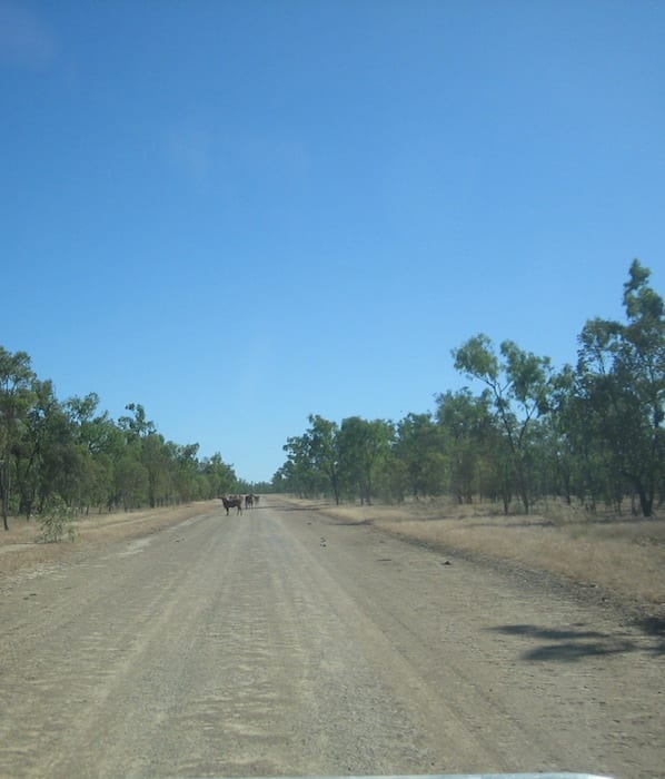
Consequently, we saw large mobs of cattle all along the BDR. They seem to like standing on the road for some reason. Maybe they were doing a traffic survey…
So you’ll need to keep an eye out for cattle on the road. Slow down to a crawl and let them move out of the way. This can take some time, but that’s okay – what’s the hurry?
Miles From Nowhere
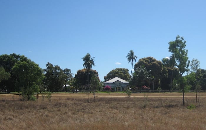
You won’t encounter much – if any – traffic and station homesteads are few and far between. In fact the only station near the road is Dunbar Station. It’s right up near the Mitchell River (see map above) and has its own airstrip. In these parts, a light plane would pretty well be an essential item. Dunbar Station’s a long way from any town.
The house itself is a classic Queenslander, perfectly suited to the climate. Apparently there’s a notorious crossing of the Mitchell River not far to the North. You can take this as a “shortcut” to Cape York, but it’s not for the inexperienced.
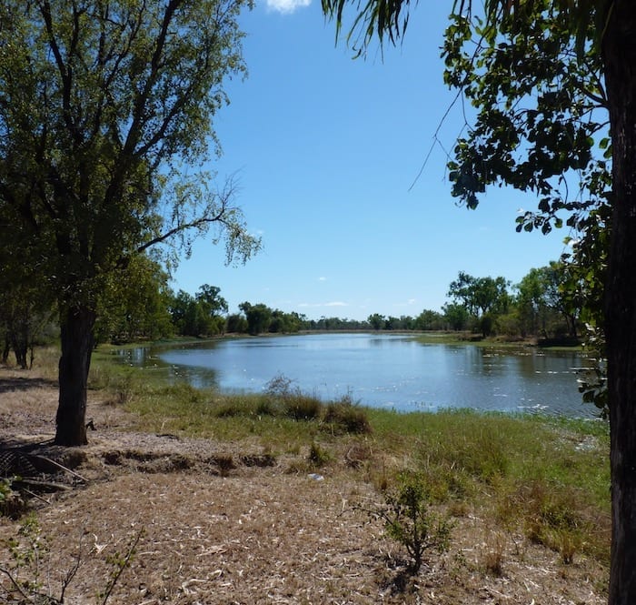
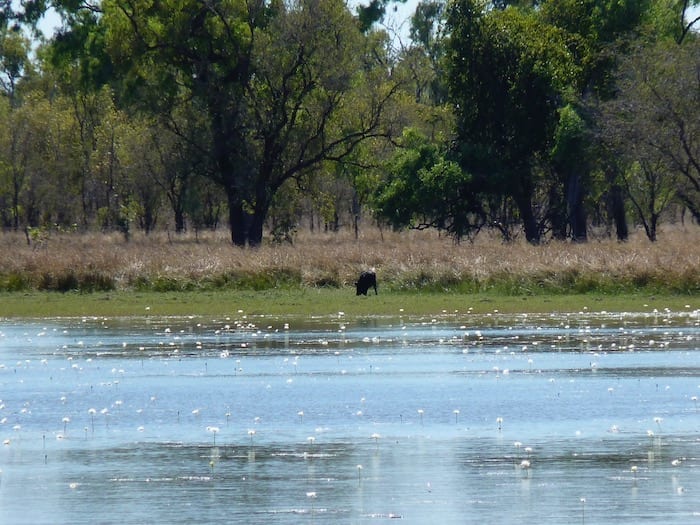
You’ll be travelling in a vague Easterly direction once you pass Dunbar Station. Away in the distance to your left (North) is the Mitchell River. You won’t really see the river, but you’ll encounter the occasional billabong – offshoots of the river proper.
Bush Camping on Walsh River
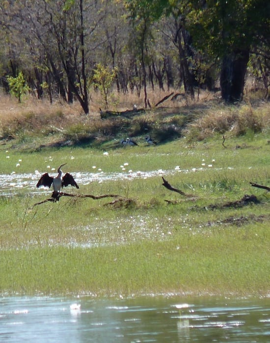
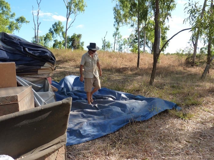
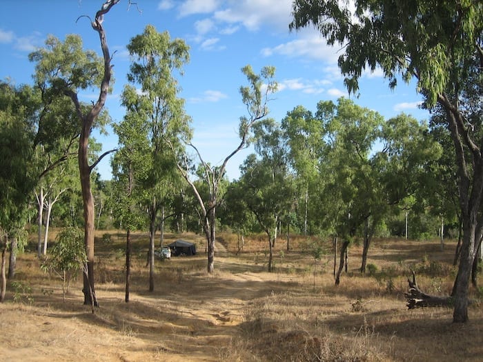
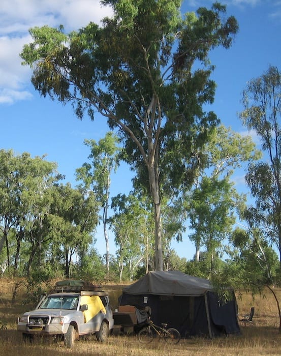
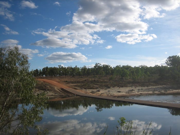
At Walsh River crossing, we turned right off the BDR and found a bush campsite. Surprisingly a couple of other travellers were camped there as well. So we stayed well away to respect everyone’s privacy.
Update: Camping conditions have changed drastically since this article was written. Go here for an update on camping… or rather, lack of camping.
What a brilliant spot! So peaceful and quiet. One vehicle crossed the river the whole time we were there – a road train on its way to who knows where.
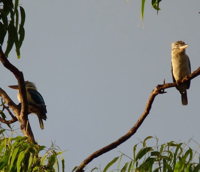
In the morning we awoke to the strange call of blue winged kookaburras. Certainly beats being woken by an alarm clock!
Chillagoe – Back To Civilisation
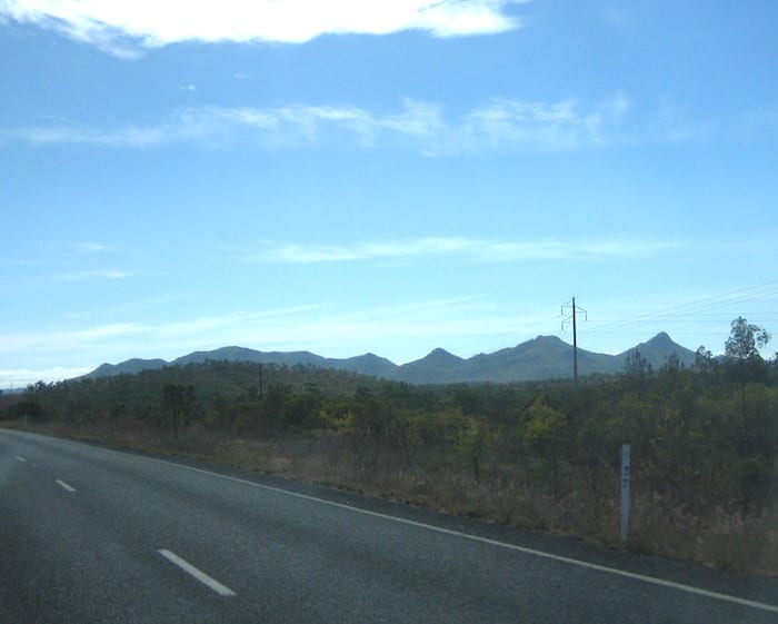
Pushing further East on the Burke Developmental Road, we eventually started to see mountains on the horizon. The Great Dividing Range was looming in the distance! Strange black rock outcrops and some “real” hills signalled Chillagoe was close.
About 95km north-west of Chillagoe is Mount Mulgrave Road. This takes you up into the Palmer River Goldfields, an excellent alternative route to Cooktown or Cape York.
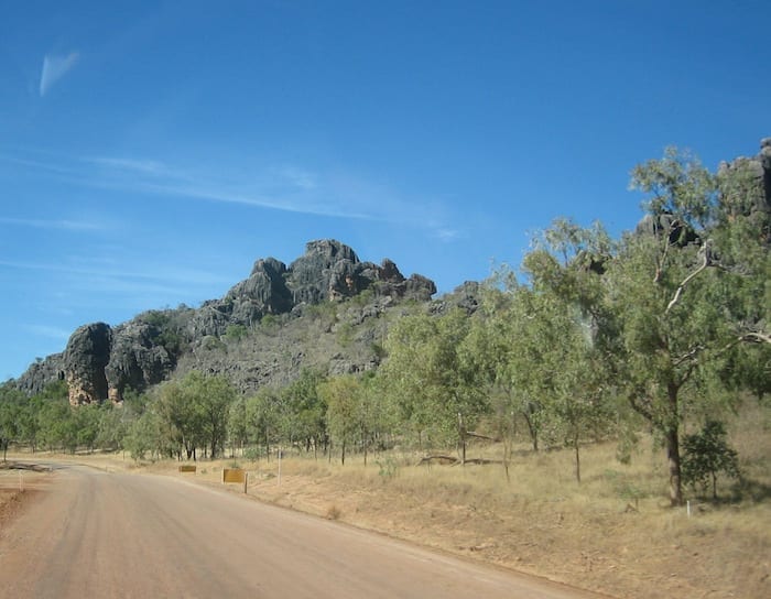
Chillagoe was established in the late 1800s as a mining village. The town’s residents obviously take pride in its appearance. It’s probably best known for Chillagoe Caves… weird black limestone caves just out of town.
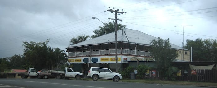
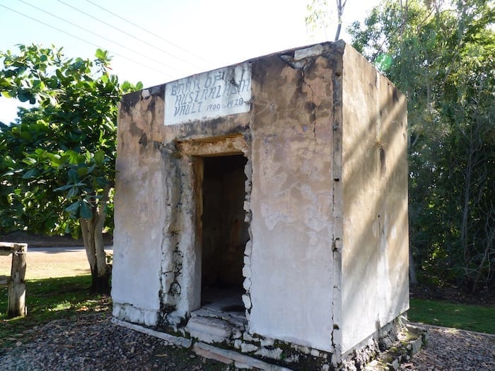
This area is certainly well worth exploring further.
Mareeba – Greenery And Travellers
We had planned to stop in Mareeba for a few days. However, the place was full of travellers and tourists. All the caravan parks were full. Our only alternative was the local show ground, which didn’t appeal.
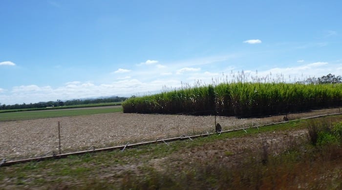
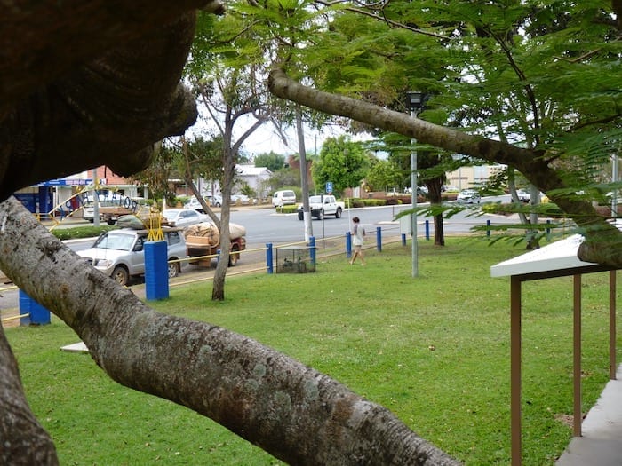
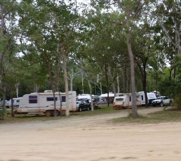
So we decided to push on towards Cooktown, expecting to find a rest area. But it wasn’t to be. All the rest areas were full – in fact they looked more like caravan parks than rest areas…
In Conclusion
The Burke Developmental Road is one of the great drives in Australia. It surprised us. We knew nothing about it and decided to travel this way on a whim. Sometimes it pays to follow your nose!
Update: Go here for updates on road conditions and camping restrictions along the Burke Developmental Road.
Next time: Discovering Cooktown, a town with a fascinating history.
The Burke Developmental Road is on Kurtjar, Kunjen and Agwamin Country.
Get your Traveller’s Guides
… and a whole lot more at our FREE RESOURCES Page!
Any questions or comments? Go to the Comments below or join us on Pinterest, Facebook or YouTube.
Any errors or omissions are mine alone.
For more great articles on Outback Australia, go here.
