Keep River National Park is full of surprises. It has natural beauty to rival Purnululu (Bungle Bungles)… without the crowds.
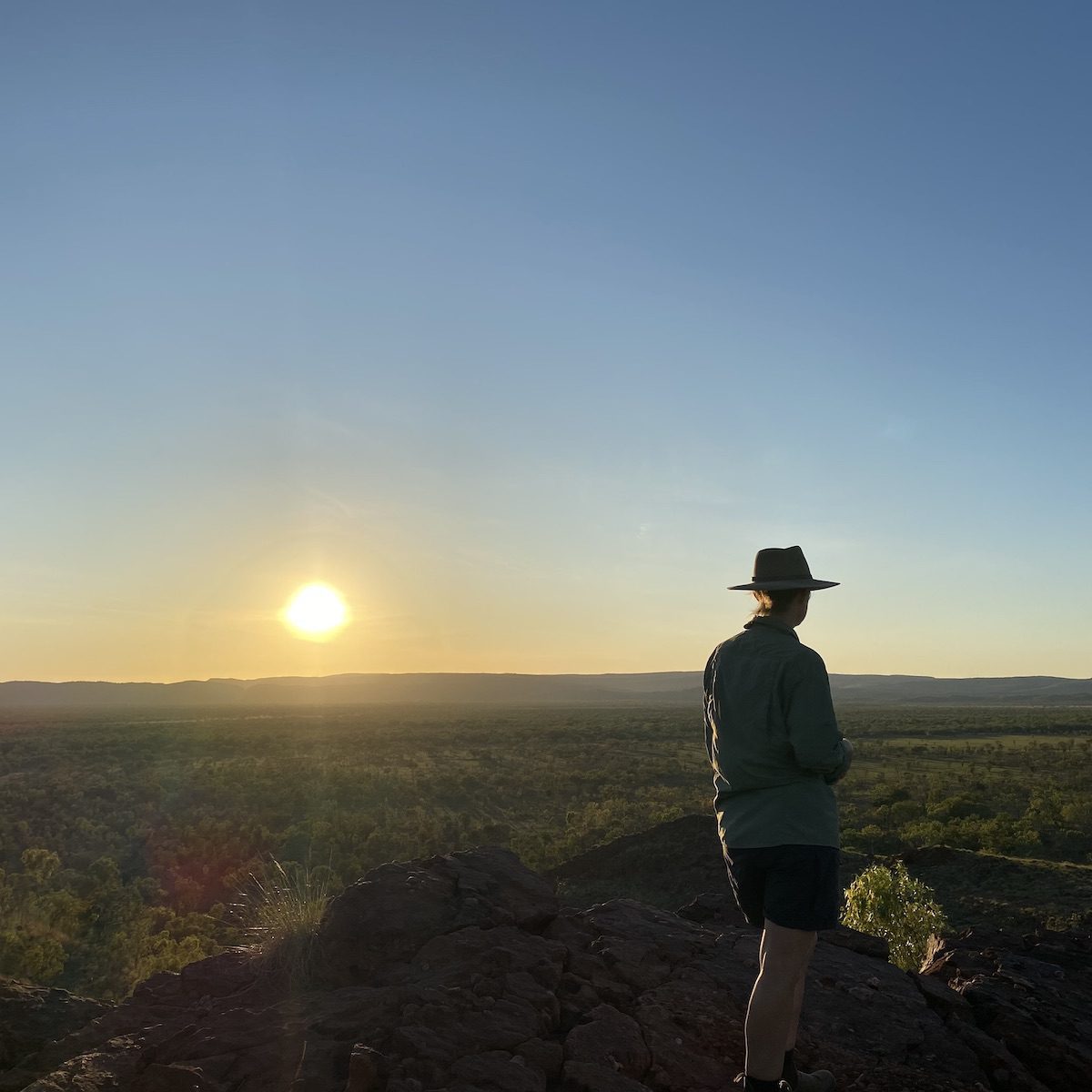
Four unique walks, two campgrounds, and short distances mean you can easily explore the Park. And if there’s one thing you simply have to do, it’s get up early and experience the sun rising across the stunning beehive rock formations.
Either campground allows easy access to the beehive formations. So set the alarm and get moving early!
How To Get There
The entry to Keep River National Park is an easy 46km drive from Kununurra, which is just to the west in Western Australia. The Park sits in the Northern Territory, bordering Western Australia. It is north of the Victoria Highway.
From Kununurra, cross the WA/NT border, travel 45km east on the Victoria Highway, then turn left at the sign.
If you’re coming from the east, the entry is 469km from Katherine or 180km from Timber Creek.
Camping And Facilities
A Ranger Station is only 3km from the Park entry, at Woorrilbem (Cockatoo Lagoon). They have an excellent Information Centre, with loads of interpretive signs and information sheets to take with you.
A highlight is a selection of Indigenous art created by local artists. Each tells a story of their Country within Keep River National Park.
The Information Centre sits close to Woorrilbem or Cockatoo Lagoon. This rarely dries up in the Dry and is home to a range of birds… including a flock of mischievous cockatoos.
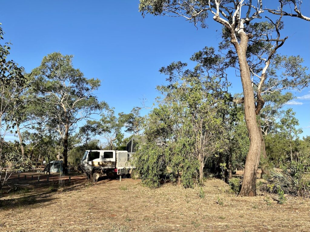
Keep River National Park has two campgrounds, each with spacious and well spread out sites. They both have drop toilets, some tables with seats, fire pits, and limited water (seasonal).
Don’t rely on the water though. If it’s available, boil before drinking. Make sure you’re self-sufficient with water, as they only have limited rainwater.
You’re allowed to have camp fires in the designated fire pits, although you shouldn’t need one for warmth. We visited in August and the nights were hot.
Pretty much every campsite at both campgrounds was exposed to the sun. You might get some morning and possibly afternoon shade if you’re lucky. But be prepared for an absolute roasting during the heat of the day.
Northern Territory has gone across to an online booking system. You can book the campgrounds here.
Goorrandalng Campground
Goorrandalng Campground is an easy 18km drive north of the Park entrance. The road’s rocky and corrugated, so take it easy. If you have an off-road caravan, then Goorrandalng is probably the best option.
Jarnem Campground
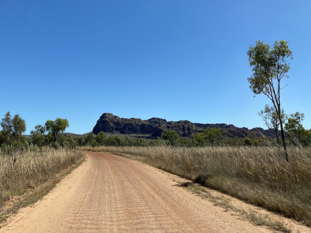
Jarnem Campground is 31km north from the Park entrance. As with Goorrandalng, the road’s rocky and corrugated. On the way, you’ll cross Keep River twice. However, it’ll most likely be bone-dry.
Fun fact. From Jarnem Campground, it’s only about 60km to the Timor Sea as the crow flies. Although I imagine it’d be a challenging trek. If the crocs didn’t get you, the heat probably would!
Speaking of crocs, keep in mind you’re in crocodile country. Treat any lagoons and waterholes with respect. You never quite know what’s lurking under the surface.
There’s no phone reception and you need to book online before arriving.
Walks In Keep River National Park
The scenery in Keep River National Park is an absolute revelation.
We weren’t expecting much. We assumed we’d be in among spectacular red ranges, but had no idea how beautiful Keep River is.
It’s located in the transition zone between sub-tropical and semi-arid. So Keep River’s home to a huge variety of plants and animals. This mix of plant life gives the area a unique feel.
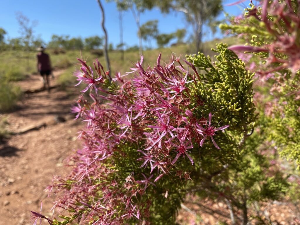
Going north from the Victoria Highway, rugged rocky hills are covered in spinifex. Then you’re in floodplain country with deep red-coloured ranges either side. High cane grass forms a stunning contrast with the red rock and deep greens of the trees and burnt country.
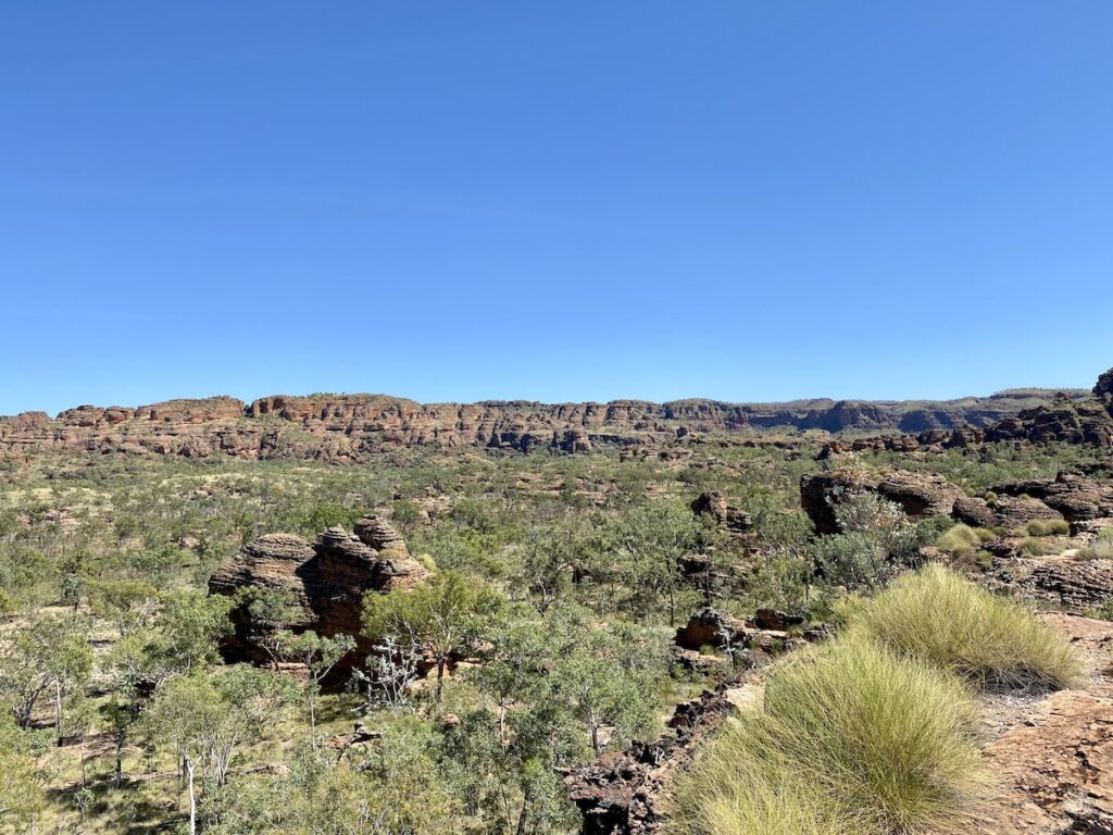
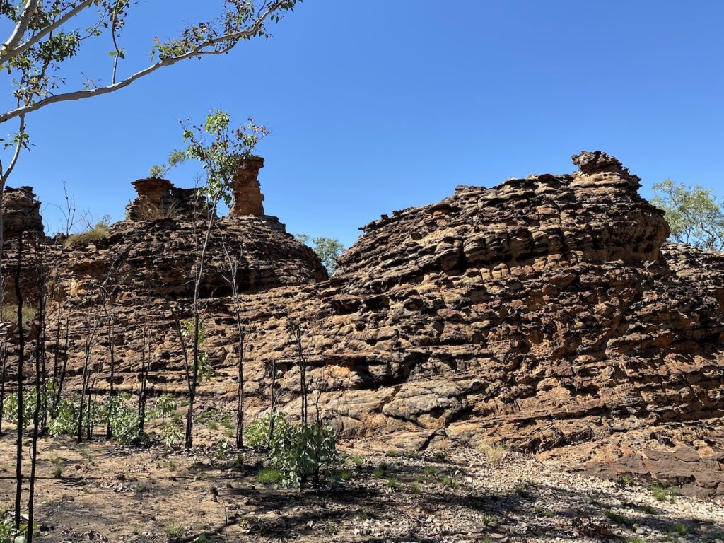
Then seemingly out of nowhere, you’re among extraordinary beehive rock formations. The only way to truly appreciate these is to walk among them.
We’ll get to these soon. Let’s go through the various walks in order, starting from the south of Keep River National Park.
Ginger’s Hill Walk
Ginger’s Hill Walk is roughly 6km from the Park entrance. This short walk is about 200m return to the top of a hill. Here you’ll see a stone structure built by the Miriwoong or Gajirrabeng people, used to catch falcons and other raptors.
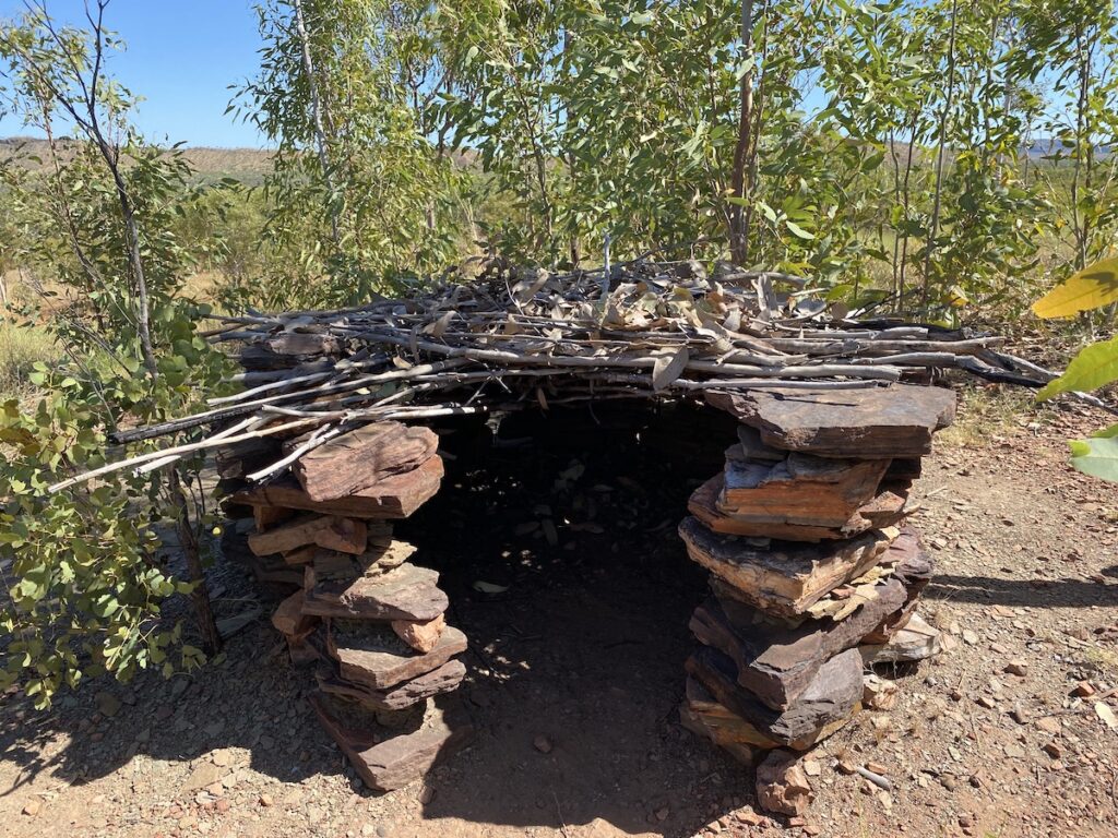
First they’d light a small fire beside the shelter to attract raptors. Someone would sit in the shelter, which had a roof of tree branches. They’d stick a feathered lure out through the top to attract the bird.
When the bird landed on the roof, they’d grab it.
Apparently, this is just one example of similar structures found throughout the region. This one was built by elder Ginger Packsaddle Banminyarri, to show visitors how the traps worked.
Goorrandalng (Brolga Dreaming) Walk
This walk starts at the Goorrandalng Campground. As you drive into the campground, you’ll start to see small sandstone beehive formations off the side of the road. This is but a taste of what’s to come.
The walk is a 2km loop, with uneven ground and a couple of moderate climbs up and over rocks.
The Goorrandalng walk reminded us of the Lost City walk in Limmen National Park. Up close, the beehive sandstone formations are fantastic. The endless layers of sandstone have eroded away over the last 250 million years to form spectacular shapes. As the rock splits, the sandstone erodes to form domes. Hence the name beehive or honeycomb.
Livistona palms cling on wherever they can find moisture. This prehistoric species thrived way back when the region was a lush tropical paradise, with dinosaurs roaming among the palms.
Occasionally you’ll see a stunted tropical red box eucalypt high on a rock. These unfortunate trees drew the short straw when it came to choice of location. Their stunted and twisted limbs tell a story of a lifetime of living on the margins of survival.
Their roots push down among cracks in the rock, seeking out every bit of moisture they can find. It’s a precarious story of surviving the extremes.
A selection of hardy plants and animals live exclusively among the sandstone… short eared rock wallabies, white quilled rock pigeons, and the Pindan wattle to name a few. How they survive this extreme environment is a testament to their resilience.
The standout feature of the Goorrandalng walk? The enormous rock mountain towering over you. You climb to a high point on the track, with a huge wall of rock to the right and seemingly endless beehive formations in the distance to the west. Simply sensational.
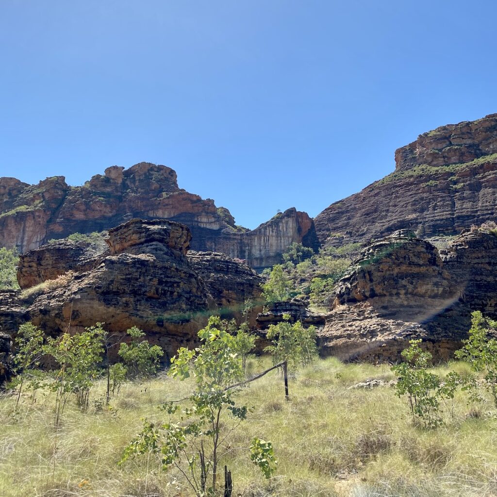
This walk is best done early in the morning, as it’s exposed. We unwisely did the walk at about midday. So we carried plenty of water, broad-brimmed hats, and cool long-sleeved hiking shirts. The best time would be as the sun rose, to get the full spectrum of early morning colours.
A spectacular walk, not to be missed.
Jenemoom Walk
About 11km north of the Goorrandalng Campground is the Jenemoom Walk.
It starts at the edge of the floodplain, meandering towards Keep River Gorge. Take note of the huge Boab tree a couple of hundred metres along the track, to your left. It would be at least two thousand years old.
If only it could talk…
The track follows the right hand edge of the gorge, with Keep River down to your left. It had just a couple of small waterholes. Keep an eye out for flood rubbish in the trees, giving a hint to the explosion of water rushing through here in the Wet.
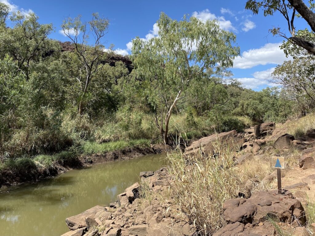
The track is reasonably difficult, with plenty of large rocks to scramble over and around. There are supposedly three rock art sites. However we couldn’t locate the first two.
There was no sign of any tracks leading up to these sites. So we respected the wishes of the Miriwoong people by staying on the track.
This is a culturally important site for the Miriwoong. They’ve generously given us ignorant whitefellas access to the extraordinary rock shelter. So it’s only fair we show them respect in return, by keeping to the track.
In short, keep to the track.
Thankfully the walk’s quite short, given we did it during the hottest part of the day!
Huge deep red sandstone cliffs tower over you, with car-sized chunks of rock jumbled randomly in your path.
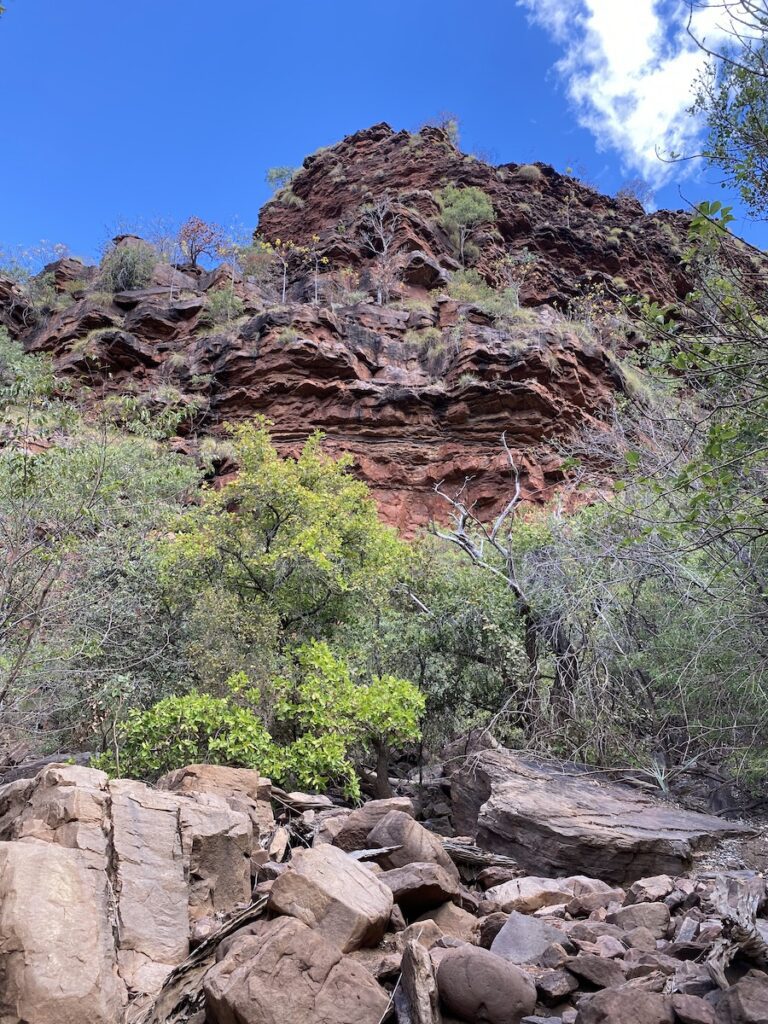
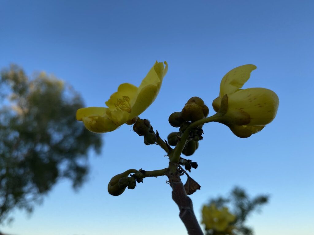
Across the river is another amazing cliff face. White spinifex creep down from the top and yellow-flowered kapok trees cling on wherever they get a foothold. Black stains indicate where water flows in the Wet. What a view!
A huge rock overhang is at the end of the track. It would have been an ideal shelter during the Wet season. The sun hardly penetrates this spot, providing a cool spot to sit out the monsoon.
You’re standing on an ancient midden, over a metre deep. It consists mainly of mussel shells. Look closely and you’ll see depressions in the rock which were used to grind seeds into a tasty damper.
Several examples of rock art stand out. There’s an emu, a brolga, among others. You’ll also see what looks like a Creation Being. These are commonly seen in various forms all across the country.
Sit down, have a rest, and imagine what life was like here not so long ago. The Miriwoong had mussels, turtles, native plums, bread from seeds, and no doubt a wide range of other foods to live on. They had shelter and a place to sit around with their families.
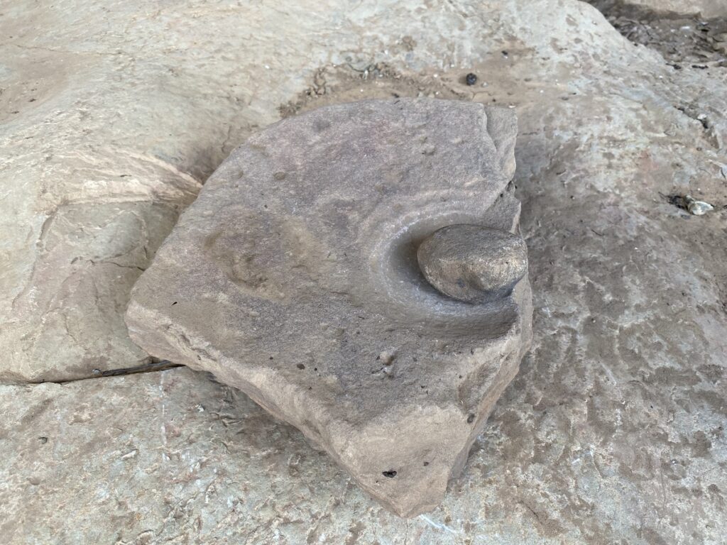
These people would have wanted for nothing. They would have lived full lives, content with their world for tens of thousands of years. Sadly white man destroyed their peaceful way of life in a few short years.
The Jenemoom Walk is one way. Re-trace your steps back to the car park. As you go, take in the sheer sandstone walls across the gorge.
Jarnem Walks
Three walks start from the Jarnem Campground. We stayed here overnight, arriving mid-afternoon. We spent the afternoon chasing the meagre shade provided by a few trees.
As I said earlier, some of the campsites are exposed for the entire day. We were fortunate to at least get some shade.
The three Jarnem Walks are best done as one. The walks are:
- Langgerrbi (Nigli Gap) Walk – 6km return, easy. Soft sandy sections.
- Jarnem Lookout Walk – 4.6km return, moderate. Some climbs up rocky gullies and hills.
- Jarnem Loop Walk – 6.5km, moderate. Links the above two walks in a loop.
Our advice? Take the third option (Jarnem Loop Walk). Not only is it a loop trail, but the other two require nearly as much time and effort.
You walk across an exposed floodplain dotted with boabs, eucalypts, and blanketed in tall cane grass. The track turns right, following the base of a range. Then it turns left, into a gully and over the low range.
The lookout’s at the top. Continue anti-clockwise to the Nigli Gap rock art, then loop back to the camp.
We were up and off well before sunrise. And our timing was absolutely perfect.
As we walked across the plain, the surrounding sandstone ranges began to glow a deep red. The sun rose behind us, switching the colours on progressively as we climbed the range.
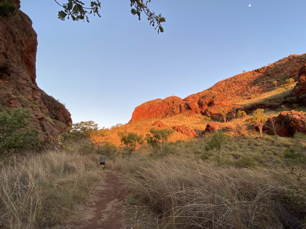
It was difficult to know where to look… the sheer red cliffs to our left, the sandstone ranges glowing with a shimmering sheet of white spinifex to our right, or the rising sun just hidden by the cliff face behind us.
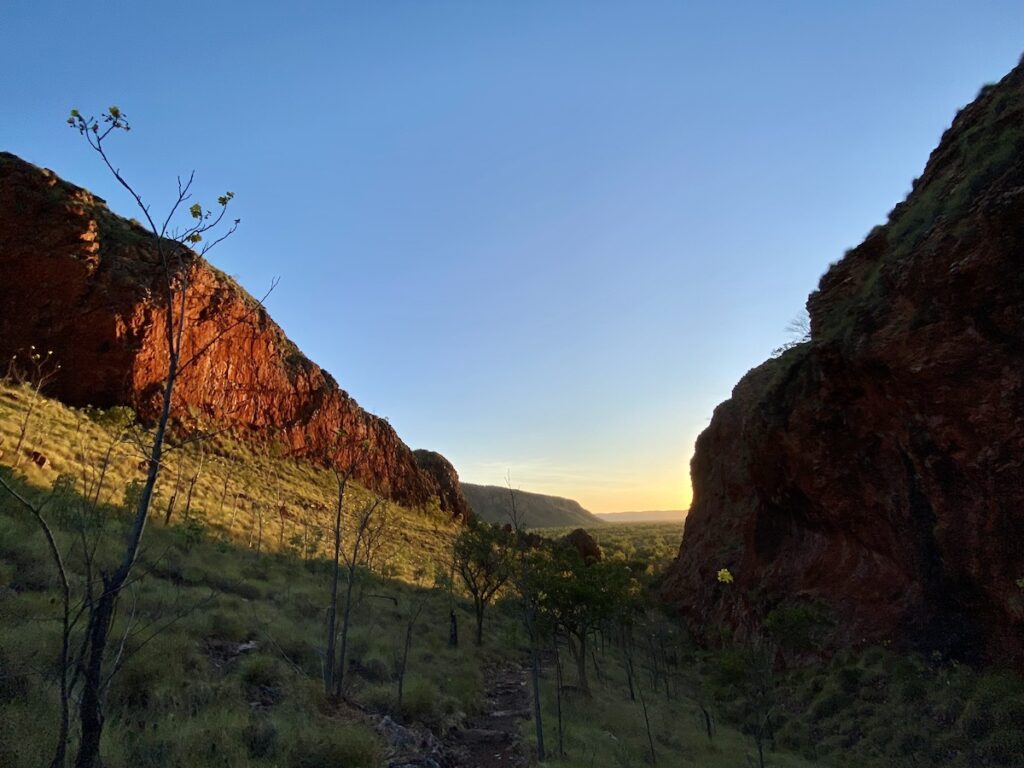
It was simply mind-blowing, possibly the best hiking experience we’ve had.
Then we climbed to the lookout and watched… as the sun awoke the stunning beehive formations across the other side of the plain. Wow!
Dropping down into the plain, keep an eye out for animal and reptile tracks on the sandy track. We saw small snake tracks, lizard tracks, goannas, kangaroos… even fresh cattle tracks unfortunately.
Sensational beehive formations greet you once across the plain. They rival anything you’ll see at Purnululu. They might not be as large, but they’re equally majestic.
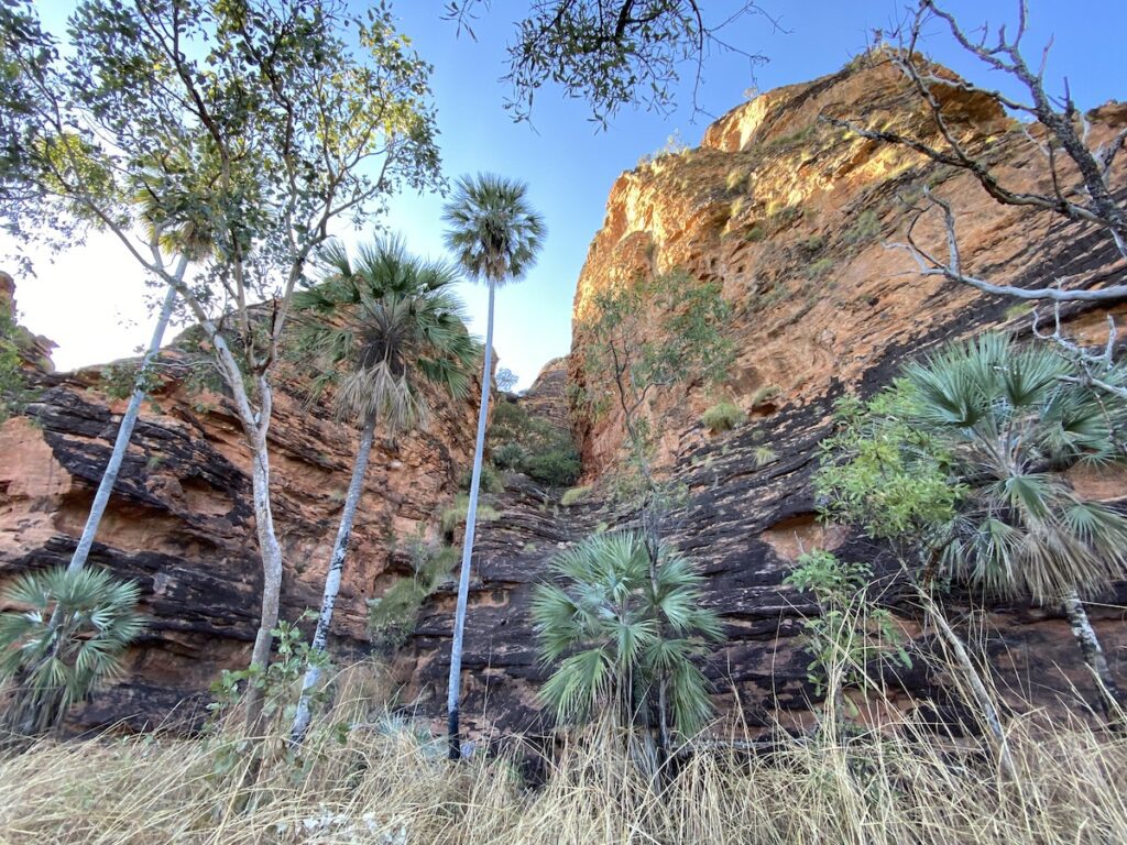
Livistona and pandanus palms thrive in shady gullies. And a huge variety of plants nestle at the base of the sandstone formations, taking advantage of any runoff.
The Indigenous art site is an ideal place for a rest. It has the feel of a bush classroom. You can easily imagine an elder drawing something on the rock, with a bunch of kids sitting around in a semicircle.
Leaving the rock art site, you wander across a sandy plain. It’s shady with lots of pandanus palms and various gum species.
Pretty soon, you’re back on the same track you started on and back at the campground.
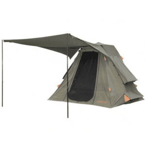
If you’re searching for camping gear and accessories, Outback Equipment has a wide range available. Go here to find out more.
A Well Kept Secret
Keep River National Park is a well-kept secret. It’s one of those places you might drive past without a second glance.
Yet it has so much to offer.
If you’re planning a trip to the Kimberley or Top End, make sure to explore this magnificent Park. You won’t be disappointed.
Keep River National Park is on Miriwoong and Gajirrabeng Country.
Looking for more great articles on NT National Parks? Then go here.
Get your Traveller’s Guides
… and a whole lot more at our FREE RESOURCES Page!
Any questions or comments? Go to the Comments below or join us on Pinterest, Facebook or YouTube.
Any errors or omissions are mine alone.

