How Far Apart Are Fuel Stops On The Nullarbor?
From: Peter, Albion Park
QUESTION:
How far apart are fuel stops on the Nullarbor?
We haven’t done much travelling yet, but are keen to travel across the Nullarbor from New South Wales to SW Western Australia. We are towing a caravan and our fuel consumption can get as high as 23 litres/100km in a strong headwind. It’s about 15 l/100km normally, towing our van.
Our vehicle only has a 65 litre fuel tank, but we carry 20 litres of diesel in jerry cans.

Fuel Stops
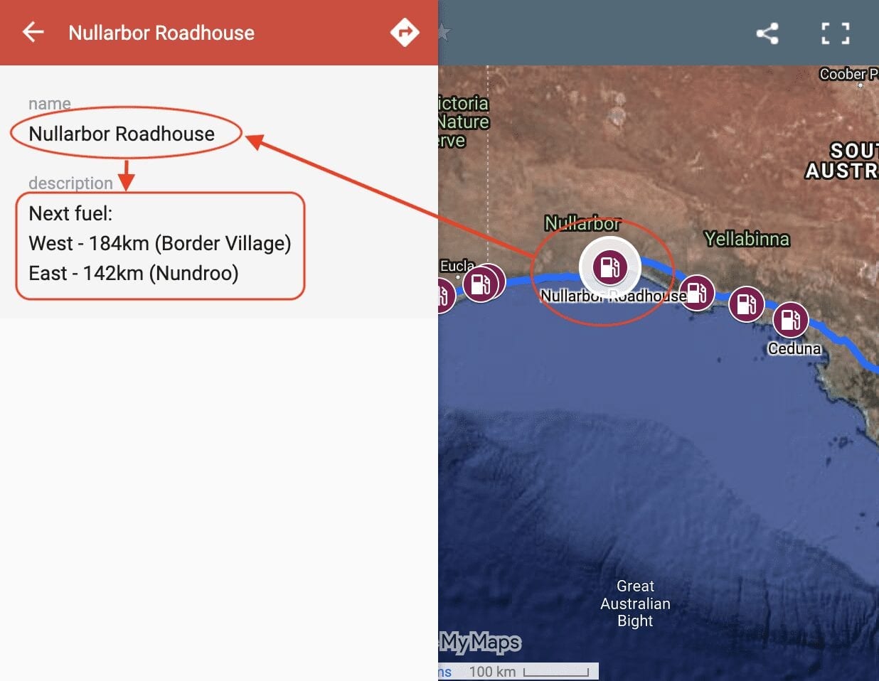
So where you can get fuel on the Nullarbor? Our Interactive Map of fuel stops across the Nullarbor will give you all the info you need.
ANSWER:
Wow Peter, that’s a big jump in fuel consumption in a headwind!
If you allow for the worst case of 23l/100km, with a 65l tank and allowing for say 10 litres remaining in the tank, then by my calculations you’ll get (65-10)/23 x 100 = 240 km.
Your 20 litres in the jerry cans will give you another 20/23 x 100 = 85km.
So all up, you’ll get 325km. Of course this assumes you are battling a fierce headwind the whole way… not unheard of on the Nullarbor!
The longest stretch between fuel stops is about 190km between Balladonia and Norseman. So assuming the worst case of 23l/100km, you’ll easily make this stretch.
Remember, it’s extremely unlikely you’ll get a sustained gale the entire way, especially since you’ll be coming into trees and ranges around Fraser Range. Having said this, the ranges might knock your fuel consumption up a bit.
The other tip is when you get to Balladonia, check out the forecast and ask people coming from the west about the wind. If a gale is predicted, stay in Balladonia for a day or two and wait until it subsides.
Hope this helps!
Regards,
Andrew
Join in… write your own page!
Simply click here to go back to the Questions page and fill out the form!
Comments for: How Far Apart Are Fuel Stops On The Nullarbor?
Add your comments below.

