
Gary Junction Road Camping Spots. The Best Places to Camp
Note: This article contains an affiliate link to Camera House. If you click through and make a purchase, we earn a small commission at no extra cost to you.
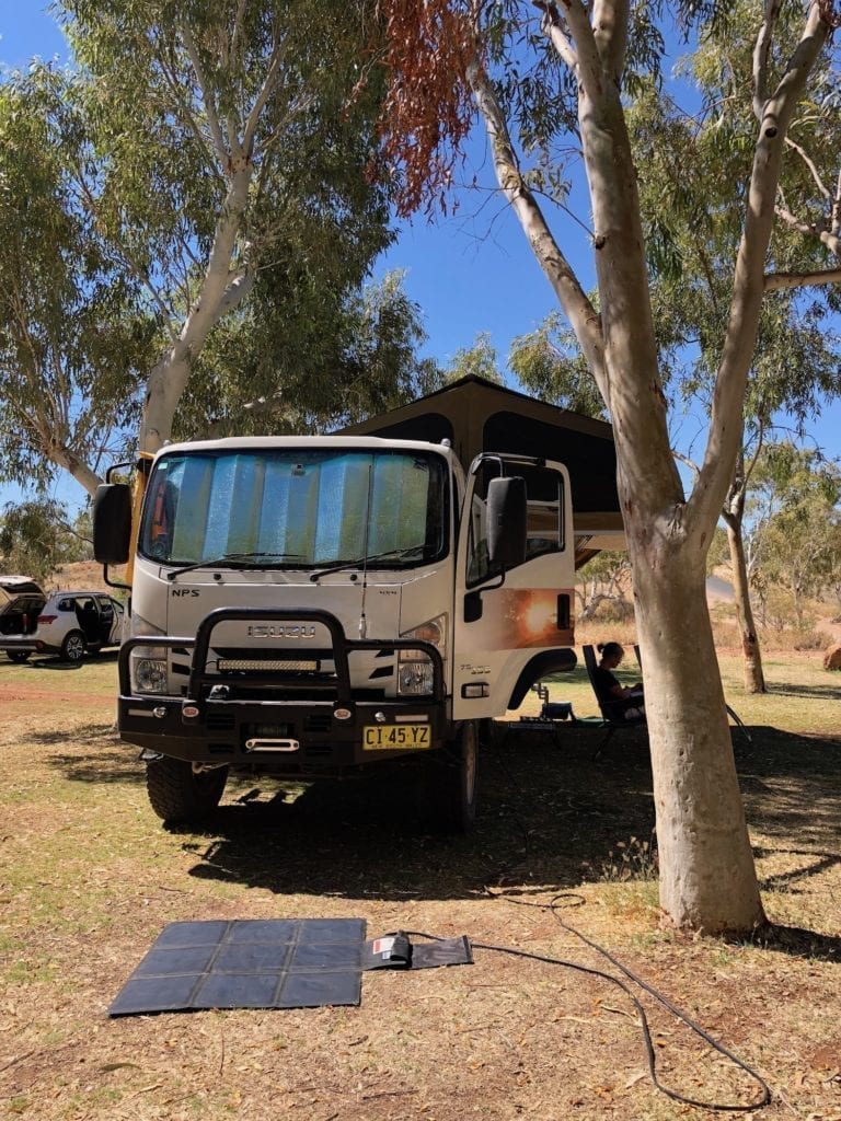
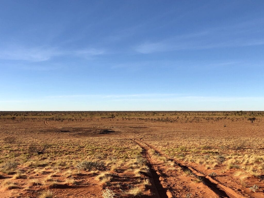
When you’re planning a trip along the Gary Junction Road, finding information on where to camp can be difficult. We’ll run you through the places we camped and a couple we know of, but didn’t camp at.
We’ve included camp sites all the way through to Marble Bar, since we travelled this way.
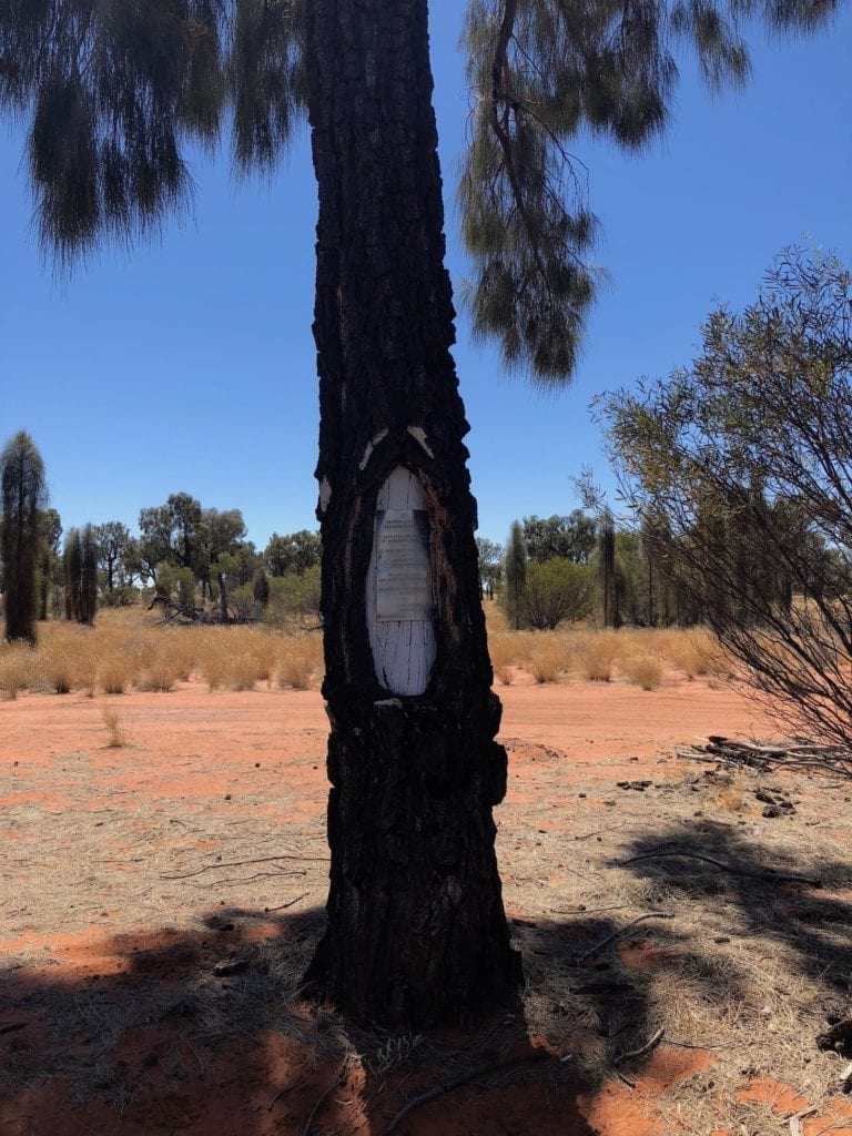
Len Beadell Marker, Warren Creek NT
GPS Co-ordinates: 23°17’55″S, 131°07’46″E
After passing Papunya and Mt Liebig, you’ll come to a Len Beadell marker on the left hand side of the road after Warren Creek. On some maps, it’s marked as the Liebig Bore Plaque.
There’s a track beside the marker, leading to a bore with a water pump and tank. This is not for public use, so please do the right thing and don’t use the water.
You’ll find plenty of space to camp here overnight. It’s about 50 metres off the road and quite private. There are some small trees for shade.
You will need to be completely self-contained and take your rubbish with you.
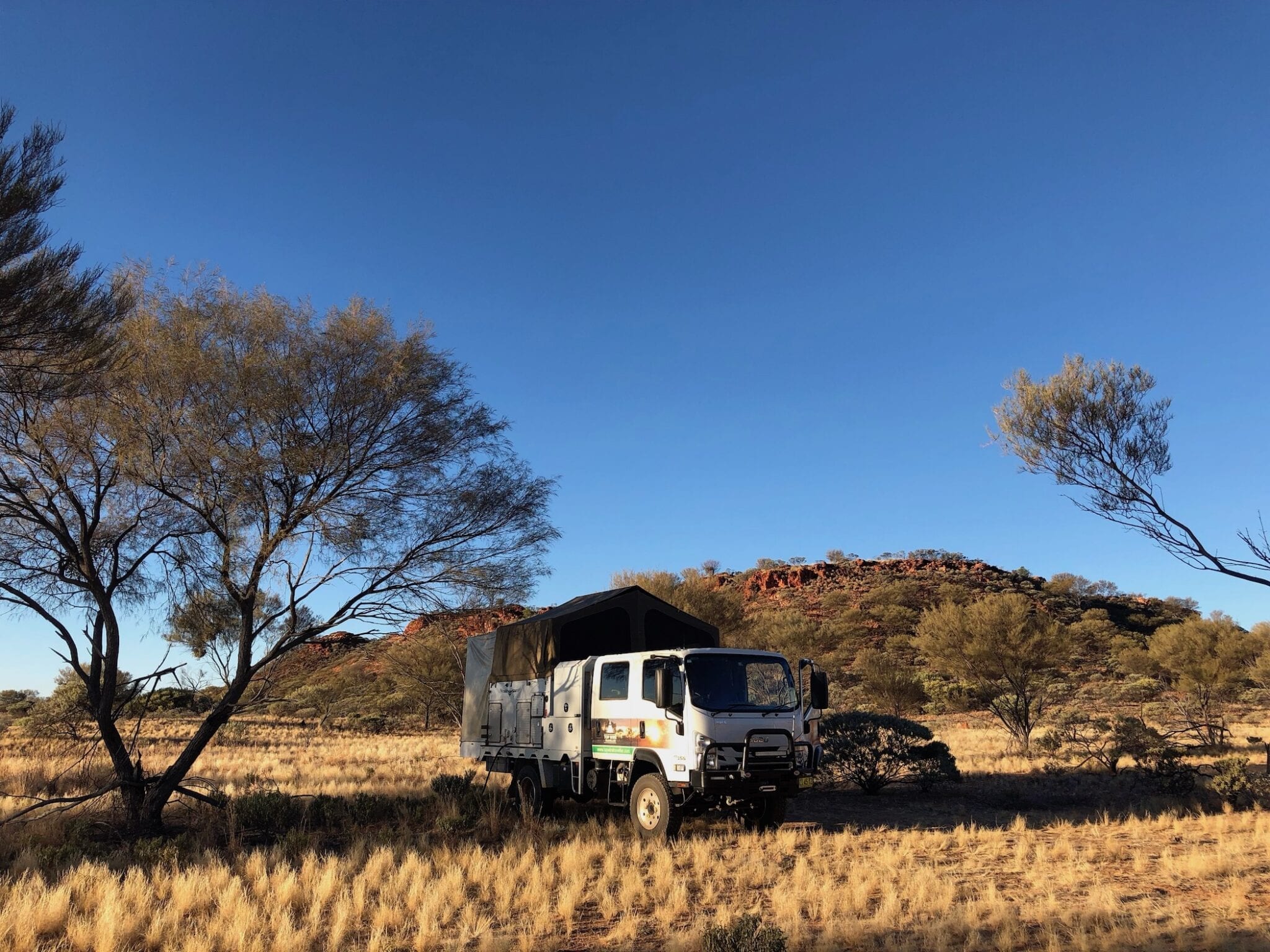
Buck Hills, WA
GPS Co-ordinates: 23°09’11″S, 128°53’48″E
After passing Kintore and about 10km after crossing the NT/WA border, you’ll reach Buck Hills. As you appoach a few large hills on top of a rise, you’ll see a track leading off to the right. An exposed camping spot sits between the road and the base of the nearest hill. This is not particularly inviting and really exposed.
However, a track leads off to the left and follows the nearest hill around in a clockwise direction. Follow this and keep going until you’re around the back of the hill. In here, you’ll find some excellent camping spots.
Be a bit careful here. The ground appears to be rock-hard. However once you break through the thin top skin, the soil is loamy and powdery. Your vehicle will dig in before you know what’s happened if you’re not careful.
There’s not much shade, but the scenery is unbelievable. Red, ancient crumbling hills with vast plains as a backdrop. And the night sky runs from horizon to horizon, interrupted only by the silhouettes of the hills.
One of our all-time favourite camping spots.
You will need to be completely self-contained and take your rubbish with you.
Jupiter Well, WA
GPS Co-ordinates: 22°52’33″S, 126°35’46″E
Leaving Buck Hills you’ll go past Kiwirrkurra then on to Jupiter Well. Two white 44 gallon drum signify the track into the campsite on your right. Quite a few large desert oaks give plenty of shade.
While you’re not far off the road, the road is so quiet that this doesn’t really matter. We had just one vehicle go past during our mid-afternoon/overnight stay. You can go further back off the road if need be.
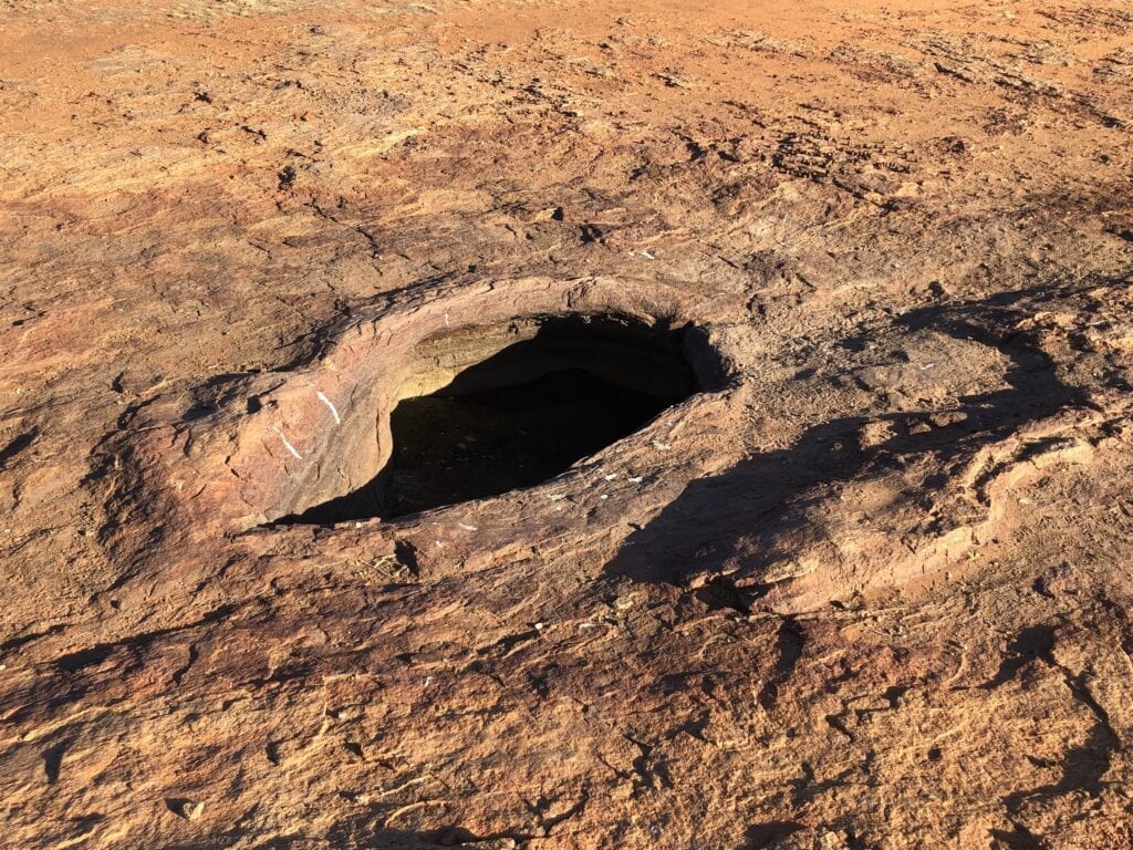
The old well is about 200m down a track off to the left of the main road. A signpost points you in the right direction. This is worth a look.
Back at the campground, another well has been sunk and a hand pump brings water to the surface. Surprisingly, the water tastes quite good.
Top up the drum under the hand pump, the galahs use it to get their afternoon drink. And like everything galahs do, this process is full of noise, theatrics and drama. Most entertaining!
You will need to be completely self-contained and take your rubbish with you.
Punmu, WA
Punmu GPS Co-ordinates: 22°02’40″S, 123°08’47″E
Leaving Jupiter Well, you’ll reach Gary Junction. This is where the Gary Highway meets Gary Junction Road. Camping is possible here, however it is really exposed.
Gary Junction GPS Co-ordinates: 22°30’38″S, 125°15’53″E
At this point your Gary Junction Road trek is complete. However, read on if you’re continuing to Marble Bar.
We camped at Punmu after crossing over the Canning Stock Route, then passing the community of Kunawarritji.
We drove into Punmu and eventually found the shop. There, the lady directed us to the office where we asked for John. He is the man to speak to about fuel and camping.
John directed us to the fuel bowser. After a while he showed up on his ATV, larger than life and a real character. Camping is back down the road about 4km beside the Ranger’s house.
The campground is really exposed. However the upside is hot showers and flushing toilets. After a hot afternoon hiding in the shade of our truck, we relaxed under the stars once again.
Telfer Gold Mine
A note on Telfer Gold Mine.
There is no fuel or accommodation available here. And you are not allowed to enter the site unless you have received prior approval. This is understandable, since it’s a working mine site.
Carawine Gorge
GPS Co-ordinates: 21°29’17″S, 121°02’11″E
Carawine Gorge is after the end of Telfer Mine Road, off Ripon Hills Road. This is so good, we’ve written a separate article on Carawine Gorge.
In summary though, Carawine Gorge is absolutely magnificent. It’s a must-see destination. An imposing cliff face is a perfect backdrop to a large body of water. You can swim and kayak here, plus gum trees provide lots of shade.
Carawine Gorge is an ideal place to wash off the dirt and recover after your trek across the desert.
You will need to be completely self-contained and take your rubbish with you.
Marble Bar
Once at Marble Bar, the obvious place to stay is at the caravan park. They have lots of shade and green grass! The amenities are basic but clean and functional.
Note you’re not allowed to camp out of town at the marble (jasper) bar.
Other Campsites
Here’s a selection of other campsites along The Gary Junction Road, including the trip to Marble Bar from Gary Junction.
We didn’t stay at these, so we can’t vouch for them. They may however be helpful when you’re planning your trip.
Willie Rockhole
GPS Co-ordinates: 23°16’02″S, 129°45’35″E
The turnoff to Willie Rockhole is about 22km before the turnoff to Kintore (east of Kintore). A track runs off the road to your left towrads Willie Rockhole.
Mick and Karen Schoevers kindly sent some photos and information on Willie Rockhole. They said, “We camped at Willie rockhole, which at that time had a tiny amount of muddy water in one of the holes. So we camped on the other side of the dunes to allow any animals who wanted to drink, (access to the water) without being concerned by us”.
Thanks for the brilliant photos Mick and Karen! And a great commonsense tip about camping away from the rockhole.
Len Beadell Marker Tree, East of Jupiter Well
GPS Co-ordinates: 22°48’28″S, 126°44’13″E
17km east of Jupiter Well, you’ll see a track running off to the left. Following this for about 500m and you’ll come to a tree with a Len Beadell plaque. This was beside the original Gary Junction Road.
Camping is possible here. It’s well off the road and secluded.
Lake Auld
GPS Co-ordinates: 22°07’16″S, 123°45’36″E
72km east of Punmu, you’ll pass Lake Auld. You can camp here, although the campsites are really exposed and the white clay makes the sun glare almost unbearably bright.
This could be a good stopover in cooler weather, as you can camp right on the edge of the salt lake. Just remember to bring your sunnies!
The Blue Drum
GPS Co-ordinates: 22°49’28″S, 126°06’50″E
Roughly halfway between Jupiter Well and Gary Junction, the Blue Drum is a roadside stop. Not surprisingly, there’s a blue drum on the right hand side of the road.
It’s an open area with the occasional tree. It looks pretty exposed, but might be a handy stopover if you’re caught out late afternoon.
Veteran’s Retreat
GPS Co-ordinates: 21°15’59″S, 120°27’17″E
75km east of Marble Bar on Ripon Hills Road, you’ll see a sign to Veteran’s Retreat off to the left. Set up to cater for veterans from all services, this place is also open to travellers for a small fee of course.
By all accounts this is a good place to stay.
In Summary
So there you have it. A selection of places to camp along the Gary Junction Road and beyond to Marble Bar.
Be respectful of the country. Take all your rubbish with you and don’t just camp anywhere along the road.
You really can’t go wrong along the Gary Junction Road. Camping along here is fantastic, so peaceful and remote. Enjoy!
Gary Junction Road runs through Luritja, Pintupi and Mardu Country. We also travelled through Nyangumarda and Nyamal Country.

Get your Traveller’s Guides
… and a whole lot more at our FREE RESOURCES Page!
Any questions or comments? Go to the Comments below or join us on Pinterest, Facebook or YouTube.
Any errors or omissions are mine alone.
Looking for more Western Australian Destinations? Then go here.