Gary Junction to Marble Bar – A New Adventure
Note: This article contains affiliate links to TourRadar & Camera House. If you click through and make a purchase, we earn a small commission at no extra cost to you.
You might think your trip’s over once you reach Gary Junction. If you’ve followed the Gary Junction Road from Alice Springs, you’ll discover it just sort of fizzles out at Gary Junction.
This can lead to a confused moment where you stand at the intersection scratching your head and thinking, “Where to now?”
You could turn left onto the Gary Highway. The word “Highway” conjures up images of a tar road stretching into the distance. Or at least a well-formed dirt road, like the Tanami Road… or even the Gary Junction Road.
The truth is, it’s a track. A rough track through hundreds of kilometres of desert. If this is your thing and you’re well prepared then go for it.
The other option is to continue west. The road looks the same as the Gary Junction Road, but it’s not. It changes name and becomes Jenkins Track. Ah who cares? What’s in a name?
Jenkins Track changes names about another six hundred times before depositing you into the hottest town in Oz, Marble Bar.
Along the way, you’ll be treated to some extraordinary scenery. And I hope your brought your swimmers and kayak. More on this another time.
A Long Way from Anywhere
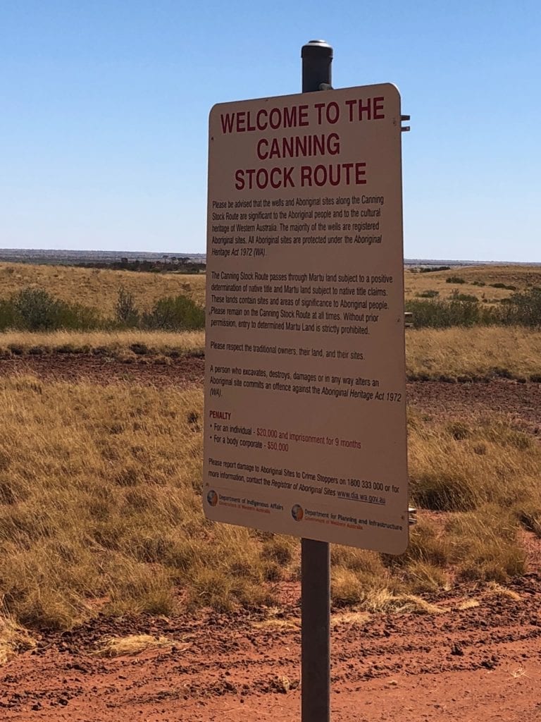
Just on 65km west of Gary Junction, you’ll encounter the Canning Stock Route. Confusingly, Jenkins Track has a sign a few kays from the Canning telling you that you’re on the Canning Stock Route!
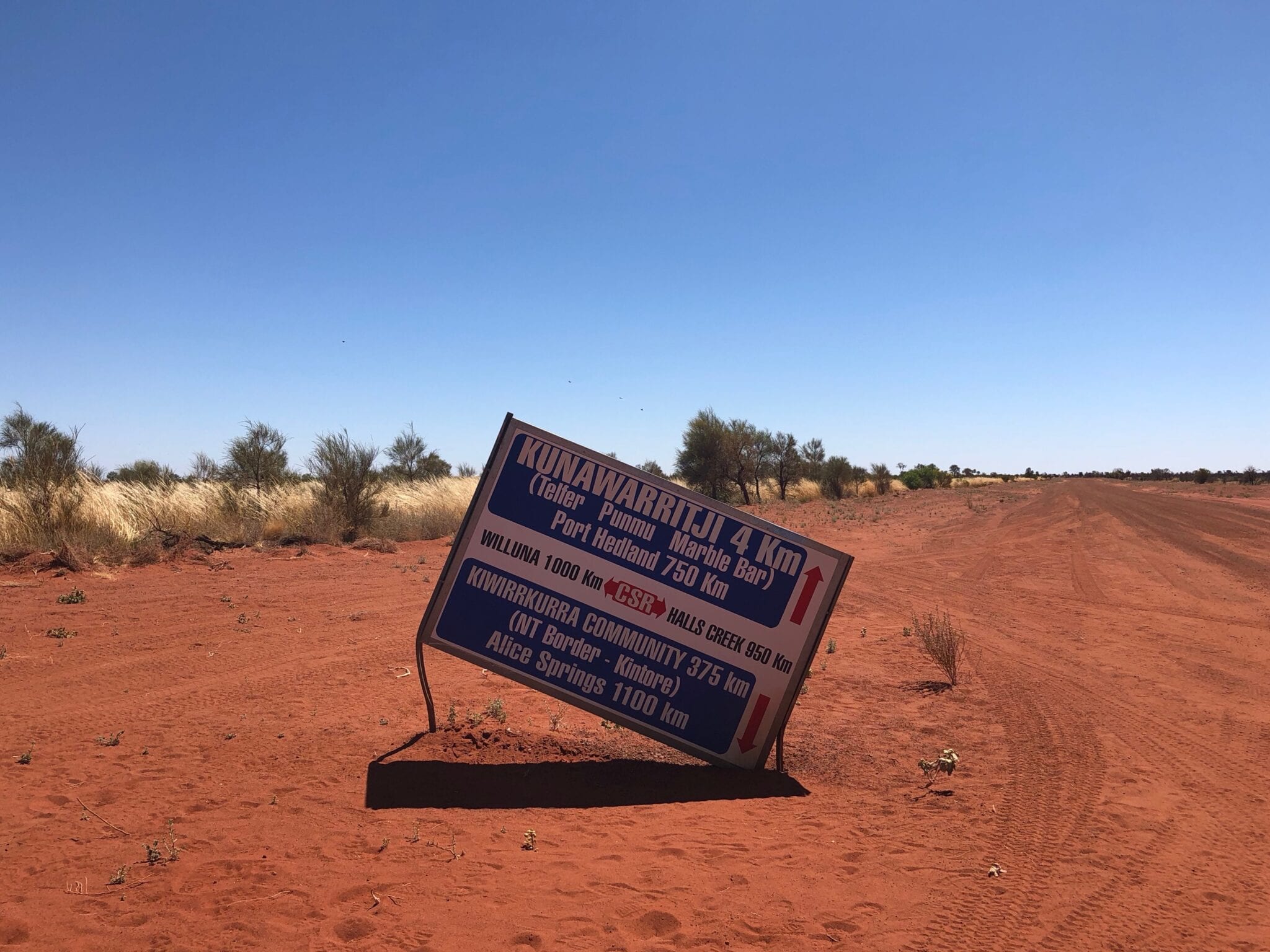
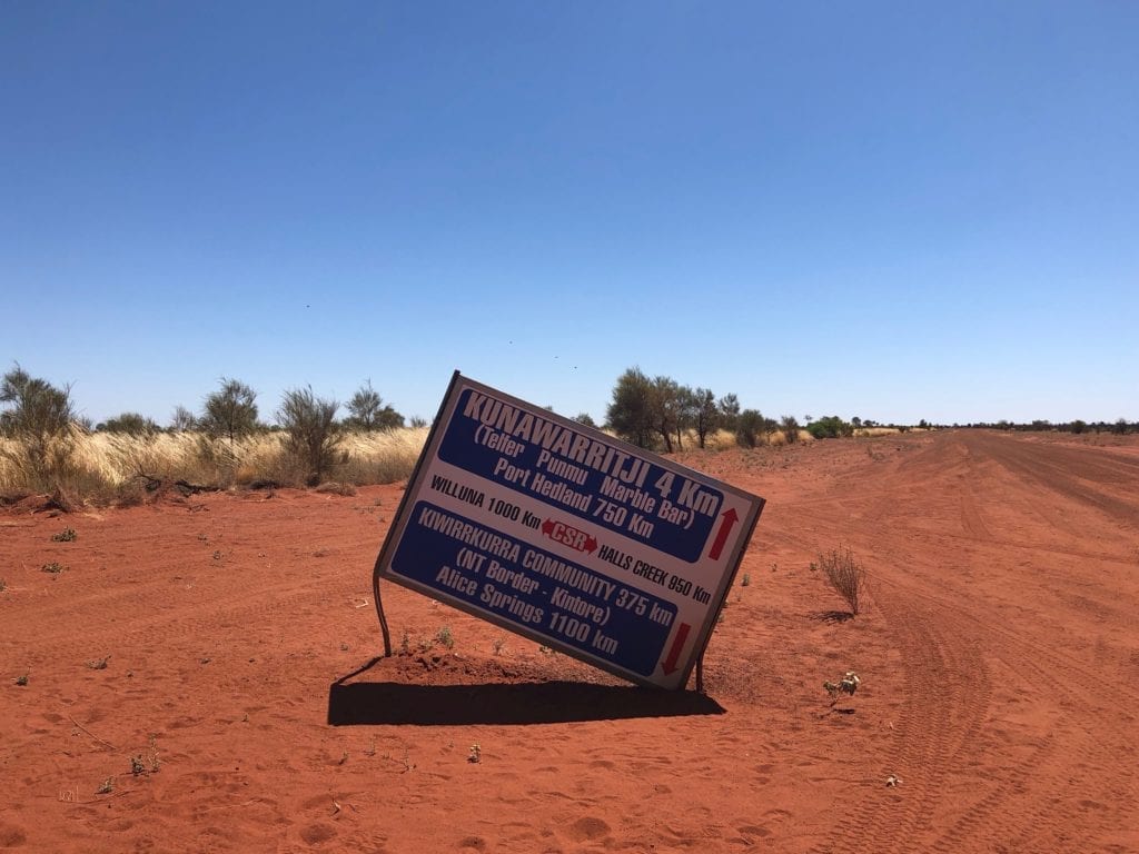
A sign at the intersection gives you an idea of just how remote this part of Australia is. 1,000km south to Wiluna or 950km north to Halls Creek via the Canning, 1,100km back to Alice Springs or 750km onwards to Port Hedland. Whichever way you choose, they’re big distances.
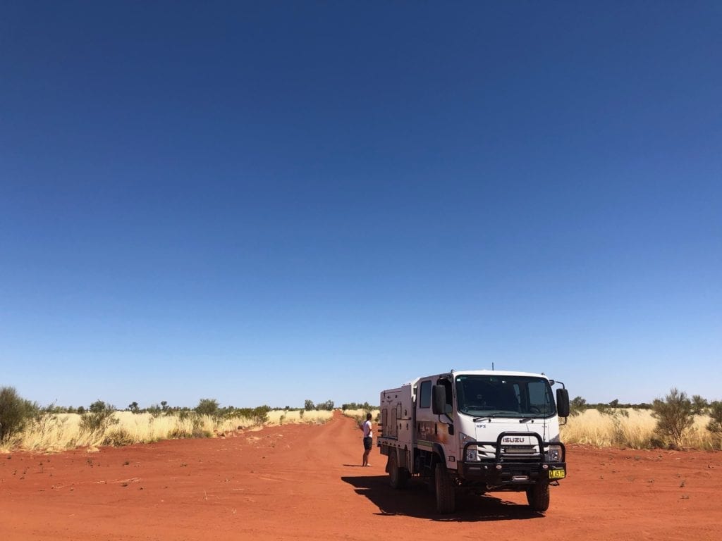
Just up the road is the community of Kunaarritji. They have basic supplies and fuel.
Oh and the road gets a new name, Wapet Road. And if you really want to impress your mates, Wapet Road is also known as Kidson Track. What’s with all of these names?
Lake Auld appears after following Wapet Road for about 115km. It’s a large salt lake and would be a good spot to camp in cooler weather. We had a hot and windy day, and would have been smashed by the sun and the hot wind. There’s really no shelter to speak of. So we decided to press on.
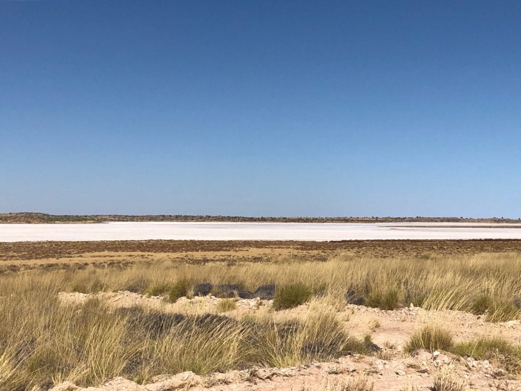
At Lake Auld you can turn left and follow Wapet Road/Kidson Track north-west. It takes you all the way to the Great Northern Highway on the coast. Be warned though, this track is apparently overgrown. In fact, a sign at the turnoff warns you of this. We took the left turn towards Punmu.

At this point, the road becomes the Telfer Mine Road.
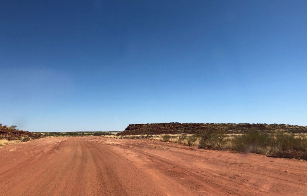
You’re well into the Great Sandy Desert by now. Tall sand dunes are a constant companion and you just begin to see glimpses of classic Pilbara-like country. The odd deep red rocky outcrop begins to show among the sand, with those strange flat tops.
Into Karlamilyi (Rudall River) National Park
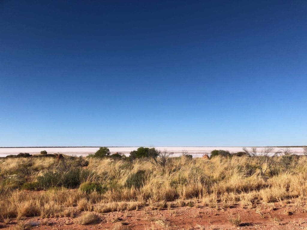
Punmu sits on the edge of Lake Dora, another enormous saltwater lake. This in turn is within Karlamilyi (Rudall River) National Park. This is the largest national park in Western Australia, a massive 1.3 million hectares, and is on Martu Country.
We camped at Punmu and headed off again the next morning.
We caught glimpses of Lake Dora. It’s pretty impressive, stretching to the horizon.
White Rock and Corrugations
Since we’d left Alice Springs, the road had been in really good condition. However the 216km stretch from Punmu east to Telfer Gold Mine was terrible. A grader had just started when we drove through. So the first 10km were good. But the remainder was terrible.
You see, the country changes after Punmu. There are still sand dunes. However between the sand dunes you’re driving on horrible white, rocky clay soil. And it’s rough.
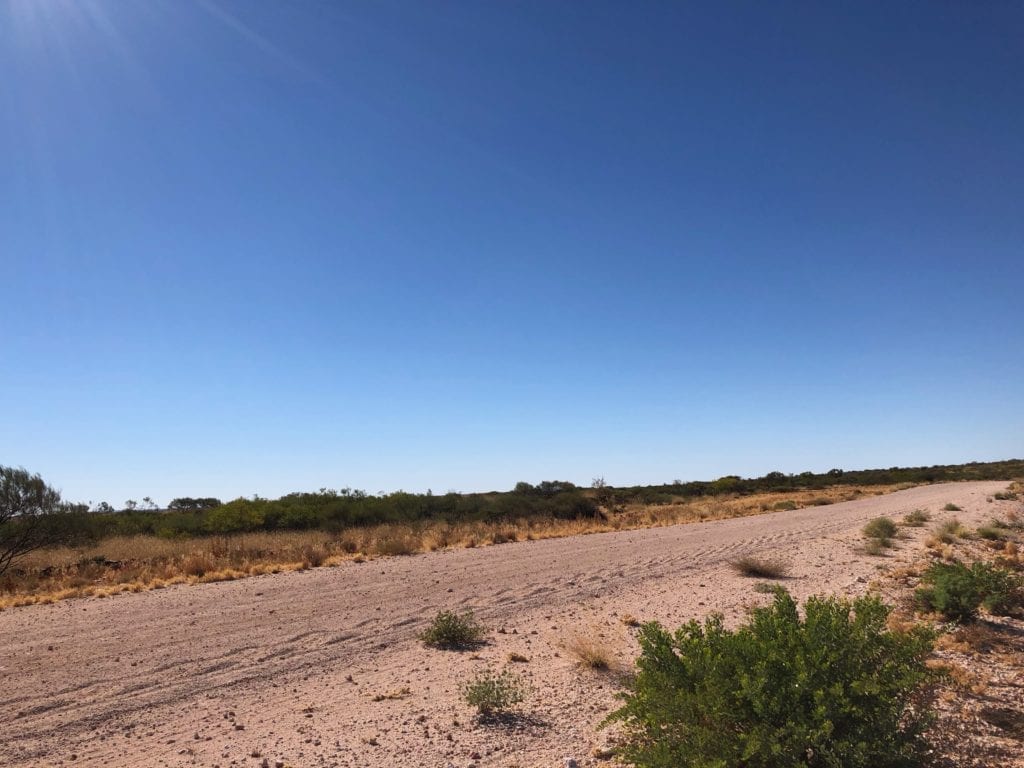
Expect massive corrugations, reefs of rock across the road, ruts and a couple of enormous car-swallowing holes. One bloke at Punmu had warned us about this road. He had snapped the driving lights off his 4WD only a few days earlier along this stretch.
Then again, after nearly 1,200km of good road from Alice Springs to Punmu, we couldn’t really complain.
A Typical Mine Road
We passed the giant Telfer Gold Mine off to the left in the distance. Once we had skirted around this, we came to a Stop sign!
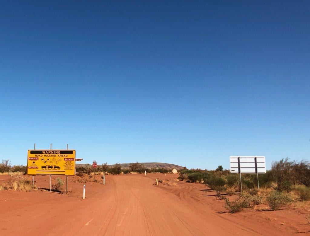
This is the mine access road from Telfer Gold Mine to Marble Bar. As expected, it was wide and well maintained. In fact there’s even a long stretch of tar.
The countryside continued to flatten and the sand dunes were giving way to ancient hills of iron ore. We crossed over the invisible boundary between the Great Sandy Desert and the Pilbara as we weaved through the Gregory Range.
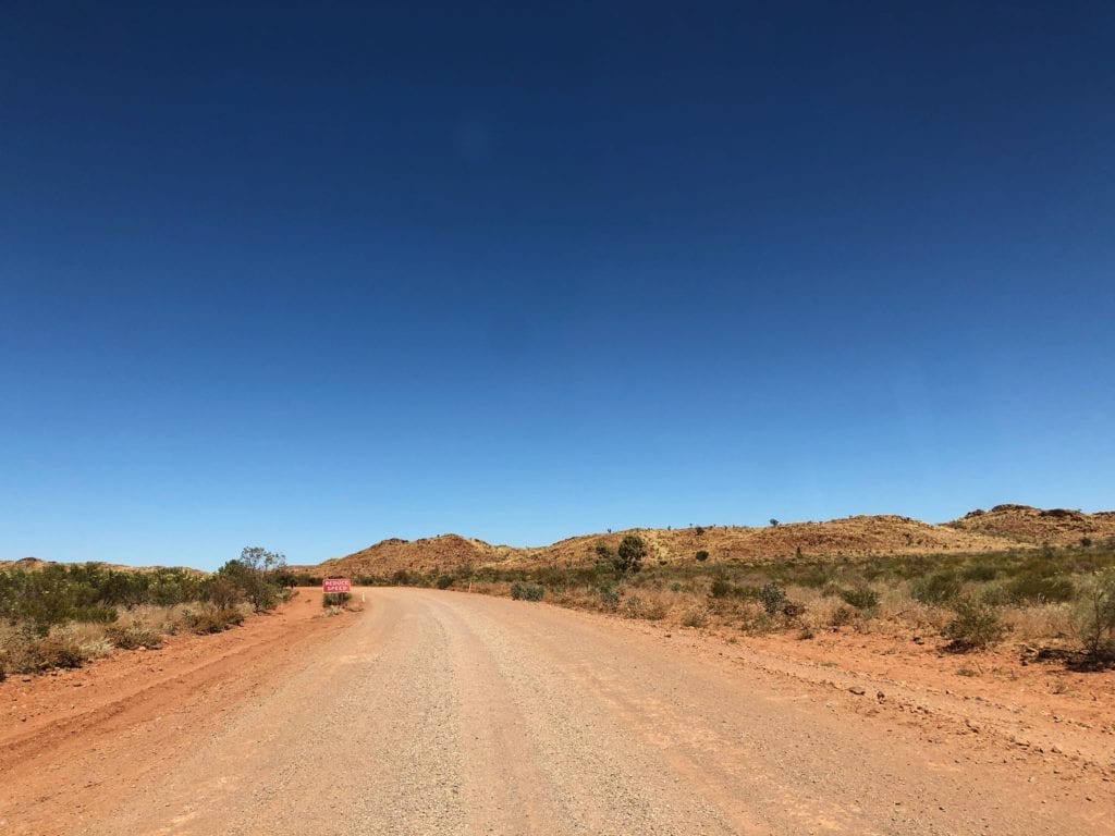
Once out of the Gregory Range, we came to Ripon Hills Road. This was a real tar road, the first we’d seen since leaving Alice Springs. White centre lines, fog lines and even marker posts!
We actually turned left towards Carawine Gorge, where we swam and paddled our kayak. This however, is a story for another time.
Roadtrains and Hills
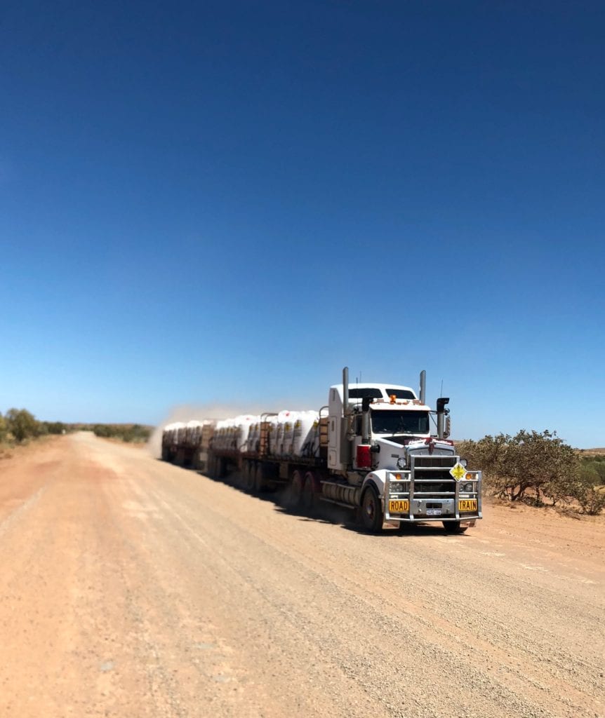
The Ripon Hills Road provides access to Woodie Woodie Manganese Mine. A continuous procession of quad road trains haul ore 400km to Port Hedland. That’s a long round trip…
We were surprised at how steep some of the long drags up the hills were. There are quite a few dead cattle along this road too. Being faced with a cow on the road while steering a roadtrain weighing over 150 tonnes, isn’t something I’d like to experience.
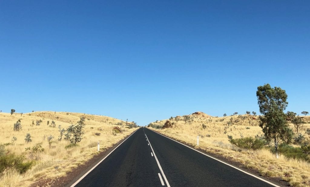
For us the run into Marble Bar was an easy one. The roadtrain drivers will help you overtake safely via the UHF radio and we soaked in the ever-changing scenery. The oceans of spinifex swaying in the wind certainly made for a scenic drive.
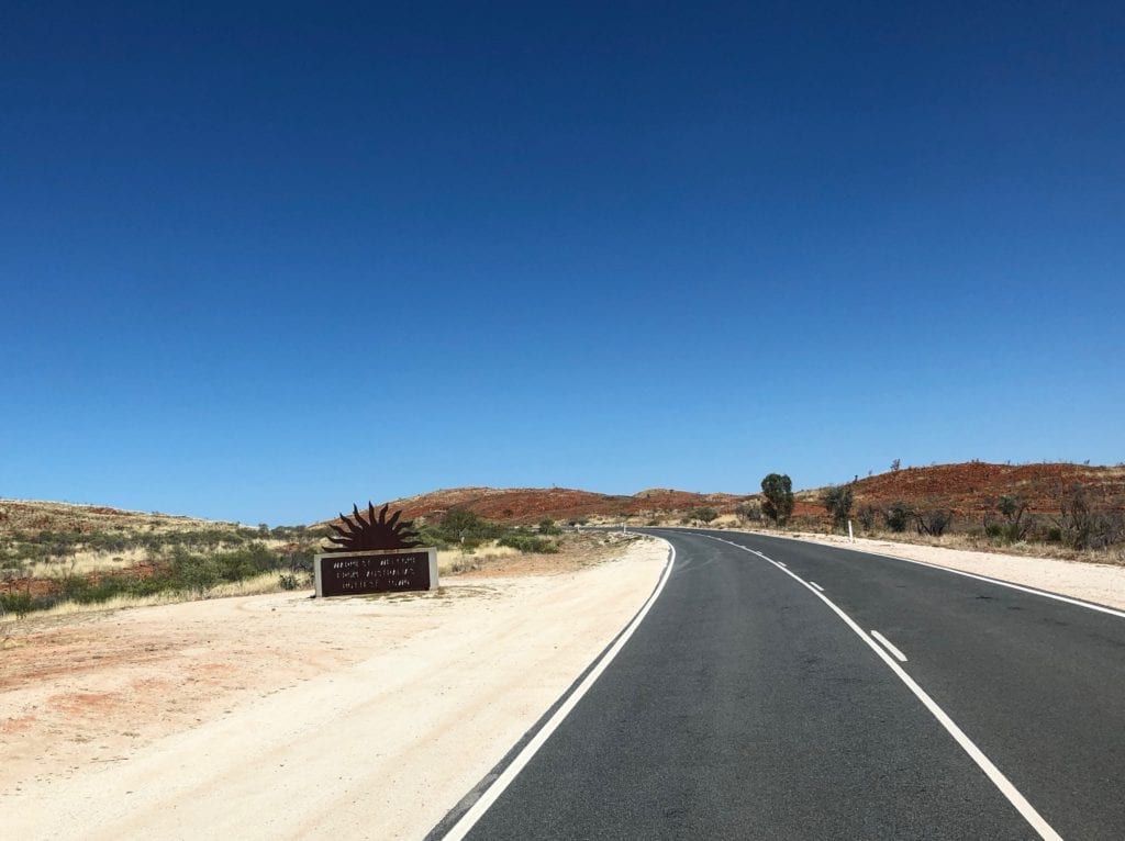
1,688kkm since we left Alice Springs. 1,688km through magical desert country, full of life and colour.
The Colours of Marble Bar
You’re probably aware that Marble Bar claims to be the hottest town in Australia. And who am I to argue? Stifling summers and warm winters are the order of the day here.
So I had an image of a dry, dusty town with no shade and just a few hardy souls battling the elements.
And boy was I wrong…
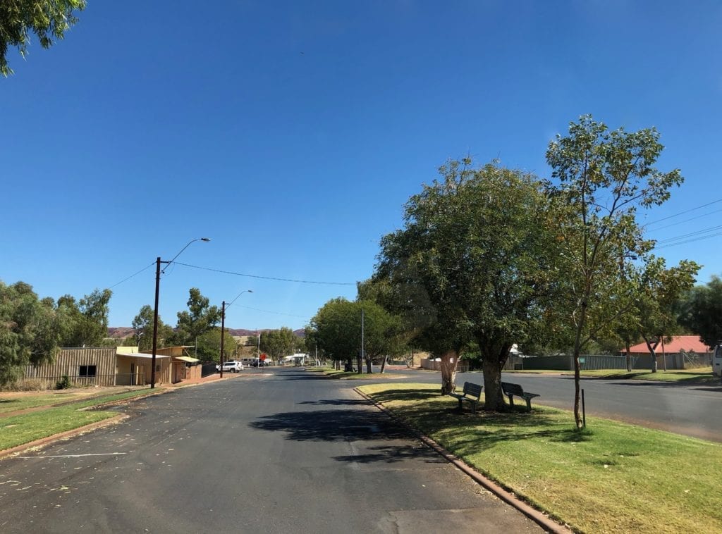
Green grass, trees, neat buildings. Not what I was expecting at all. The caravan park has green grass and lots of shade. It’s a great little town, friendly and clean.
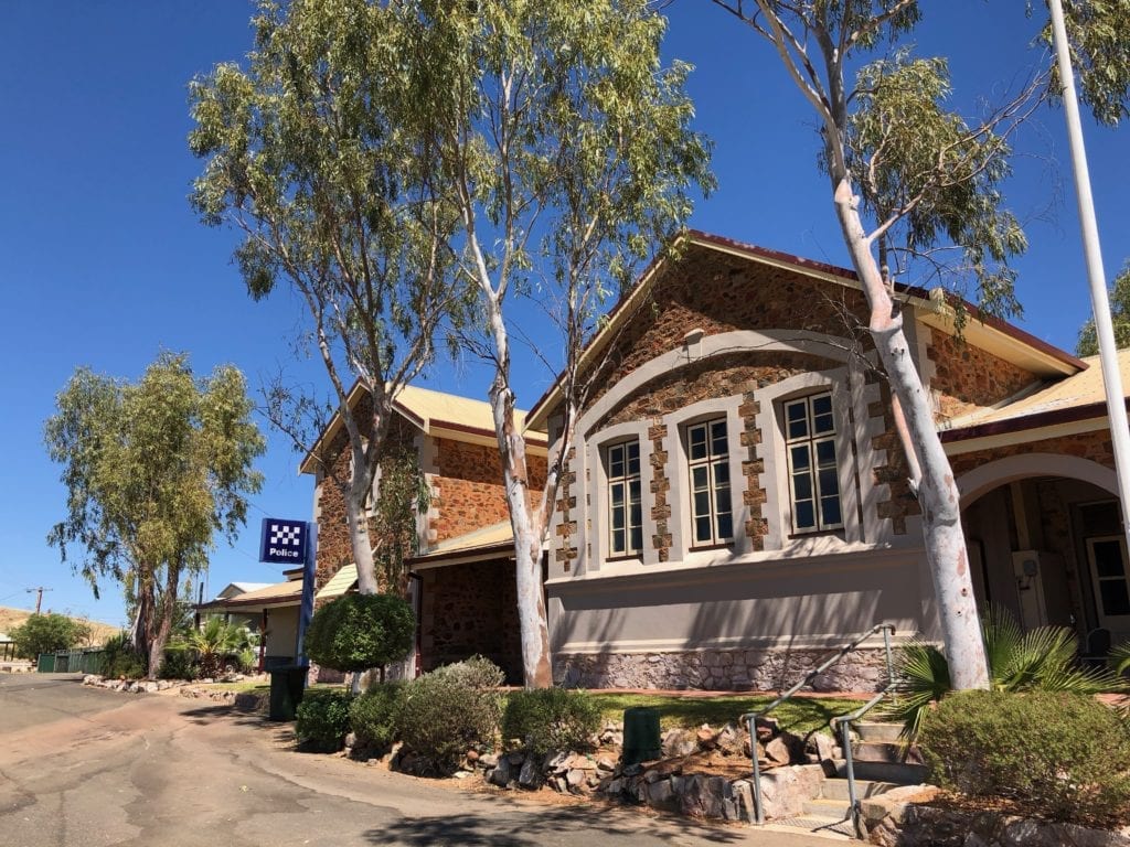
Mind you, a series of photos in the Visitors Centre show what this place was like in the early days. Tin sheds and canvas humpies were exposed to the blazing sun day after day. Not my idea of paradise.
And make sure you visit the marble bar across the Coongan River. It’s just out of town and is actually jasper, originally mistaken for marble. Every colour is on display here. The river has cut through the bar and polished the rock.
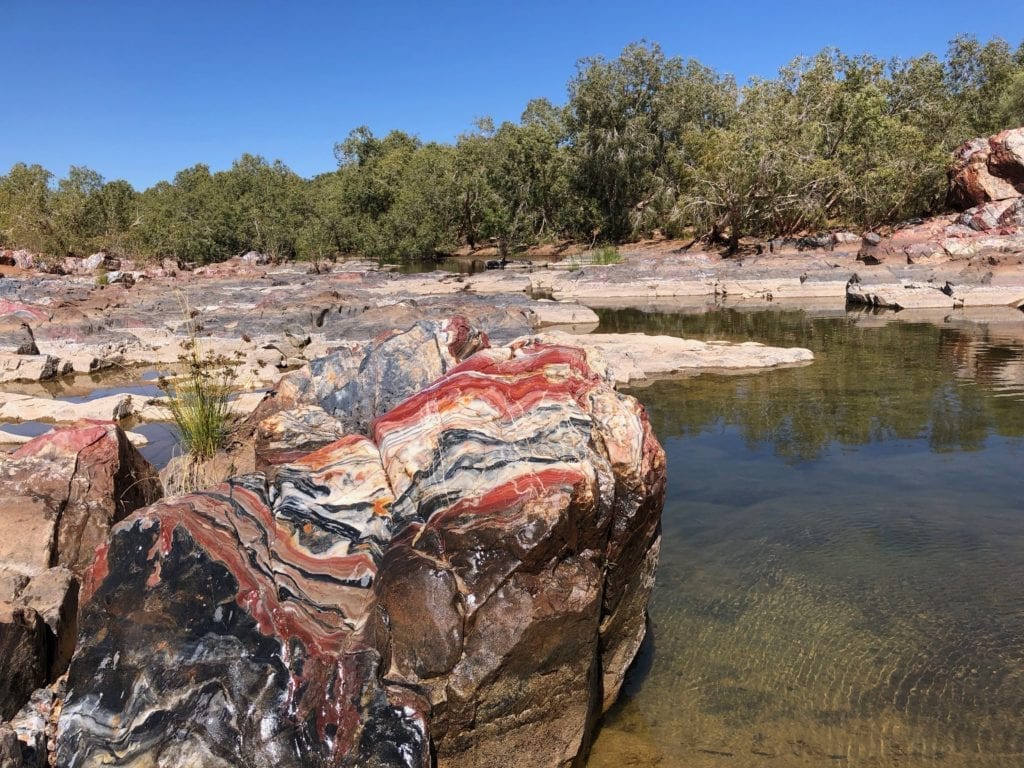
Someone had told us to splash the rock with water, as it brings out the colours. And they were right. Once wet, the colours leap out at you. This natural wonder is worth a visit.
Where to Camp?
From Gary Junction to Marble Bar, there’s quite a few camping spots. The absolute standout is Carawine Gorge, which we’ll cover in a separate article.
Permits, Fuel and Supplies
For more information on permits, fuel and supplies, go here.
In Summary
Once you reach Gary Junction, in some ways a new adventure begins. If you choose to continue onto Marble Bar, you’ll be treated to more fantastic scenery, always changing and always delighting your senses.
What an extraordinary journey.
You can find great deals on adventure tours which include Marble Bar, here on TourRadar.
We travelled through Mardu, Nyangumarda and Nyamal Country.
Get your Traveller’s Guides
… and a whole lot more at our FREE RESOURCES Page!
Any questions or comments? Go to the Comments below or join us on Pinterest, Facebook or YouTube.
Any errors or omissions are mine alone.
Looking for more Western Australian Destinations? Then go here.

