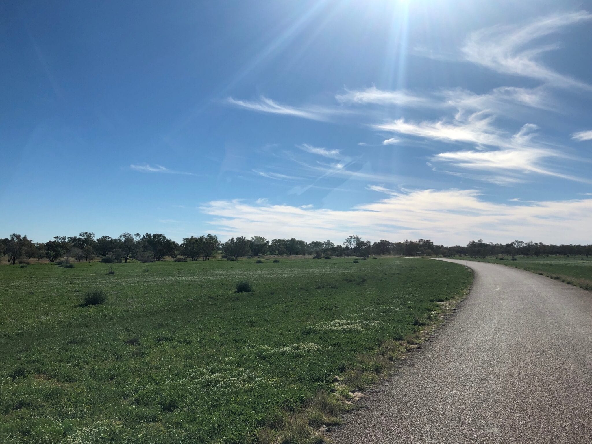
Crossing The Cooper Creek QLD Floodplain, East Of Windorah
Note: This article contains an affiliate link to Camera House. If you click through and make a purchase, we earn a small commission at no extra cost to you.
We were making our way from Cameron Corner NSW to the start of the Sandover Highway, north of Urandangie.
As soon as we crossed the border from NSW into QLD, we started to see evidence of recent rain. And the further north we drove, the wetter the country became.
We were there in late May 2019, just a few months after unprecedented record rains in western Queensland. Estimates of up to half a million drowned cattle, give you a feel for the scale of this rain event.
A Sea Of Green
By the time we approached Cooper Creek near Windorah from the east, we wondered if we’d taken a wrong turn and had ended up in The Southern Highlands of NSW!
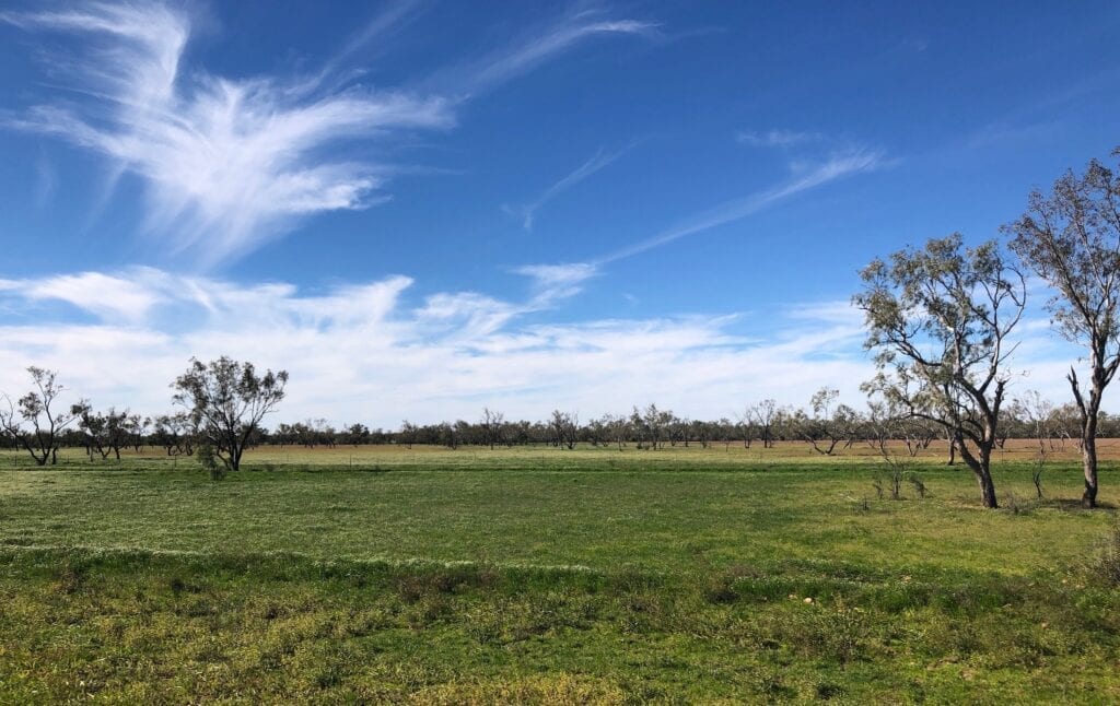
Cooper Creek floodplain was a sea of green swaying grass. The floodplain is about 15km wide here, as you approach Cooper Creek itself. The quantity of water to soak into this parched country then spread itself across the Floodplain is phenomenal.
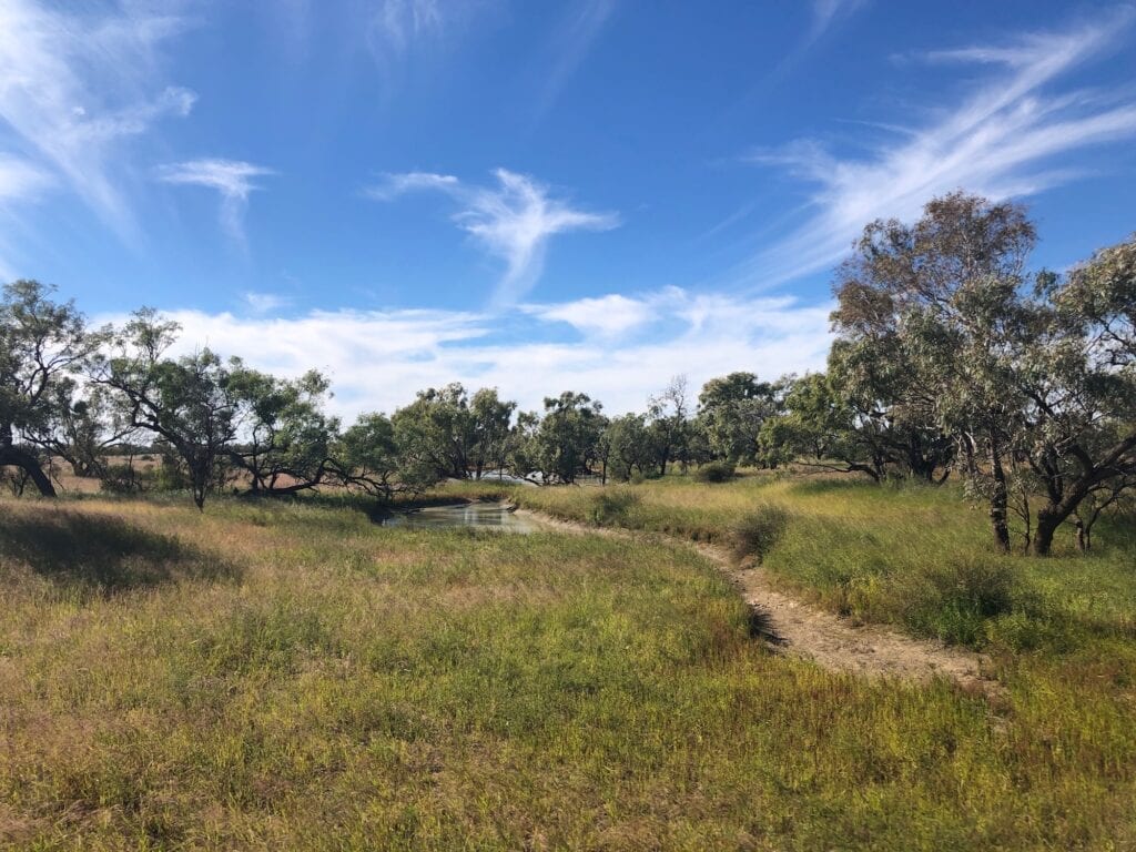
After a flood, you can clearly see where the higher country is.
While the floodplain is a shimmering green, the slightly higher country is dry and barren. We had been through here before and could not believe the contrast. Last time, the country looked parched and forbidding. This time it was a sight for sore eyes!
It’s simply amazing how this country comes to life. Just add water and the landscape transforms.
Camping On Cooper Creek
We decided to camp at Cooper Creek crossing which is 10km or so out of Windorah. Signs of the recent flood were obvious, with the brown flood mark still clearly showing on the trees.
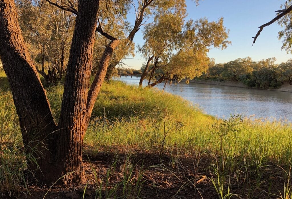
Cooper Creek flows between two tall banks and was probably about 10 metres below the top of the banks when we camped there. Yet the floodwater had been well and truly over the banks. That’s a massive volume of water… especially when you consider how far it spreads on both sides of the main channel.
You really are spoilt for choice here, if you’re looking for a top camping spot. We drove quite a way off the road, following a track along the eastern side of the river. Even though quite a few people were camping here, we had our spot to ourselves.
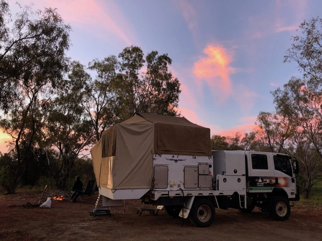
The first part of the track is pretty rough and apparently none of the caravaners were game to take it on. This suited us fine!
You could easily spend a few days here, just relaxing in front of Cooper Creek and watching the bird life doing their thing.
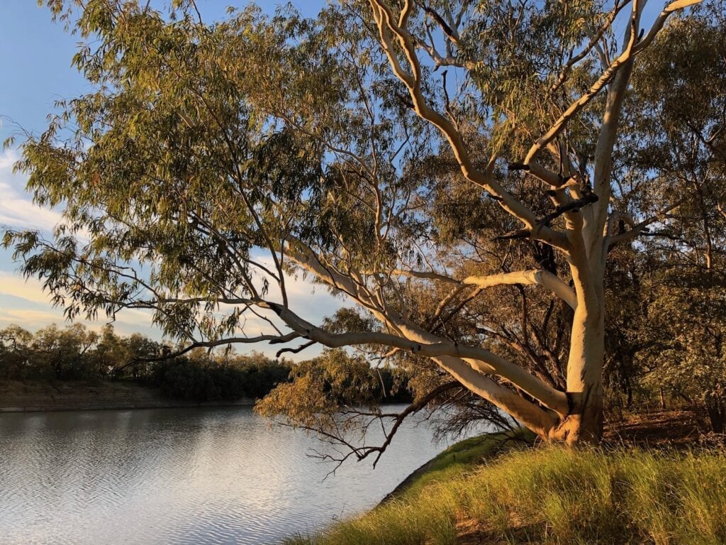
There’s a toilet beside the road but no other facilities. So it’s a proper bush camp in the outback! And with Windorah just up the road, you can easily restock if you run out of food.
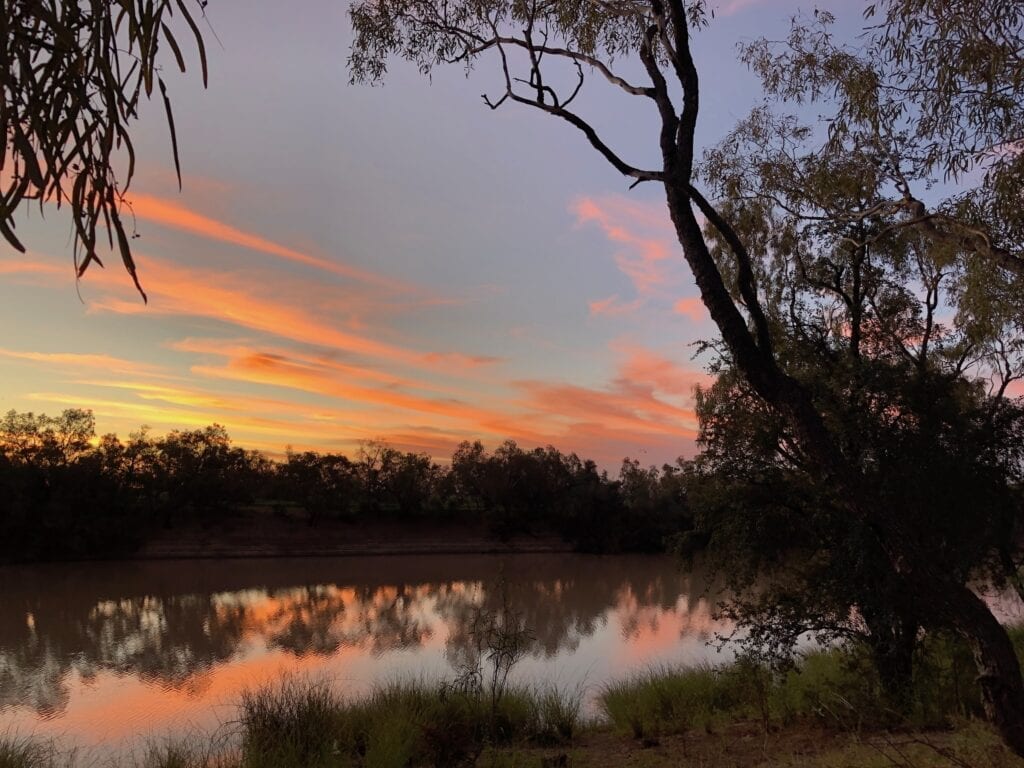
And if you’re wondering why such a large waterway is called a creek and not a river, well you can blame explorer Charles Sturt for this.
By the time Sturt arrived at Cooper Creek in 1845 from Fort Grey, he’d seen just about every type of arid zone waterway imaginable. He’d seen big creeks and billabongs flooding one month then bone dry the next. He been stranded at Depot Glen near Milparinka due to lack of water… forced to drink from a putrid pool of stagnant water.
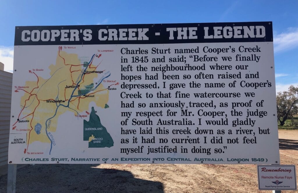
I’m thinking he just couldn’t bring himself to grace yet another unpredictable inland Australian waterway with the title of “river”. Remember, this was the bloke who had brought a boat and two sailors all the way from Adelaide so he could explore his imagined inland sea in comfort!
In Summary
Seeing the Cooper Creek floodplain after a flood is an extraordinary thing to witness. It’s one of those rare sights you won’t forget in a hurry.
And if you want the experience of camping along one of the outback’s iconic rivers, spend a couple of days camping at Cooper Creek. The ideal place to chill out and relax!
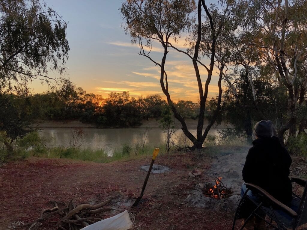
By the way, we camped along Cooper Creek north-east of Innamincka last year… another great spot to experience the outback.
Cooper Creek near Windorah is on Birria Country.
Get your Traveller’s Guides
… and a whole lot more at our FREE RESOURCES Page!
Any questions or comments? Go to the Comments below or join us on Pinterest, Facebook or YouTube.
Any errors or omissions are mine alone.
For more great articles on Outback Queensland destinations, go here.

