

Note: This article contains an affiliate link to Camera House. If you click through and make a purchase, we earn a small commission at no extra cost to you.
The Plenty Highway is an excellent way to lead you into the magnificent Red Centre of Australia. Just be prepared for a rough ride!
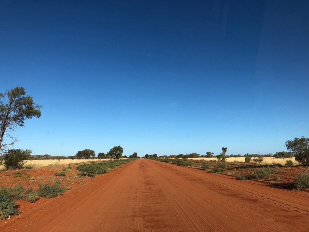
Rough, rocky, sandy, corrugated, bull dust holes. That’s the Plenty Highway summarised in seven words. Is it worth the pain?
If you love solitude, camping under the stars and silence… watching the landscape change from wide open plains to the magnificent Red Centre mountain ranges… then yes, the pain is all worthwhile.
Those famous vistas of Western Queensland and the Northern Territory are on display in all their glory.
Taking On The Plenty
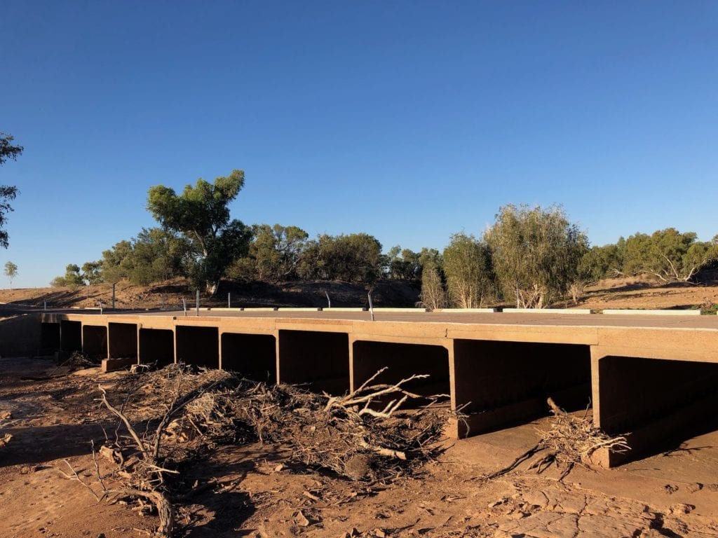
We travelled from Boulia QLD to Alice Springs, NT. To clarify, the highway to the QLD/NT border is called the Donohue Highway. From the border to the West, it becomes the Plenty Highway. Total distance is just over 800km.
And just to confuse you a little more, this journey is a part of the Outback Way… 2,700km from Laverton WA to Winton QLD!
Heading out of Boulia, you’re on tar for quite a while. The Donohue Highway then becomes alternate tar and good gravel sections. Surprisingly, the road to the border was in really good shape.
Once over the border and onto the Plenty Highway, the road varies massively. Some sections are excellent, with hard packed surfaces resembling bitumen.
However, the vast majority of the road was rough. Endless corrugations, long sections of deep sandy bulldust, washouts and deep ruts. The Plenty Highway has it all.
The short sections of good road are welcome, but few and far between.
The Scenery
From Boulia to the border, you’re in plains country. It varies from bare plains devoid of vegetation to more scrubby country as you approach the border.
Once into the Northern Territory, the scenery subtly changes. You gradually move into low ranges, hardly noticeable at first. You’ll start driving along the occasional section of red sand, which becomes more common as you drive West.
The odd creek or river here and there signifies this country really isn’t as flat as it appears to be. Clearly these water courses flow in times of heavy rainfall.
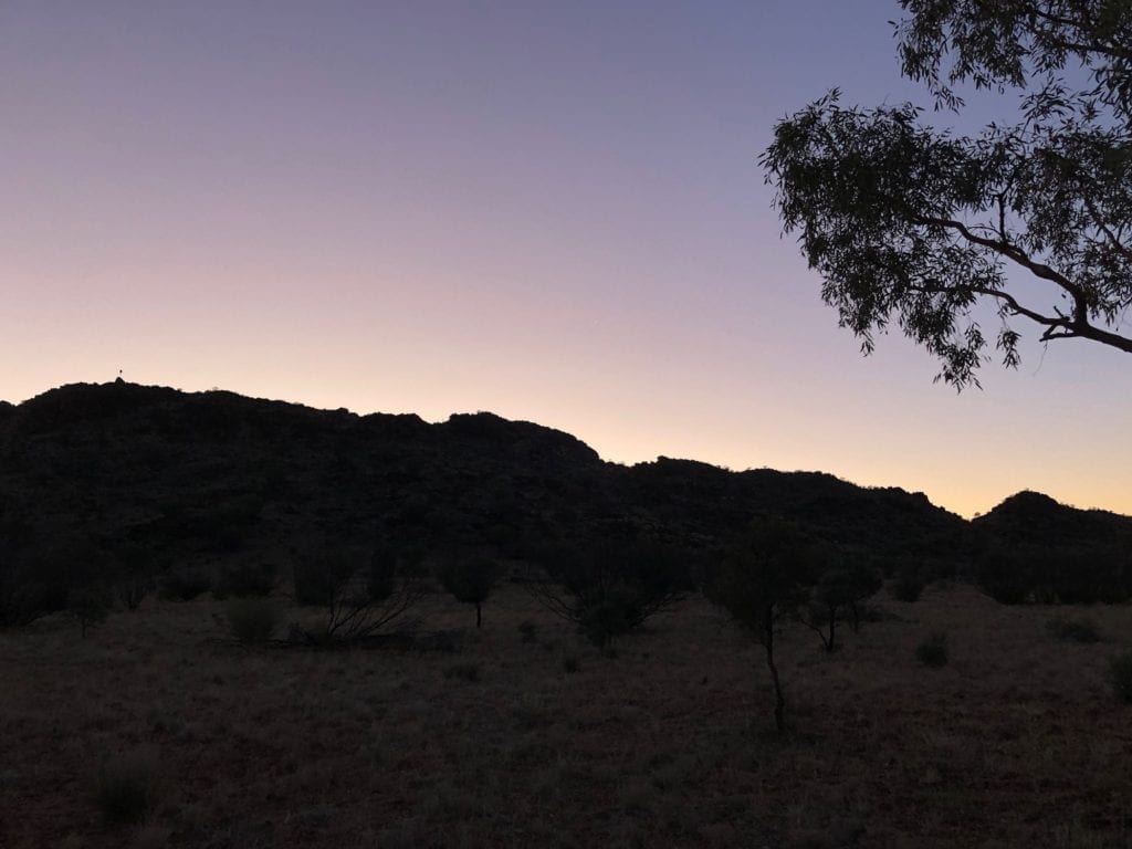
The first real range appears about 300km East of Alice Springs. It’s a strange low black range, home to the Sleeping Lady. This range runs North-South and is really narrow. If we hadn’t decided to camp there, we probably wouldn’t have taken much notice. It appears to be an ancient range of volcanic rock.
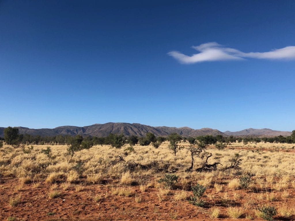
Once past this range, you’ll begin to see Harts Range in the distance. It’s a welcome sight and a stark contrast to the surrounding country. If you decide to turn left and take Binns Track through to the Ross Highway, you’ll see Harts Range up close.
We turned left onto Binns Track, across to the Ross Highway then into Alice Springs. If you choose to go straight ahead instead, you’ll be on bitumen. Call into Gemtree and stay overnight. Then continue along the Plenty until you meet the Stuart Highway.
The bitumen starts just before Atitjere, about 215km East of Alice Springs. There’s still a section of dirt after this. However a road crew was working on this, preparing it for tarring.
Camping Along The Plenty Highway
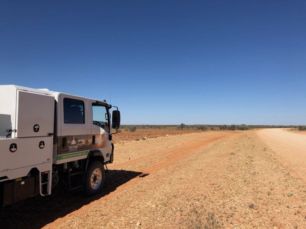
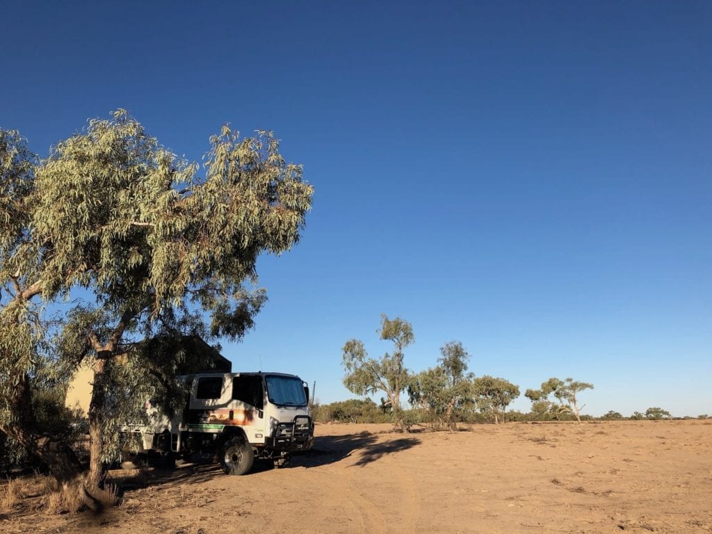
There’s plenty of bush camping. You can pull off the road and set up if you’re self-contained. Just make sure to take all rubbish with you.
We camped on the Georgina River, which is actually on the Donohue Highway in Queensland. While our camping spot resembled the surface of the moon, we loved the solitude and the blanket of stars from horizon to horizon.
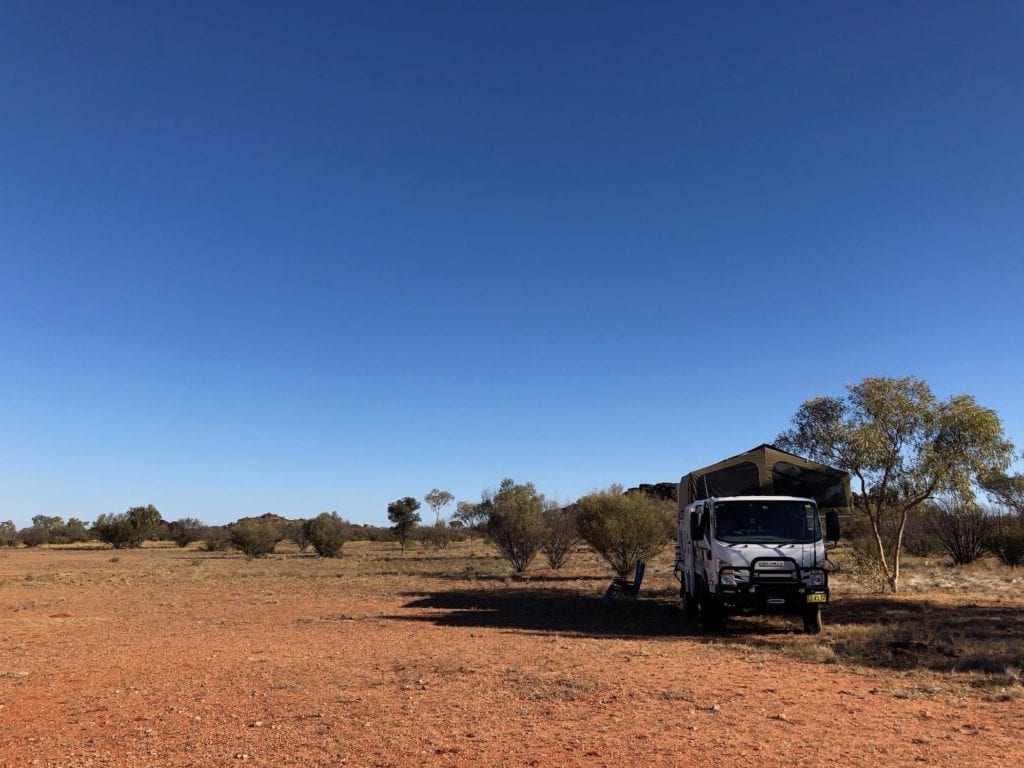
Our next camping spot was in under the low black range I mentioned earlier. This was a surprise, one of my favourite camping spots to date. The solitude and slightly menacing presence of the mysterious black range made this a special place.
Another popular bush camp is Arthur River campsite. You can also stay at Tobermory Station, Jervois Station and Gemtree.
A Slowly Changing Landscape
The Plenty Highway is an excellent way to reach the Red Centre from the East. The landscape slowly and subtly changes as you drive West. From channel country near Boulia, the transformation into the Red Centre is complete by the time you lay eyes on the MacDonnell Ranges near Alice Springs.
Be careful on this road. It can be really rough. Slow down and take your time. Far better to be a little late than not arrive at all!
The Donohue and Plenty Highways are on Pitta-Pitta, Wangkamana, Andegerebenha and Arrernte Country.
Looking for more Northern Territory Destinations? Then go here.

Get your Traveller’s Guides
… and a whole lot more at our FREE RESOURCES Page!
Any questions or comments? Go to the Comments below or join us on Pinterest, Facebook or YouTube.
Any errors or omissions are mine alone.
Surprisingly, the road to the border was in really good shape.?????? really ????? I did this section on Melbourne cup day (this year 2019) and absolutely shredded three tyres with the rocks cutting them to bits, we were down to less than 30kmh in some sections….atrocious rocks…some guys from a station stopped and were great but not surprised we had done three tyres they reckon a road train came in a couple weeks previous and he did sixteen ? we had to borrow a tyre from the lovely people at glenormiston station so a tyre off the camper onto the car and borrow one from them and leave it in boulia guy at Glenormiston station who lent me the tyre just laughed and said he did six tyres on the cattle prime mover the previous week going to and from the stockyards where we did our first tyre….Wonder why Bob at the Min Min store in Boulia has every 4wd tyre known to man in stock??? …………..hmmmmmm……..
Wow, just goes to show how much road conditions can change. Wonder what the deal is with the rocks? We didn’t see anything even remotely like that at all. Then again, the NT side of the Plenty Highway certainly made up for it! Cheers, Andrew
Did this trip in June 2020. The Donahue Hwy was a dream to drive – it will soon be bitumen all the way to Tobermorey, but once over the border into NT the road turned to crap with long stretches of bulldust, corrugations and potholes for the next 150km. It got a little better after Arthur creek towards Jervous station but I was doing about 60kph in a Prado for most of this section. It happily turned to bitumen about 120km west of Jervois Station. All in all, for the 806km trip from Boulia to Alice, only about 150km was crappy to get through.
Thanks for the update Jeffrey. At this rate, it’ll be tar all the way soon!
Cheers, Andrew