Kalgoorlie – A City Built On Gold
Kalgoorlie was born in a gold rush. It has grown and developed alongside the gold mining industry. There’s plenty of history and lots to see, including the famous Super Pit.
But first, what’s with the city’s name… Kalgoorlie or Kalgoorlie-Boulder?
Kalgoorlie or Kalgoorlie-Boulder?
When you visit, you’ll notice constant references to Kalgoorlie-Boulder. So what’s this all about?
Well, Boulder was a separate town until 1989 and encompassed the area on which the Super Pit now stands. In 1989, Kalgoorlie and Boulder were amalgamated to form the one city. So Boulder is now a suburb of Kalgoorlie. Most people refer to the city as Kalgoorlie, but officially it’s Kalgoorlie-Boulder. Confused? So am I…
While Paddy Hannan and his mates were the first to find gold, Will Brookman and Sam Pearce discovered the incredibly rich gold lode to the south. The Great Boulder Mine grew on one of Pearce’s leases and a shanty town developed around this mine.
A town grew from this settlement and became Boulder.
Driving through Boulder’s CBD, it obviously retains a unique identity. Like Kalgoorlie, a busy main street and ornate buildings identify this place as a town built on wealth. The two towns were fierce rivals and you get the feeling this still exists.
An Unexpected Connection
I had a vague notion that my maternal grandmother was born in this area. Boulder Town Hall keeps extensive archives, so I tried my luck there. The best records were from the Post Office archives. If a person collected mail, their name was recorded.
What I discovered was quite fascinating.
Grandma’s parents and uncles lived in Wellington NSW. Her uncles (her mother’s brothers, surname Colreavy) caught the gold bug and moved to the WA goldfields.
The uncles convinced Grandma’s parents to join them. So in 1895 they moved from one side of this huge country to the other.
At the time, “moving” involved a horse and sulky trip from Wellington to Sydney, a sailing ship from Sydney to Albany via the notoriously dangerous Bass Strait, then another horse and sulky ride from Albany to Kalgoorlie… easily 6 to 8 weeks travelling all up.
Grandma’s uncles worked at Mt Ida near Leonora, about 240km north of Kalgoorlie. Two worked as miners and the third was a butcher.
Grandma’s parents lived at Karalee. This was within the Boulder settlement and is now a part of the Super Pit. They would have lived amongst the diggings, probably in a corrugated iron shack.
Then they moved to a better part of Boulder. Apparently Grandma’s dad was a clerk on the railways. The railways were crucial to the industrial-scale mining. They transported thousands of workers and critical supplies, including timber for both mine supports and to feed the hungry steam boilers.
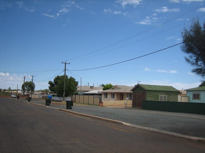
I found the street where they lived. The archives from Boulder Town Hall included a map showing their house block.
So there I was, standing at the very place where Grandma was born in 1901. It was a strange feeling, being on the other side of Australia and discovering an unexpected link to this place.
Grandma and her parents moved back to Wellington NSW, around 1906. The brothers remained and the Colreavy name is now spread far and wide throughout Western Australia.
I can fully understand why Grandma’s family moved back home to Wellington. Living conditions in Boulder would have been unimaginably tough.
An Even Bigger Problem
Apart from the dirt, dust, mud, lack of sanitation and lawlessness, Kalgoorlie-Boulder had a bigger problem. A complete absence of drinkable water.
Incredibly, camel trains were carting water from Perth to the goldfields. The population exploded when gold was discovered, not just at Kalgoorlie-Boulder, but for hundreds of kilometres in every direction.
People were dying of thirst. On news of a gold discovery, desperate miners would pack up everything and walk hundreds of kilometres across waterless ground. They simply hoped they’d find water somewhere. But there was none to be found.
Something had to be done, otherwise the gold rush would be stopped in its tracks.
An Ingenious Solution
An Irish engineer by the name of CY O’Connor proposed a 600km pipeline from Perth to Kalgoorlie. Despite much opposition, criticism and incredible logistical difficulties, the pipeline was completed in 1905.
Over 110 years later, this pipeline continues to be the lifeblood of the gold fields.
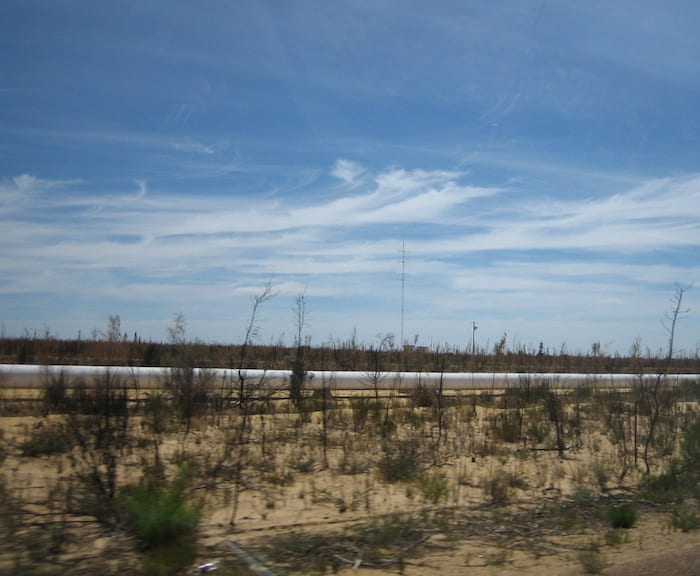
Of course, precious water transformed the gold fields. Without this pipeline, Kalgoorlie-Boulder and surrounding areas would not have prospered and evolved into the modern city you see today.
If you really want to immerse yourself in the history of this pipeline, you can follow it for the entire 600km. The experience is called the Golden Heritage Pipeline Trail and you can pick up details from the Kalgoorlie Tourist Information Centre.
Other Things To See And Do
There is plenty to do in and around Kalgoorlie. The Tourist Information Centre is excellent and has detailed information on all tourism destinations.
Some of the highlights are:
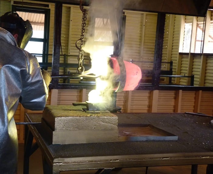
Hannans North Tourism Mine has a huge collection of old mining equipment and memorabilia. The kids can try their hand at gold panning and you can wander through an old shanty town, getting a feel for how the miners lived. There is a gold pour every day, where you can watch how the gold was transformed into ingots.
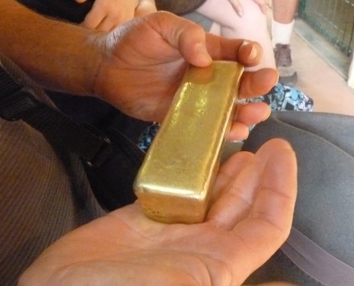
Kalgoorlie Super Pit Tour has been covered in another article here. An excellent tour, where you get a behind-the-scenes look at the Super Pit operation.
Mt Charlotte Lookout is the best place to watch the sun set and get an excellent overview of Kalgoorlie-Boulder and the mines. Most importantly however, is the water reservoir on top of Mt Charlotte. This is where the pipeline terminates after travelling 600km from the Perth Hills. Interpretive signage explains the history of the pipeline and will give you an insight into the obstacles that had to be overcome during its construction.
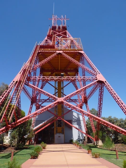
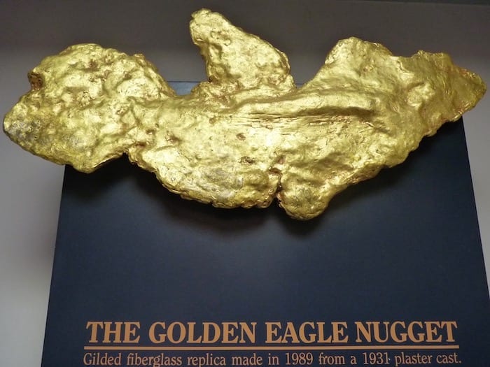
Museum Of The Goldfields has a vast collection of memorabilia from the city’s gold mining history, miner’s cottage, collection of gold bars and nuggets and a look back at how the miners lived and worked in the goldfields.
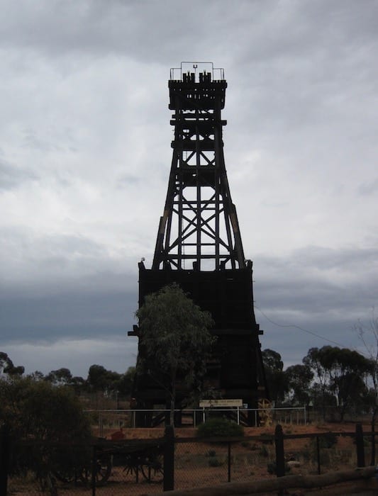
An enormous mining headframe doubles as an excellent viewing platform. You can get an unobstructed view down over the magnificent buildings lining Hannan Street, the main street of Kalgoorlie.
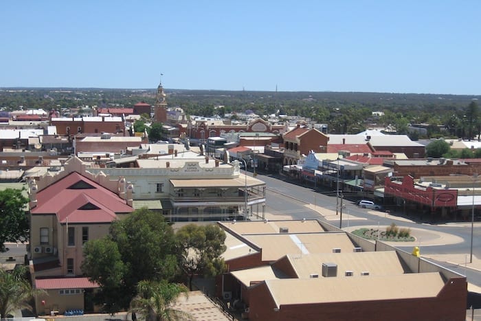
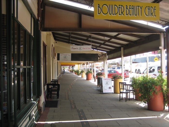
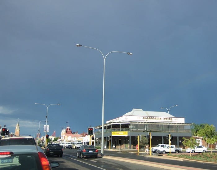
Hannan Street is the main street of Kalgoorlie. Take a walk along the historic main street, lined with ornate Federation buildings funded from the wealth of the gold fields.
Parting Words
Kalgoorlie-Boulder is a fascinating destination. You can easily spend a week or two exploring the area. And it makes a great launching point for discovering the wider gold fields of Western Australia.
The Kalgoorlie-Boulder Visitor Centre is a wealth of information for curious travellers. Make this your first port of call when you roll into town.
Kalgoorlie is on Wangkatja Country.
TourRadar offer a great range of deals on tours in and around Kalgoorlie.
Next time we start our Golden Quest Discovery Trail, an almost 1,000km loop north of Kalgoorlie.
Get your BONUS Guide:
Download “Nullarbor East to West – A Traveller’s Guide”
…at our FREE RESOURCES Page!
Any questions or comments? Go to the Comments below or join us on Pinterest, Facebook or YouTube.
Any errors or omissions are mine alone.
For more great articles on Outback Australia, go here.
