Note: This article contains affiliate links to Hema Maps & Camera House. If you click through and make a purchase, we earn a small commission at no extra cost to you.
Southern End – Broadarrow, Wickham And Gibbie Tracks
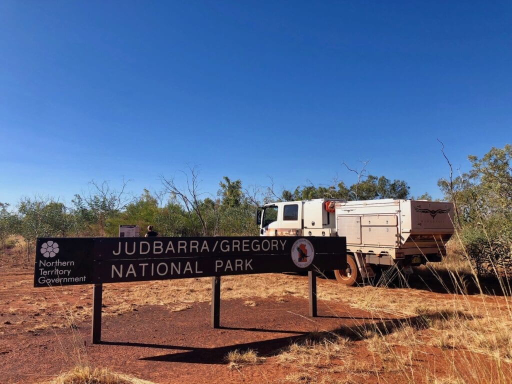
We took a spectacular “shortcut” through Lajamanu from the Tanami Road. Judbarra / Gregory National Park was our destination, and we found ourselves at the turnoff at last.
You see, our plan was to take on the Broadarrow Track, a 200km 4WD trek through the south-western section of Judbarra National Park. Then we were going to swing around and head north on the Wickham Track. However this was not to be, as you’ll discover soon…
We’ll explore the northern end of Judbarra another time.
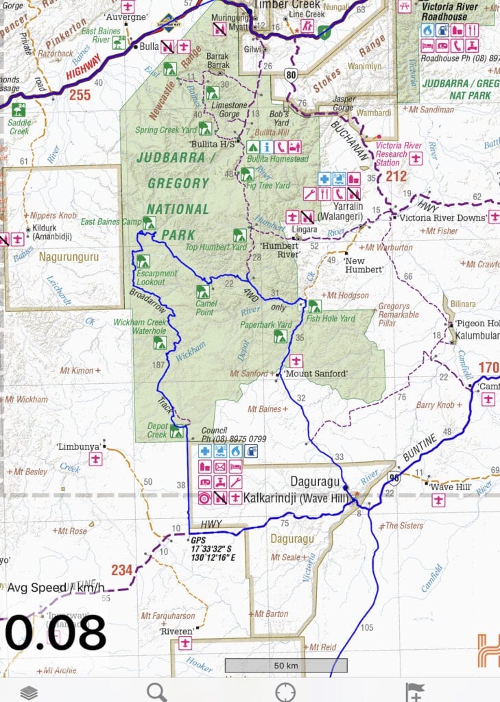
Journey Information
Road Conditions
These are full-on 4WD tracks. If you’re not an experienced 4WDer, forget it.
The tracks throw up just about every challenge. One minute you’ll be driving through sand. The next you’ll be creeping over long sections of tyre-shredding rocks. And the risk of staking your tyres is continuous. Pretty well every part of every track is littered with tough sticks that will penetrate your tyres in an instant.
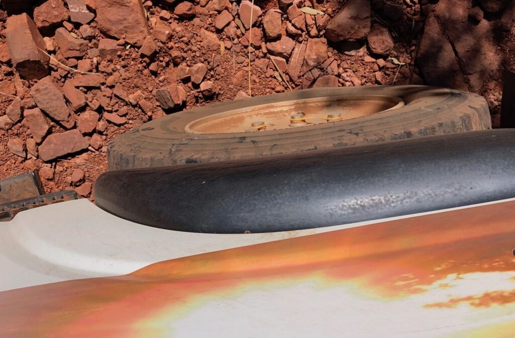
There’s also quite a few sections of tough overhanging scrub. You can avoid bush-pinstriping if you take it steady.
Two spare tyres are essential, as is a puncture repair kit.
Numerous dry creek crossings are often washed out and studded with sharp rocks, so you have to choose your line carefully.
Our advice? Slow down and take it really slowly. Don’t be in a hurry. Allow an extra day just in case you are delayed with flat tyres.
Take a satellite phone or PLB (personal locator beacon). Make sure you tell someone of your plans. This is extremely remote country and you’re unlikely to see anyone.
Camping
Judbarra / Gregory National Park has various camping areas with no facilities. Dig a hole and carefully burn then bury any toilet paper.
You will have to be entirely self-sufficient. There’s no drinkable water within the park, depending on how much time has passed since the last wet season.
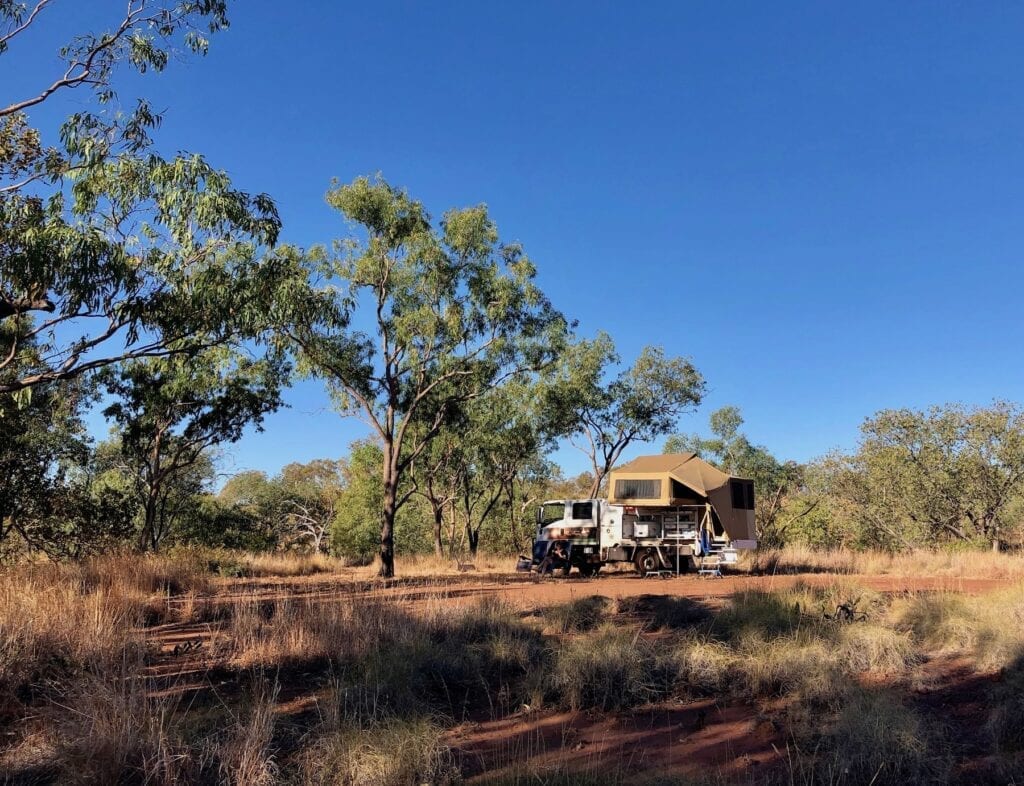
And be crocodile-safe around waterways. This is saltwater crocodile country.
Permits
You don’t need any permits.
Fuel And Supplies
Kalkarindji has fuel and basic food supplies. Katherine and Halls Creek have both as well. Stock up before you leave, and carry extra food and water in case of breakdown.
Broadarrow Track
An Appetiser
The Broadarrow Track starts from the Buntine Highway in the southern-western end of the Park. It was used by teams of pack horses and donkeys to supply far-flung stations from Timber Creek.
Unfortunately the Park is now home to mobs of feral donkeys. Also we saw many mobs of wild cattle which were flighty and nervous as we approached. And the bulls are monstrous!
Once you turn north off the Buntine Highway, you’re on an overgrown station track for 38km to the southern boundary of Judbarra / Gregory National Park. This track mostly follows a fence line and is rough in places.
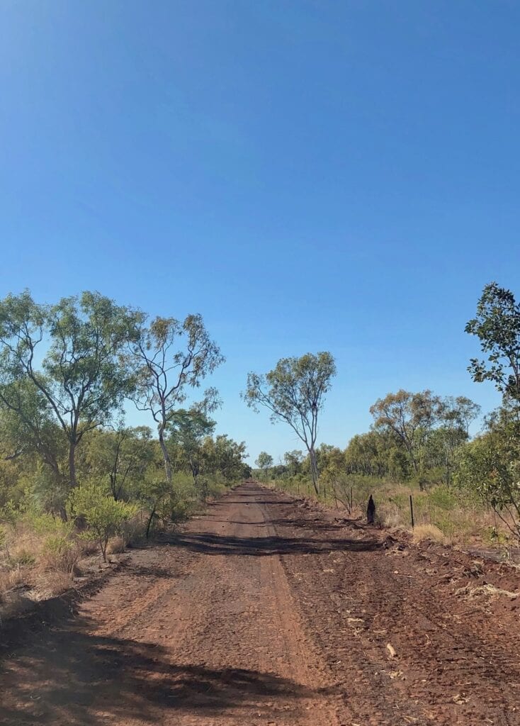
Even so, it’s a perfect introduction to the Broadarrow Track. You wind around a couple of red rocky hills and drop down a rocky drop off, giving you just a small taste of things to come.
Follow The Markers
Once through the gate and into the Park, simply follow the track. It has regular markers arrows mounted on star pickets, reassuring but probably not really necessary.
What’s really handy though are small blue signs every 10km, with an image of a boab tree and a distance from the starting point printed on it.
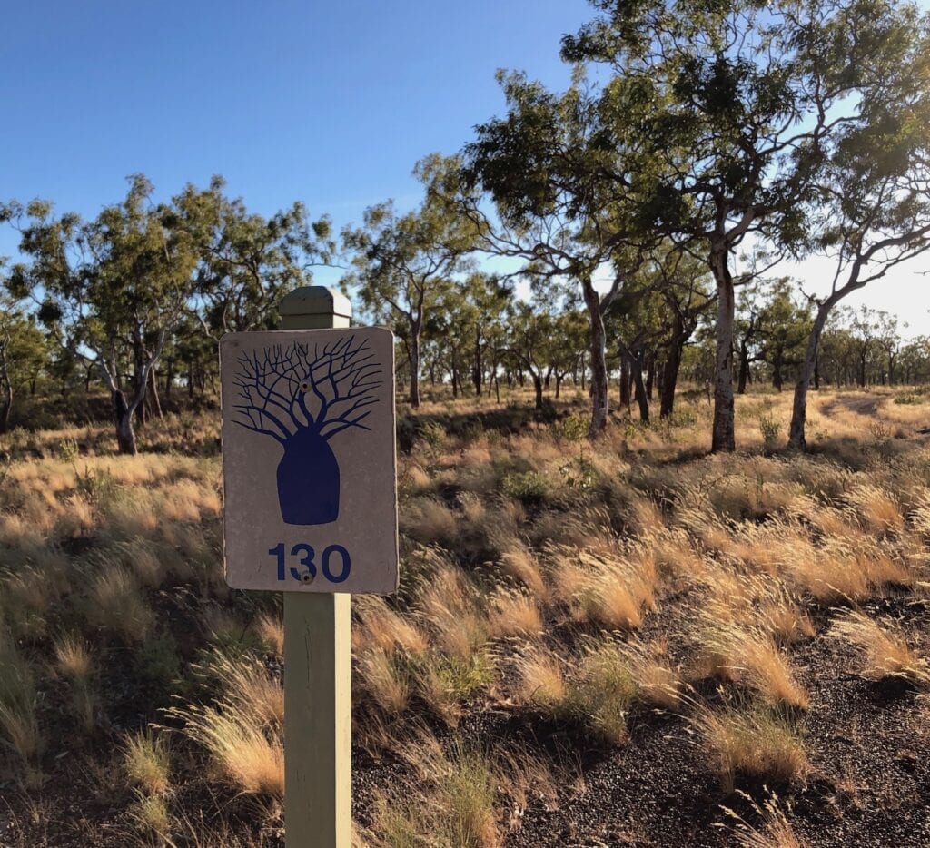
Occasionally these come up fairly quickly. But mostly we felt like we’d covered 100km, not 10!
We suspect we were the first travellers through this season. The only other tyre tracks were of a tractor and most likely a National Parks vehicle driving the track to check it. We certainly didn’t see any signs of other travellers.
Depot Creek
We camped the night at Depot Creek Campground, only about 6km into the Park. This is your first Creek crossing. It was nothing challenging, although pretty washed out on the approach side. Like all the creek crossings, it was bone dry.
There’s no facilities here. The sense of isolation and remoteness enveloped us as the setting sun put on a fantastic display.
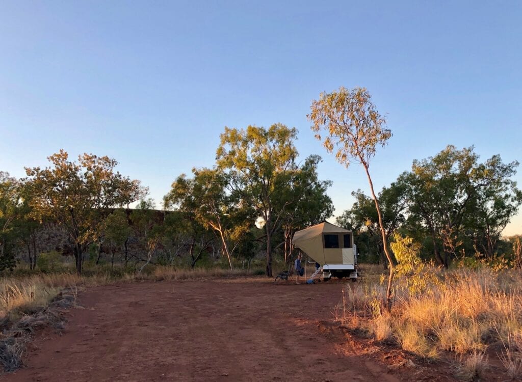
We had an easterly gale blowing all day, yet Depot Creek is quite protected. As the wind died after dark, all we could hear was the ringing in our ears. The sky filled with stars, until the almost full moon poked its nose over the eastern horizon.
A perfect start to our first night on the Broadarrow Track!
The Dreaded Tyre-Shredding Rocks
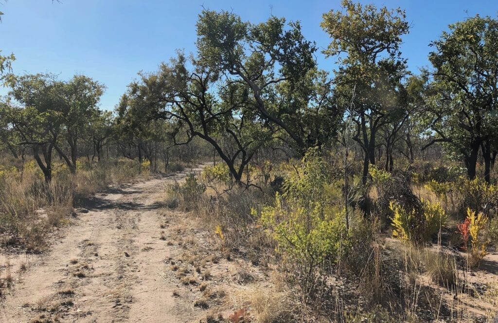
Leaving Depot Creek the next morning, we continued vaguely north. The track meanders every which way.
And when I say “track” I really mean track. It is two wheel tracks through the scrub. As I said earlier, a tractor had been through, pushing the occasional termite mound out of the way and slashing the spinifex down the middle of the track.
I’m glad they had slashed, as we didn’t have to worry about spinifex building up under our truck and potentially catching fire.
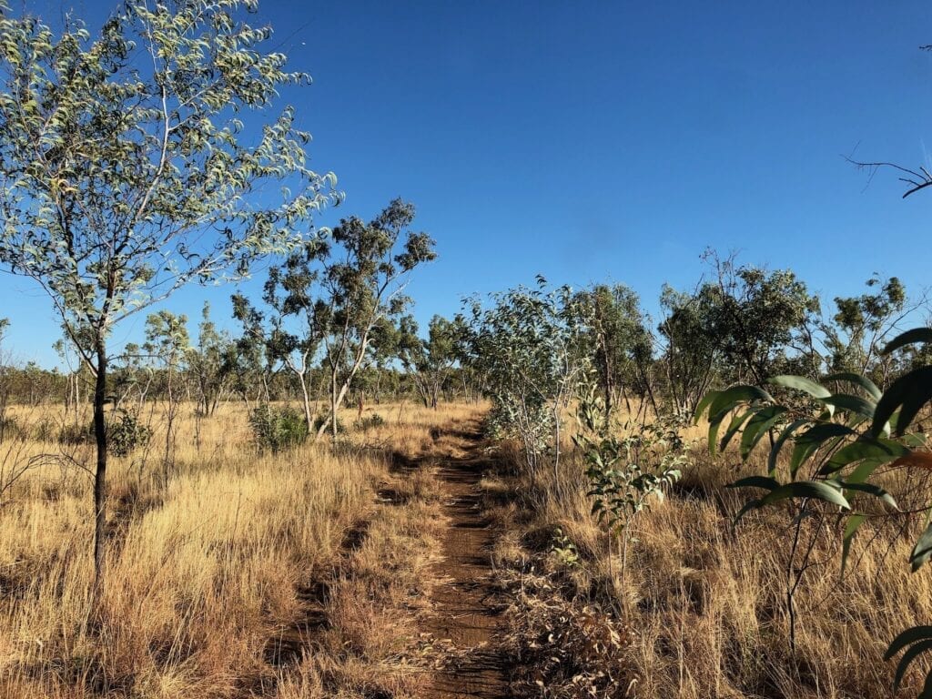
For an hour or so we dodged scrub on both sides of the track, overhanging branches in our tall truck, termite mounds on the track, sharp rocks and the ever-present sticks just looking for a home in our tyres.
This was to be the case from start to finish of the Broadarrow Track. You have to be on the ball… or you’ll be getting plenty of tyre changing practice!
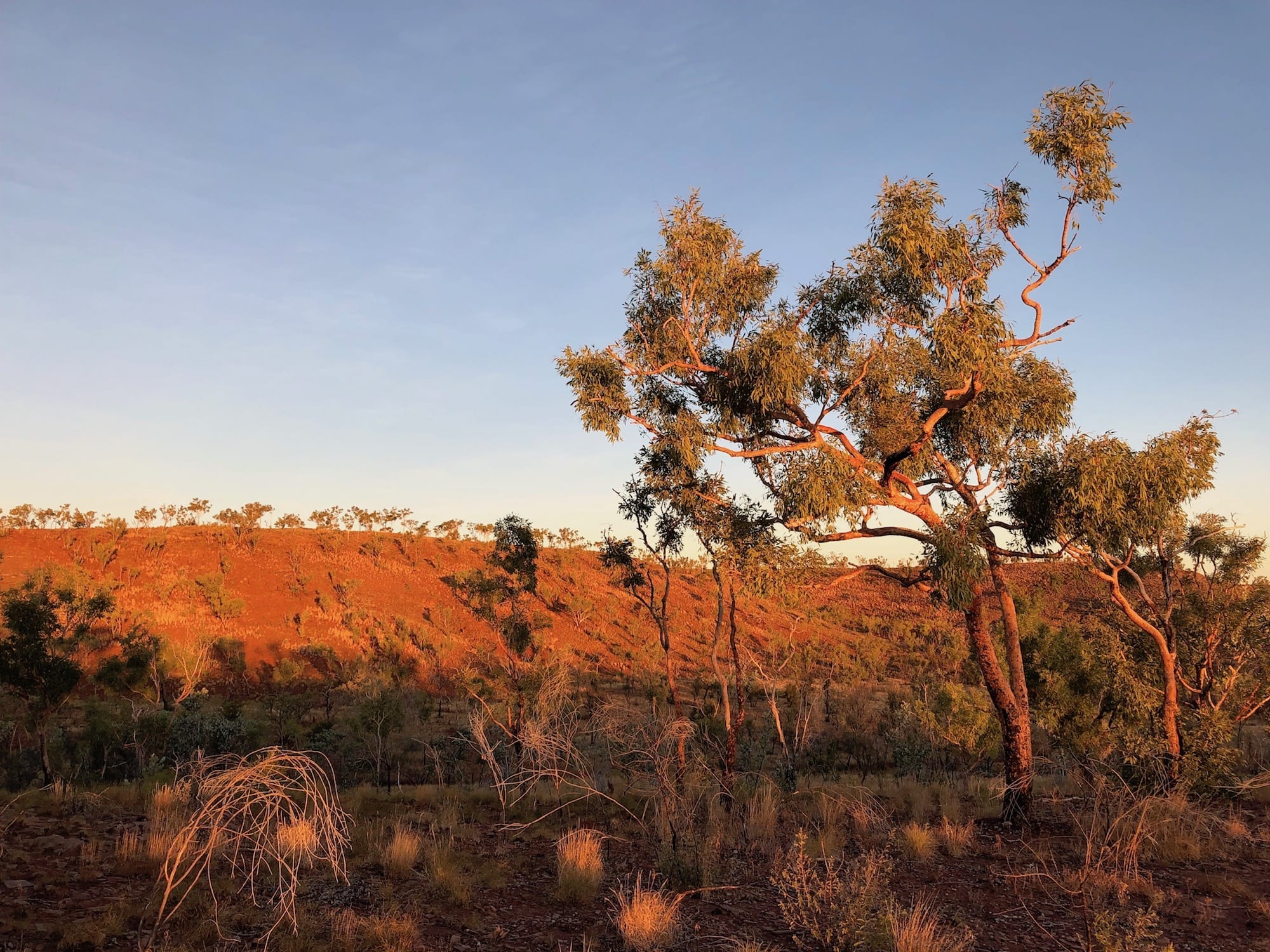
All the time, we marvelled at the changing landscape. In the early morning light, all the colours stood out. The numerous varieties of gums, grasses and spinifex were putting on their best display for us.
Then we encountered our first of many long stretches of rough rock. Now we’re talking rock here and not much else (apart from the stakes of course). And these rocks are evil. They are either pointed or have a nice sharp edge, or both. We spent a lot of time in first gear low range, carefully tip-toeing over these tyre-killers.
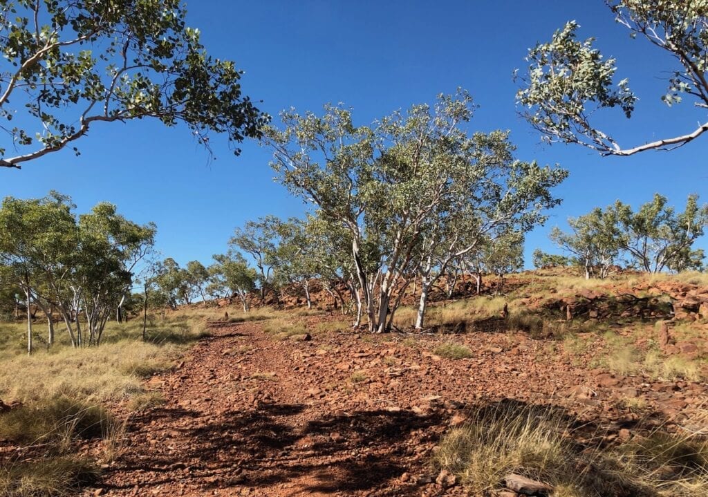
But there’s something about this track that got us in. The scenery is absolutely mind blowing.
An Ever-Changing Landscape
For example, our first extended encounter with the dreaded rocks saw us deposited at the base of a jump-up. The track flattened out with coarse black gravelly sand under our (still intact) tyres. The ancient rock faces and deep red rocks were softened by green spinifex clumps and various gums.
You feel like you’ve been transported back in time to another world. This is Top End touring at its best. We can only imagine how much Aboriginal rock art must be hidden within the complex maze of escarpments and valleys.
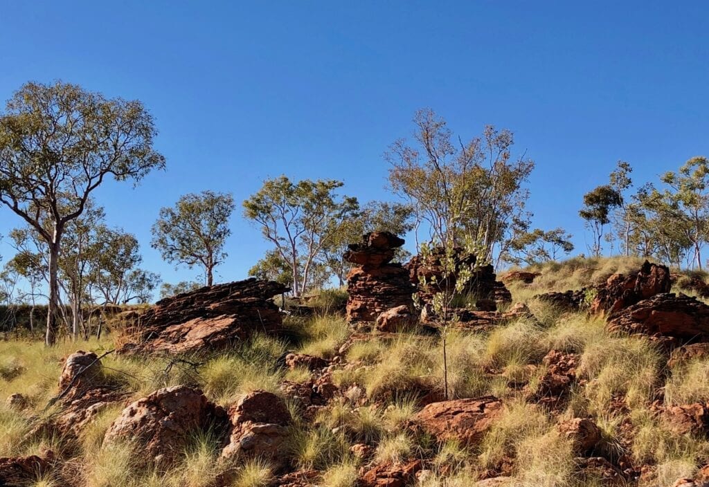
Snaking through thick scrub, crawling over killer rocks, weaving through sparsely wooded land with natural grasses and spinifex waving in the wind, sneaking around the base of escarpments, dropping into deep rocky creek beds, climbing straight up and over steep hills, pushing through sandy grasslands, climbing scrabbly jump-ups onto massive plateaus… this track is truly magnificent.
By day’s end, we had travelled about 100km in 6-1/2 hours, an average of just 15km/h. This gives you an idea of how slow the track can be. We’re slower than the average 4WD of course. But if you dislike changing tyres as much as I do and don’t want to shake your vehicle to pieces, then take it easy.
Box Seats For The Sunset View
We pushed past the Escarpment Lookout campsite, expecting to make it to East Baines River Campground. However, a series of long days took their toll and I had to pull up early.
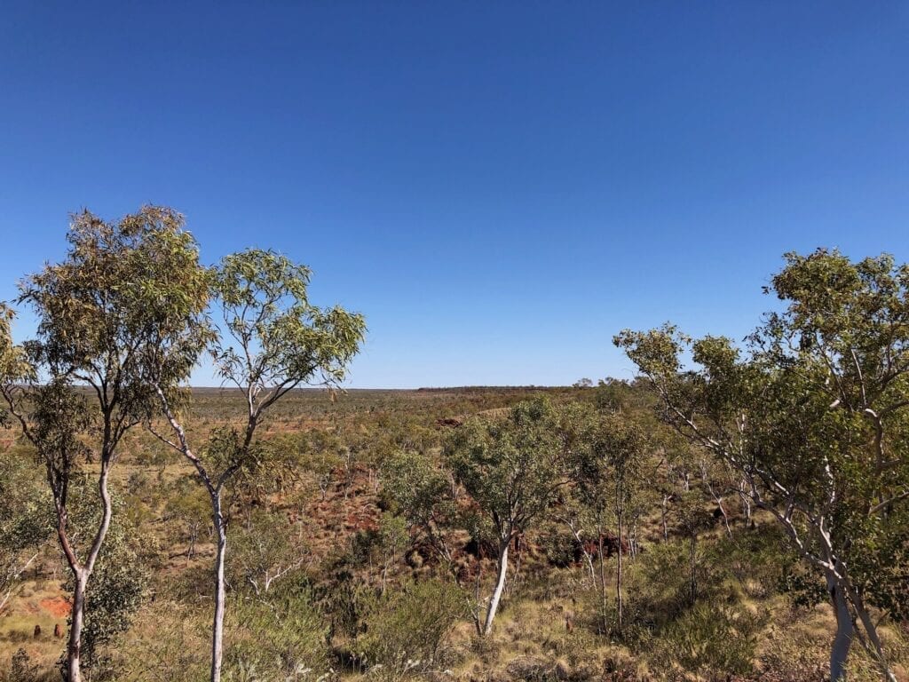
National Parks want us all to camp in designated campsites, and fair enough too. However, I was buggered and was starting to miss seeing obstacles on the road. It was time to pull over.
We camped just off the track, on the edge of a magnificent escarpment which dropped to the west. Since we’re fully self-contained (including toilet) we figured it safer and more sensible to stop for the night.
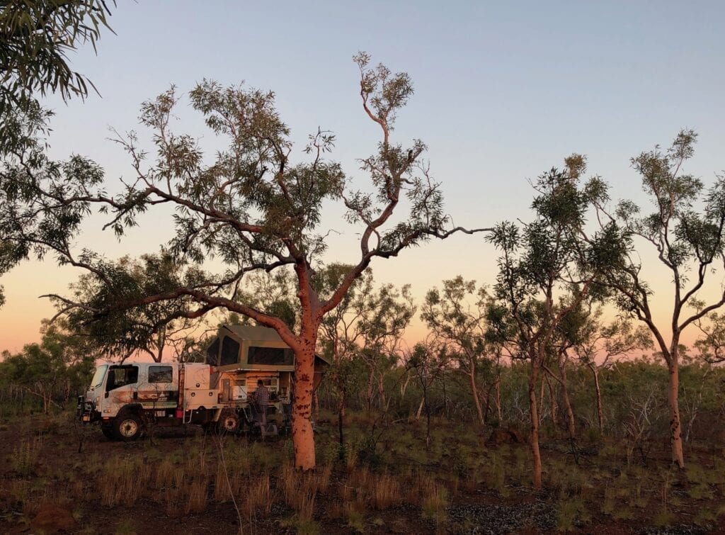
The sunset view was extraordinary. It lit up the salmon gums and deep red rock all around us, surrounding us with a surreal reddy-orange light. The Top End certainly knows how to put on a good sunset!
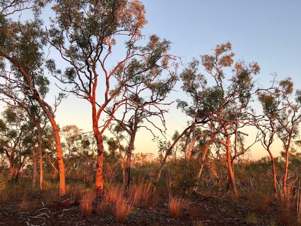
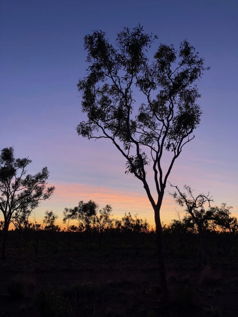
The orange glow to the west continued well into the night. Once it was over, the sky was carpeted with stars. And the morning sunrise was just as spectacular, if quite a bit shorter than the lingering sunset.
Making Good Time
In the morning we pushed on to East Baines River Campground, a couple of hundred metres off the track. As we drove towards it, three massive gorges opened up before us.
The campsite sits in the top of a Y of three converging gorges. The East Baine runs from the left then curves away from the campsite, while a tributary comes in from the right. The river has cut deeply through layers of dark red rock.
The sheer walls of the gorges were imposing. From our vantage point at the top, we couldn’t see down into the bottom. We’re guessing the gorge is about 100 metres deep in places.
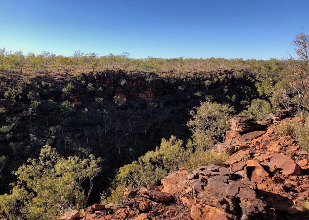
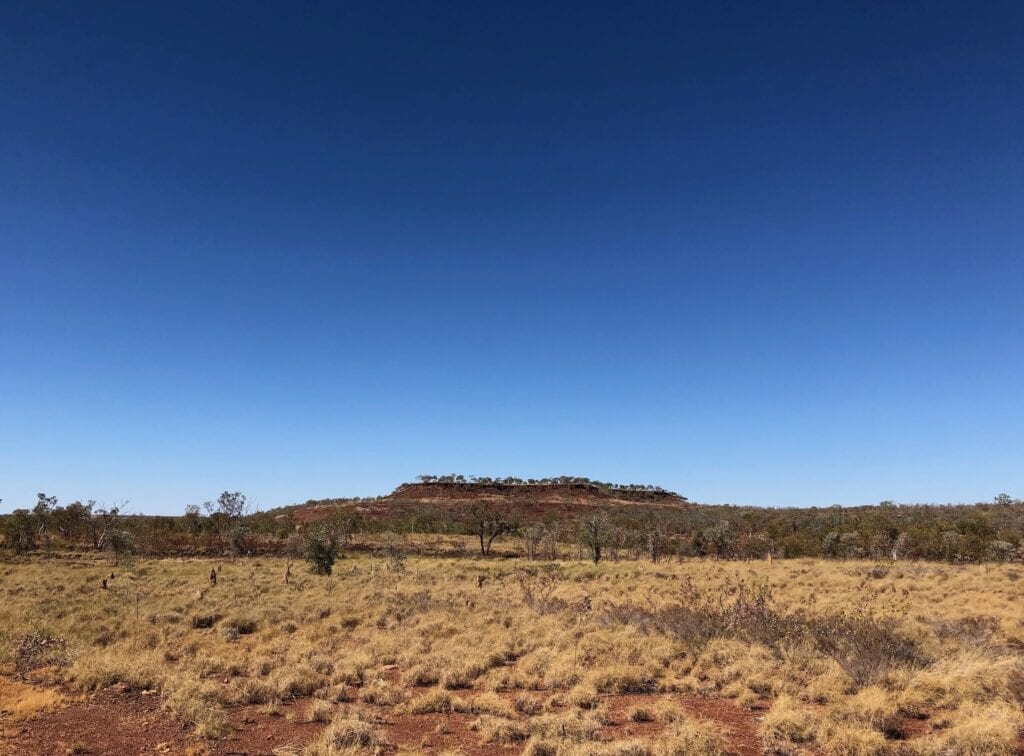
Leaving East Baine, the track was pretty good all the way to Camel Point. This exposed camping area gives you an excellent perspective of where you’ve been for the last couple of days. You look over broad lowland plains, sweeping 270 degrees around you. The plateau we’d been driving on was clearly visible to the west and south-west.
So we’d basically been following along the top of a plateau all the way from Depot Creek. Of course there’s plenty of ups and downs along the way… it’s definitely not flat!
Looking east, a couple of flat topped mesas dominated the view in the distance, with their rough hairdo of trees on their flat tops.
Slow Going
It’s only 27km from Camel Point to the end of the Broadarrow Track. Yet we took over 2-1/2 hours to traverse his section. It’s horrible.
After Camel Point you drop down off the plateau. And yes, it’s all large loose rocks. In fact there’s a few really ugly descents over large loose rocks. I’m not quite sure how you’d even get up them if you were going the other direction.
The track was mile after mile of horrible sharp rocks, up one side of each slope and down the other. Sections of good track were virtually non-existent. We spent most of our time in low range first gear.
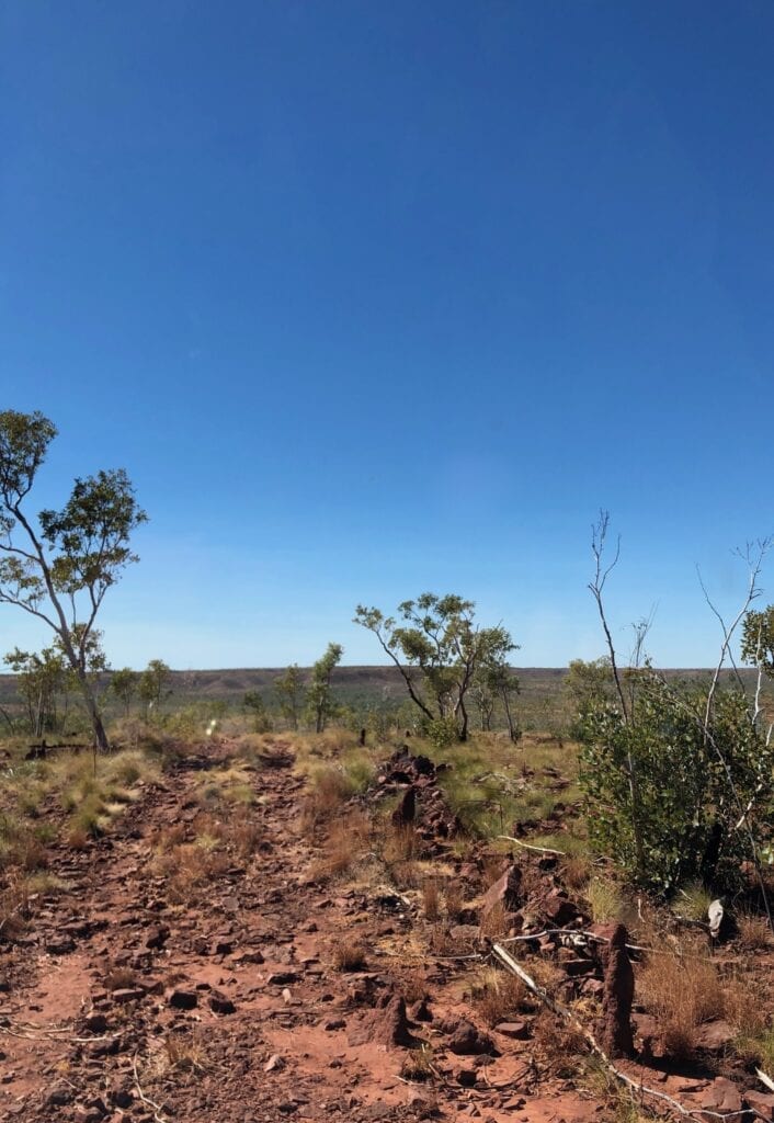
There’s also a long tortuous jump-up that winds straight up the side of a small escarpment. It’s a full-on rock hopping adventure… not my favourite 4WDing terrain, but fun nonetheless!
The scenery is simply beautiful. The escarpments and ancient mesas make the journey worthwhile. Isolation presses in from all sides. We could have been the only people on the planet.
Summary Of The Broadarrow Track
If you’re a keen and experienced 4WDer, this track has to be on your list. It has a bit of everything. The track is remote, challenging (despite NT National Parks calling it “moderate”) and the ever-changing scenery is sensational.
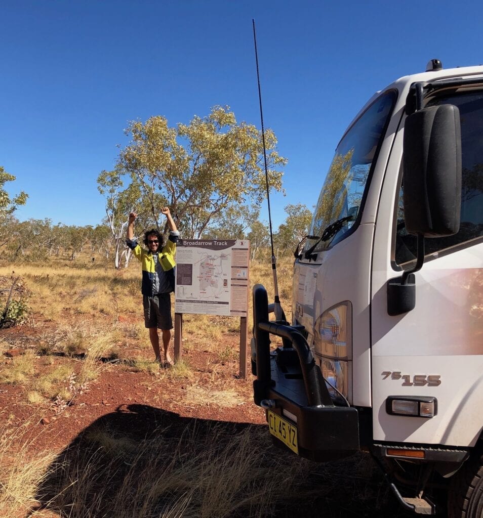
My last piece of advice. Be well prepared. If you break down, you might as well be on the moon. You’re a long way from help. You must take at least two spare tyres. And if you get through with all tyres intact, you’re doing well.
Wickham Track
This runs from just south of Fish Hole Yard (on the Wickham River), past the eastern end of the Broadarrow Track, then north to Top Humbert Yard. It’s only 28km from the Broadarrow Track intersection to Top Humbert Yard, but don’t be deceived by the distance. Just a few kilometres north, you’ll encounter a killer jump-up…
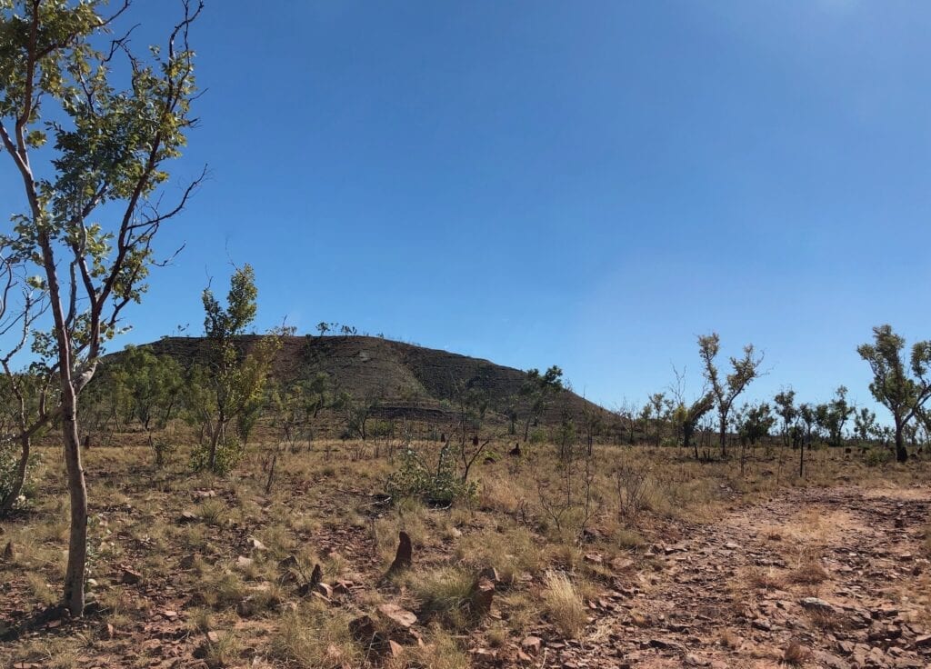
Meeting Our Match
We’d spent most of the day overcoming some seriously challenging ascents and descents on loose rock. So while National Parks warn of a jump-up on this track, we weren’t too concerned.
We were wrong!
About 5 kilometres north of the start, we encountered this jump-up. It was pretty nasty. The climb was steep and badly dug out by other 4WDs. I rolled a few huge rocks out of the way and picked a line up the climb.
Then I changed my mind and decided another line was better. Bad mistake!
I eased up the slope then the truck started to slip and scrabble. Both front and back left wheels hit rock ledges simultaneously.
The truck hopped and bounced, and all I could think was, “This is not good”. I admitted defeat before I snapped something expensive, and reversed down.
If I’d tried again and taken my original line, we most likely would have made it up.
But I was over it and decided to admit defeat. We camped at the base of the jump-up and revised our travel plans.
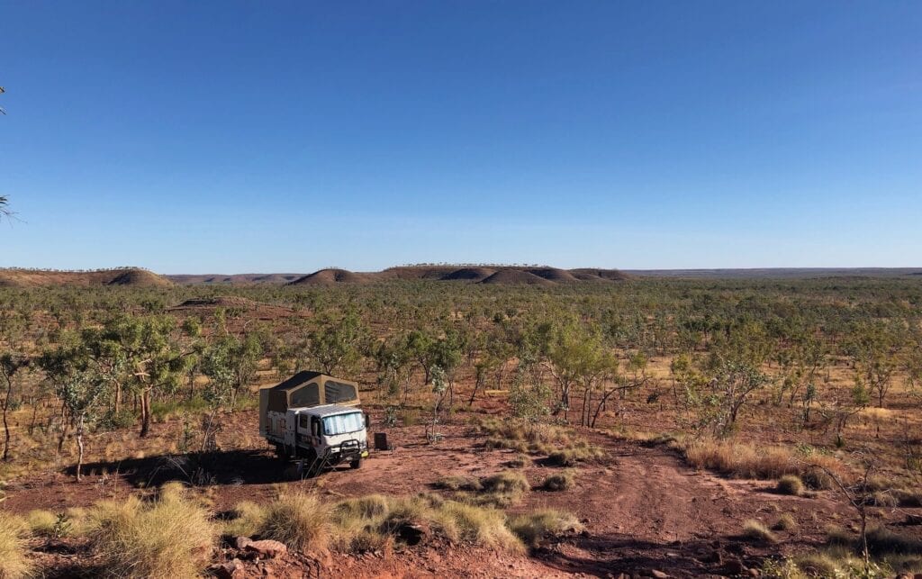
So close and yet so far…
South To Fish Hole Yard
Next morning we retraced our steps back to the Broadarrow Track intersection then followed Wickham Track south-east. It’s a slow trek to Fish Hole Yard. You follow the Wickham River and cross dozens of small creeks.
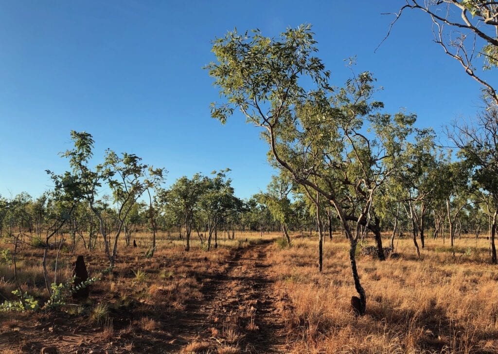
Each creek slows you down, so don’t be in a hurry!
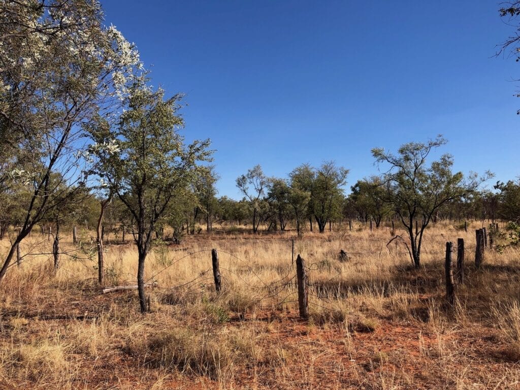
On the way, we passed Dingo Yards, which is now just rotting posts with wire strung between them. These would have been a set of yards used for stockwork when this was a working station.
The highlight of this track is the Wickham River crossing. The river was flowing and pandanus palms plus large paperbark trees gave this a tropical atmosphere. The crossing would be an ideal spot to camp.
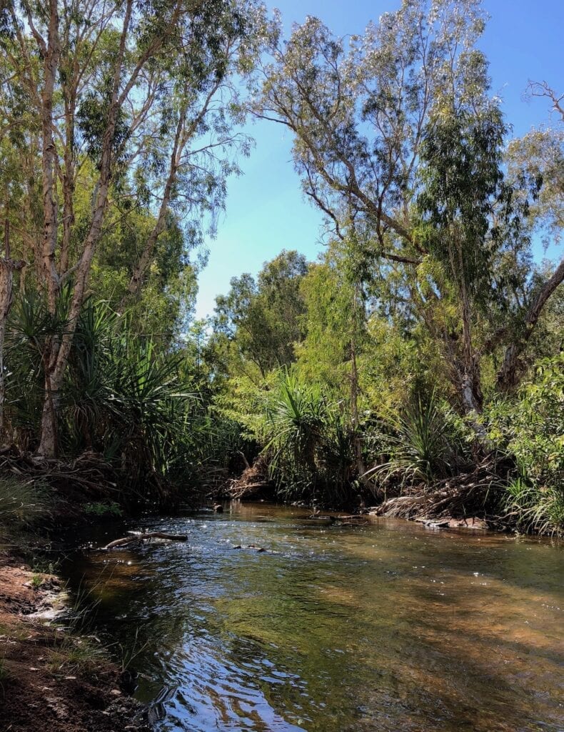
The crossing itself was fun. We eased into the river then crossed diagonally upriver to the other side. The base is firm and the water’s shallow… at least it was for us.
Just a bit further on, we reached the southern end of Wickham Track and turned onto Gibbie Track.
Summary Of Wickham Track
It’s really rough with lots of creek crossings. The jump-up beat us this time.
The scenery is brilliant, with the surrounding hills and escarpments providing plenty of photo opportunities. The highlight though is undoubtably the Wickham River Crossing at Fish Hole Yard.
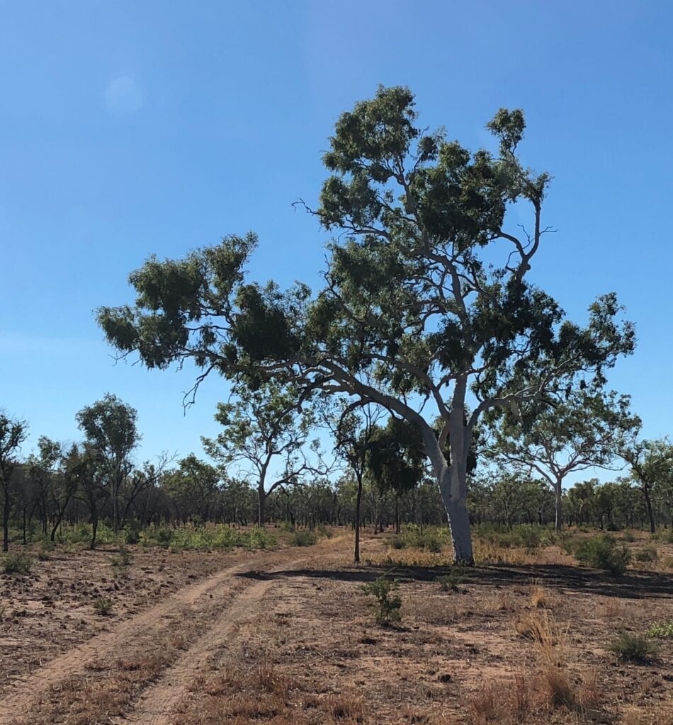
Like the Broadarrow Track, beware the sharp rocks and stakes. This is a slow, rough track.
Gibbie Track
Gibbie Track has a couple of standout features. The first is the drive along Gibbie Creek. You cross the creek numerous times as the creek alternates between hugging the escarpments on the east or west sides.
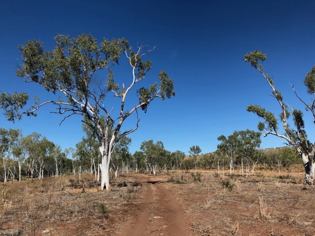
The creek was mostly dry, but we did see a couple of delightful waterholes lined with pandanus palms.
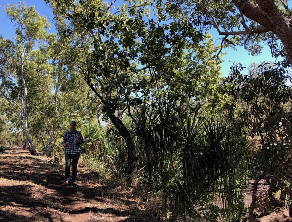
Along one section, an enormous reef of black rock dominates the low escarpment. It’s impossible to describe how old these escarpments look. They are weather-beaten and tired. Billions of years of erosion have reduced them from towering mountains to the remnants you see today.
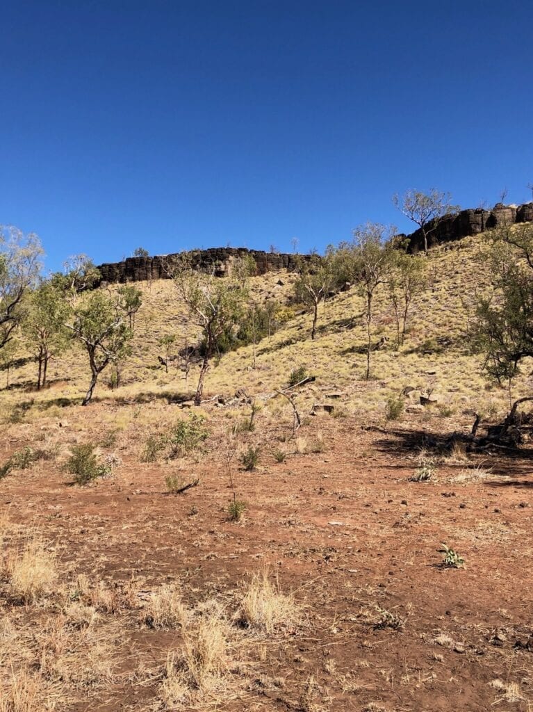
More Rocks…
The second standout feature is the climbs and descents towards the southern end of Gibbie Track. You climb up a long slope over some truly horrible rock sections. Then after a while, you drop down quite steeply into another dry creek. This descent is entirely composed of rock… big, nasty, sharp red rock.
Gibbie Track is every bit as much a tyre shredder as the Broadarrow Track. We averaged 10km/h for the entire day on both the Wickham and Gibbie Tracks! Remember we were in a 4WD truck, so it’s quite a bit slower than a smaller 4WD. However, these tracks are slow, regardless of the vehicle you’re in.
The rock sections combined with dozens of creek crossings are the time-sappers. And both these tracks have very few good sections in between the rough stuff.
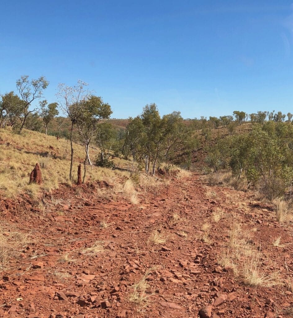
Our final leg to the southern border of Judbarra (Gregory) National Park was a slow drive over endless rocks. This is harsh country. By the time we reached the gate into Mt Sanford Station, we’d had enough.
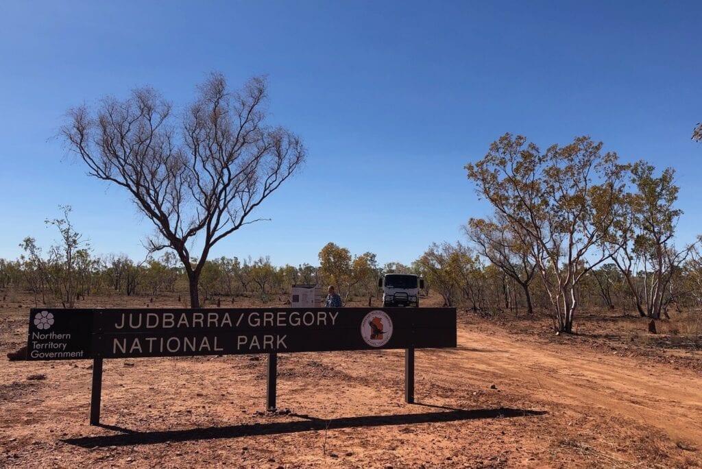
From the National Park gate at the Southern end of Gibbie Track, it’s 65km to Kalkarindji and the Buntine Highway. This is a properly formed road, but is pretty rocky and badly corrugated in places.
Summary Of Gibbie Track
The scenery along Gibbie Creek will buoy your spirits. You get to see the ancient escarpments up close. The section of black rock is particularly special.
Just like the Wickham this is a slow rough track with lots of small creek crossings and ten or so crossings just of Gibbie Creek! The southern end is particularly nasty, with some severe sections of rock.
Overall Summary
The entire trip was absolutely fantastic. This is remote and isolated Top End country. I can’t over-emphasise how important it is to be prepared for any eventuality.
The 270km (within the Park) took us three days. Allow an extra couple of days, just in case of breakdowns or repairs. I’d suggest travelling with someone else.
And ignore NT National Parks’ dangerously understated descriptions of these tracks. They’re ALL tyre shredders and rough and rocky and slow.
There’s nothing “moderate” about them whatsoever. This is extremely remote country and the tracks are tough. These tracks deserve a whole lot of respect.
Although only 270km in total, we saw just about every different type of terrain imaginable. From rugged cliff faces to deep gorges, beautiful creeks lined with pandanus palms forming a striking contrast to the arid escarpments, gently sloping escarpments covered with white spinifex… this is a trip you’ll never forget.
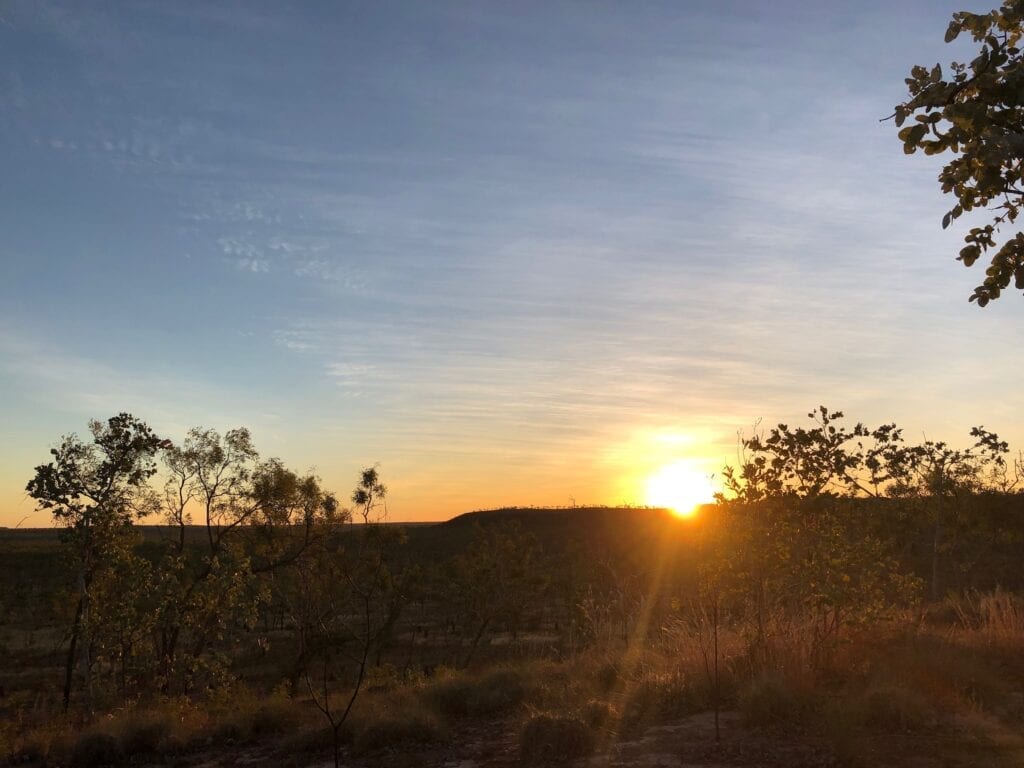
It’s worth every bounce and scrape and jolt!
Oh and in case you’re wondering, we managed to get through without a puncture or destroyed tyres. Although I’m not sure how…
Judbarra / Gregory National Park is on Gurindji, Ngarinman, Karangpurru, Ngaliwuru, Nungali and Bilinara Country.
Looking for more great articles on NT National Parks? Then go here.
Get your Traveller’s Guides
… and a whole lot more at our FREE RESOURCES Page!
Any questions or comments? Go to the Comments below or join us on Pinterest, Facebook or YouTube.
Any errors or omissions are mine alone.

Hi Guys really enjoyed your video well done and informative.
Thanks! Cheers, Andrew