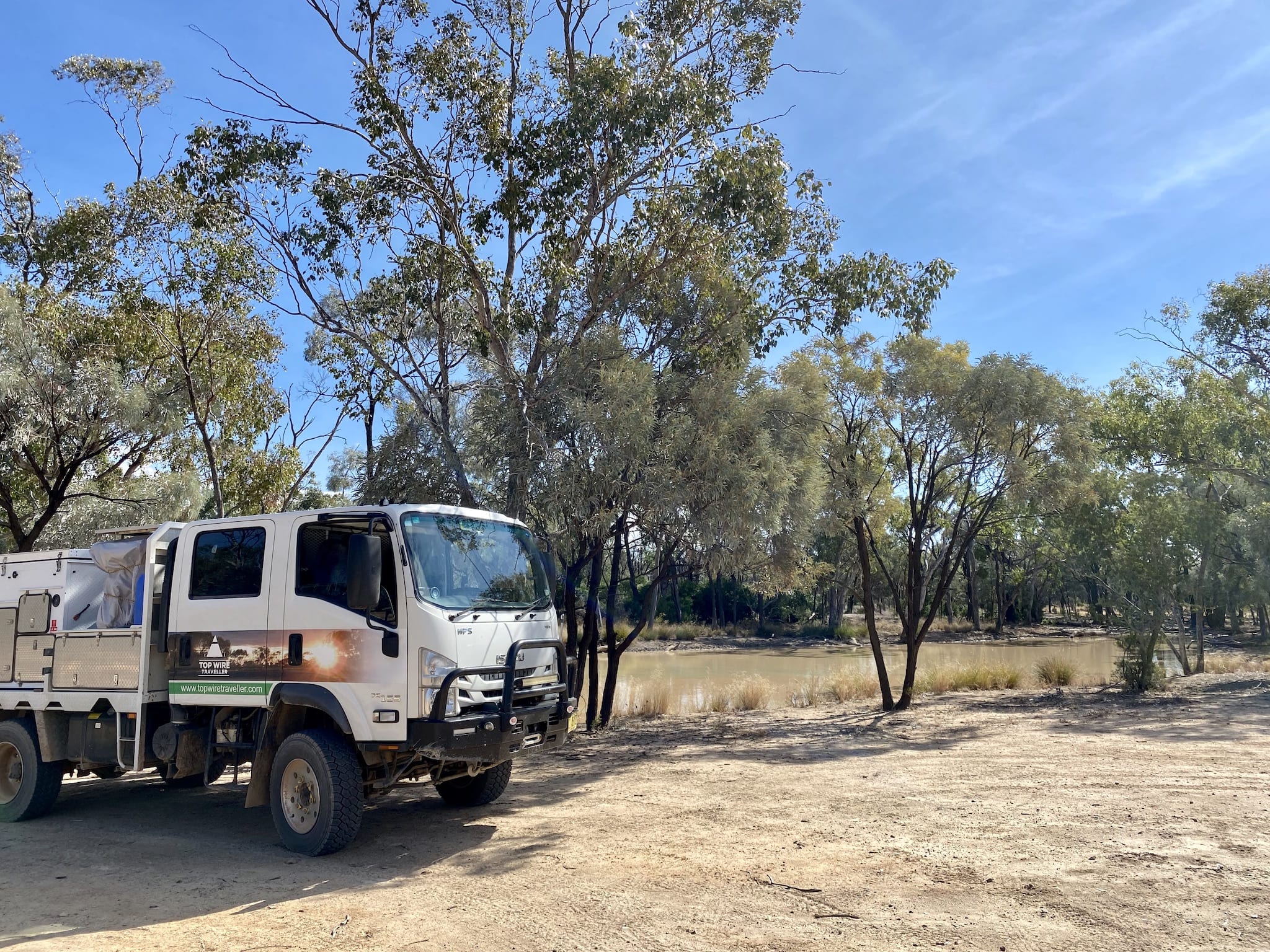
Idalia National Park rises out of the black soil plains, breaking the monotony of the seemingly endless plains country.
But the hills and escarpments of Idalia couldn’t be more different to the surrounding black soil plains. Where the black soil plains are fertile and full of life, the rough, rocky red sandstone country of Idalia is unquestionably arid.
In some ways, Idalia is an island of arid country in a sea of riches. And this is what makes it unique and worth visiting.
Getting There
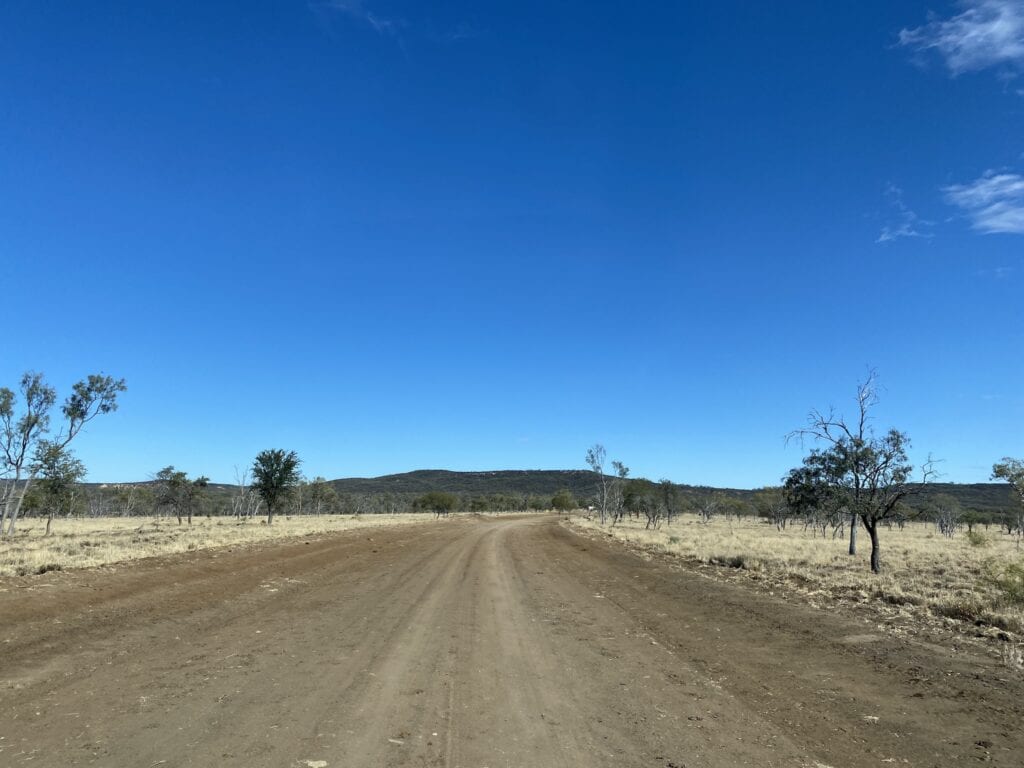
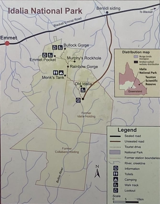
Idalia National Park is about 115km from Blackall. Take the tarred Isisford Road for about 45km, then turn left onto the tarred Blackall-Emmet Road. After 25km, turn left at Benlidi Siding (Idalia National Park is clearly signposted). Follow this dirt road for about 45km to the information shelter.
Beware. This is black soil country. At the first sign of rain, delay your trip or get out of the Park. Black soil only needs a few light showers to become impassable.
Much of the tarred road is narrow, so keep an eye out for road trains. Pull off the road and give them plenty of room to stay on the narrow blacktop.
Once you cross the grid into Idalia National Park, the country switches instantly from black soil to arid, rocky red sandstone escarpments covered in mulga scrub.
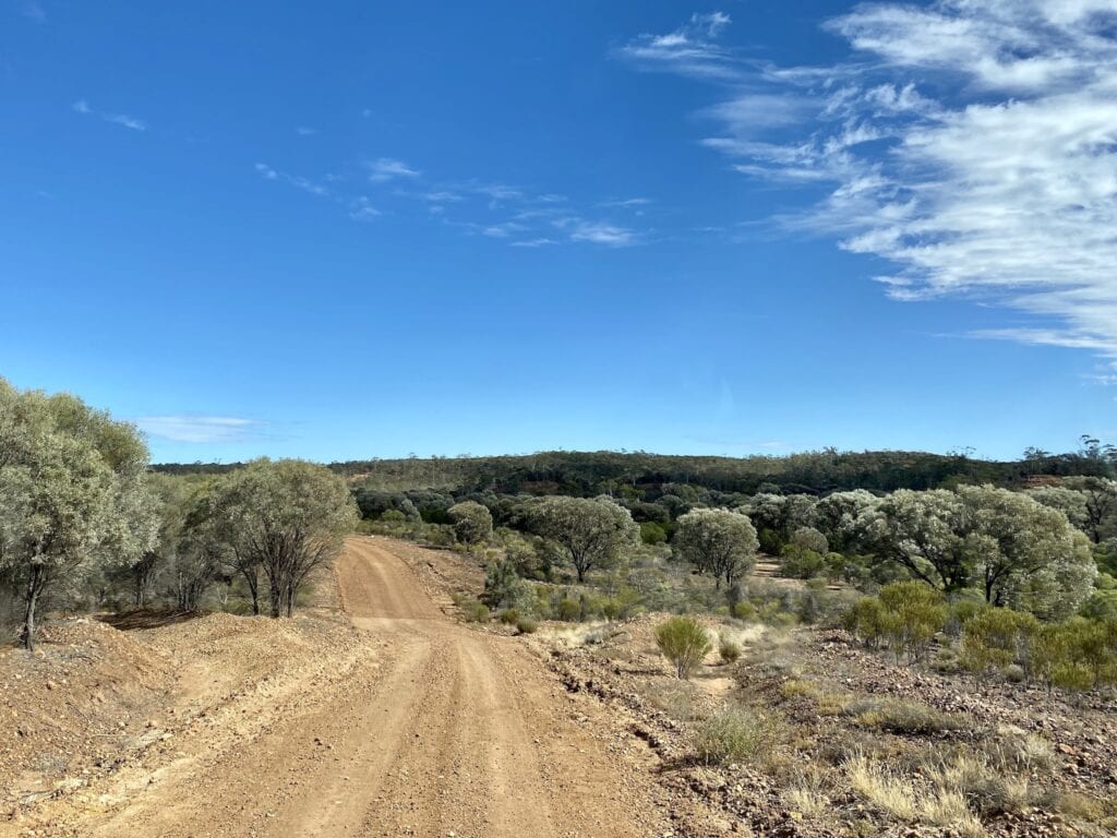
Some of the tracks within the Park are rough and eroded. So take a high clearance 4WD.
Camping and Facilities
The only camping spot is Monks Tank campground, 35km from the park entrance. It’s surrounded by dense mulga scrub.
There’s a drop toilet and plenty of space to find a bit of privacy. Otherwise, you’ll need to be entirely self-sufficient, including firewood. There’s no rubbish collection, so take all your rubbish out with you.
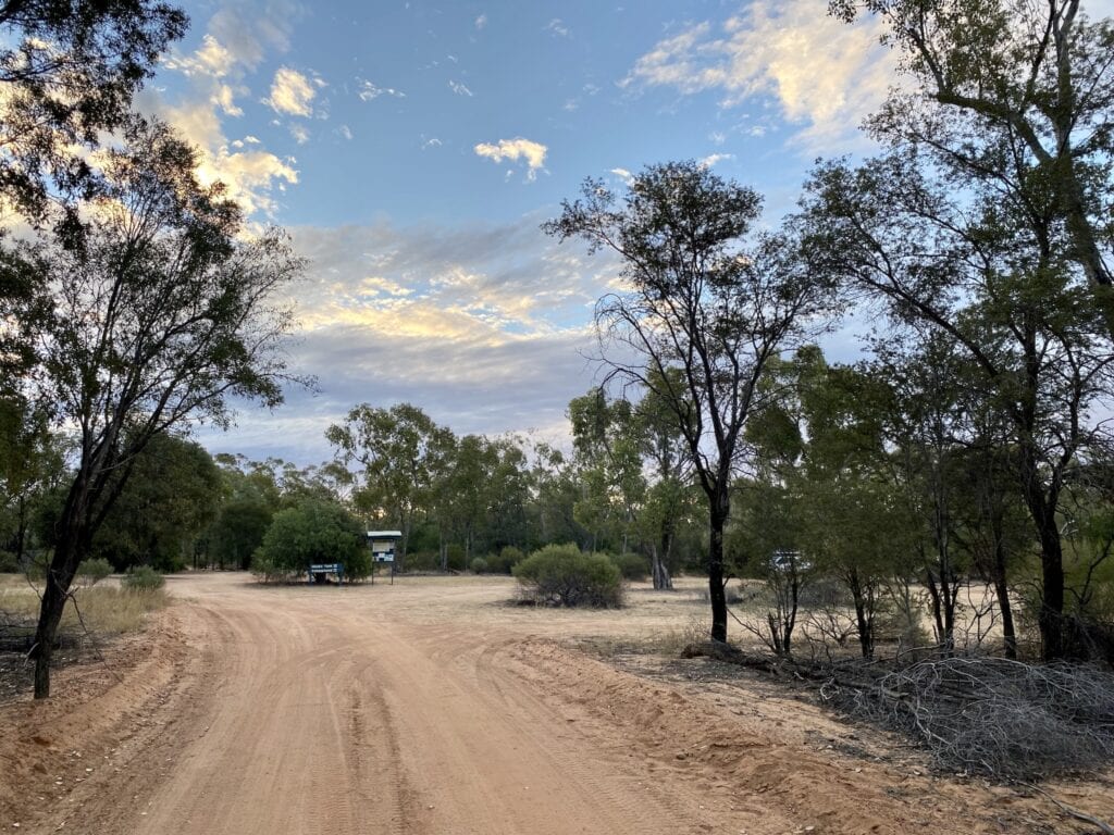
And you can have a fire, depending on what time of year you visit. Just make sure you bring firewood, as you’re not allowed to collect it from within the Park.
When To Visit
April to September is the best time. Outside of this, the exposed and rocky landscape means you’ll be cooked from the ground up.
In fact, the country is very similar to Hell Hole Gorge National Park to the south. That’s one place I definitely wouldn’t want to visit in summer!
What To See
The southern end of Idalia was once Collabara Station. Two separate families tried to make a living from this place, but faced severe setbacks due to the unsuitable grazing country, the ravages of prickly pear, dingoes killing stock and termites eating everything they tried to build.
How anyone could think they could run stock and make a living here defies imagination. The owners must have gazed over the surrounding fertile plains longingly, wishing they’d taken up land there instead.
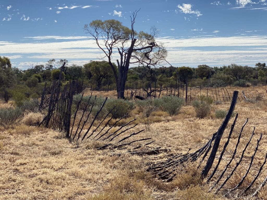
The local Kuungkari people also suffered, due to loss of their Country, disease and the ravages of colonisation.
And people weren’t the only creatures to suffer. The bridled nailtail and yellow-footed rock wallabies were hunted for their skins, lost large parts of their habitats due to grazing and were hunted by feral cats and foxes. The nailtail wallaby became extinct, until they were successfully re-introduced to the region in 1996.
So the story of Idalia is one of adversity. No one and no creature benefited from colonisation, including the colonists themselves.
Small pockets of reasonable grazing country exist along dry creek beds. However, the overwhelming landscape at Idalia is one of red soil low in fertility and arid, rocky hills and sandstone escarpments. Then in the higher country, you’ll be faced with thick stands of scrub.
But in some ways, the arid nature of this country is what makes it worth seeing.
So what can you see in Idalia National Park? Let’s take a tour.
Wave Rock and Old Idalia
Turn right off the main track to Wave Rock and Old Idalia, 19.7km from the visitor information booth.
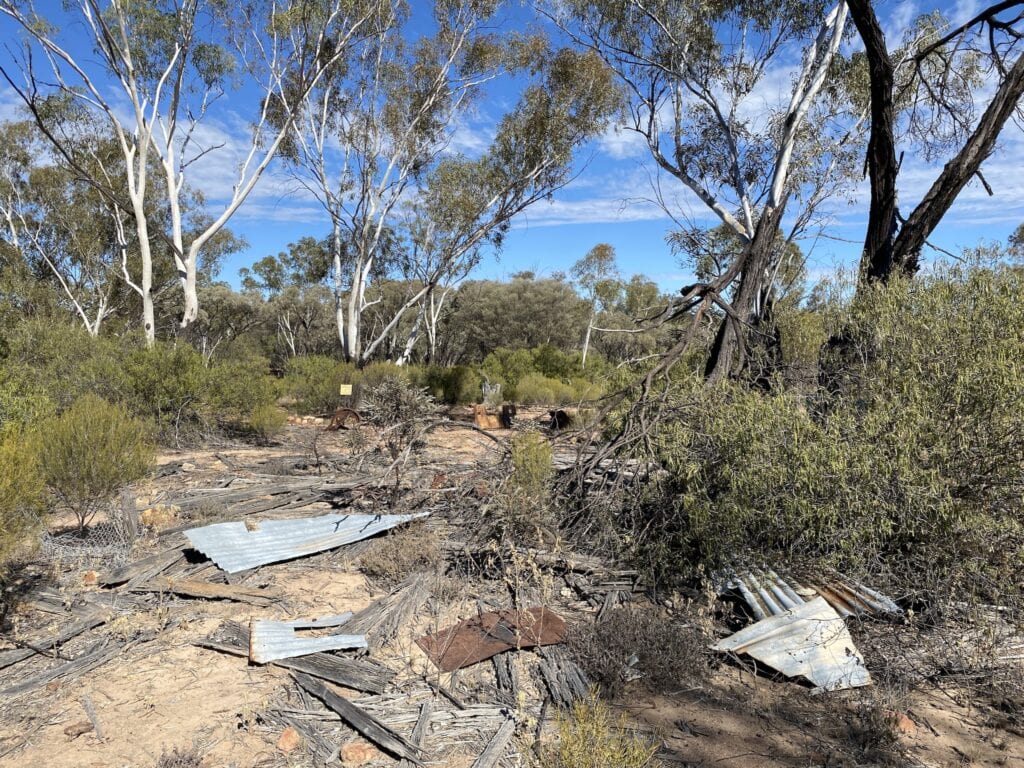
At Old Idalia, you’ll see the remains of a stockman’s slab hut. This would have to be one of the most forbidding places to build a hut. It’s dry, exposed and on rocky ground. Why they didn’t build it a kilometre or so away near a shady, dry creek is a mystery. Perhaps they were worried about floods…
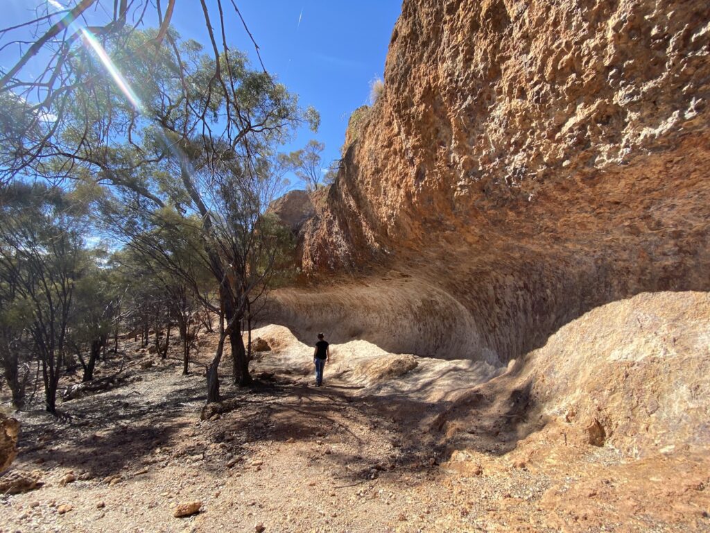
From Old Idalia, follow a track up into the hills to Wave Rock. This natural “wave” in a cliff face was created by wind and is an impressive sight.
It’s worth the 1.2km return walk, if only to get an appreciation for just how rugged this country is. And you’ll get views of the surrounding country once you get up to Wave Rock.
Junction Hole
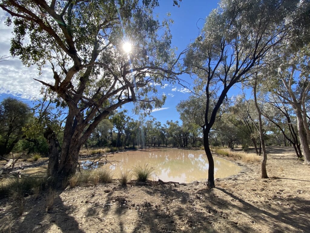
After the Wave Rock turnoff, you’ll see Junction Hole. This is a good place to stop for lunch and watch the birds coming to drink.
Less welcome are the numerous cattle tracks and the churned-up edges of the waterholes. It’s a good example of how much damage hard-hoofed animals like cattle do to fragile landscapes like these. I suppose the obvious question to ask is, why are cattle in a national park? I wouldn’t have thought it would be too difficult to get rid of them. Oh well…
Rainbow Gorge
Next stop is the Monks Tank campground. A bit further on, you’ll find Rainbow Gorge.
A creek has cut into the sandstone and exposed a myriad of whites, reds and yellows. This was totally unexpected and the highlight of our visit.
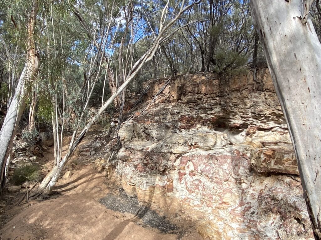
The “gorge” is really just a deep-cut dry creek, so don’t expect a massive gorge to unfold before your eyes! But the colours are fantastic. Spend some time there to appreciate the beauty of this place.
Murphy’s Rockhole
This small gorge is at the end of a drive through thick scrub. The waterhole was dry when we visited. However, the old river red gums along the creek were impressive. It’s a cool, protected spot to spend some time soaking in the surroundings.
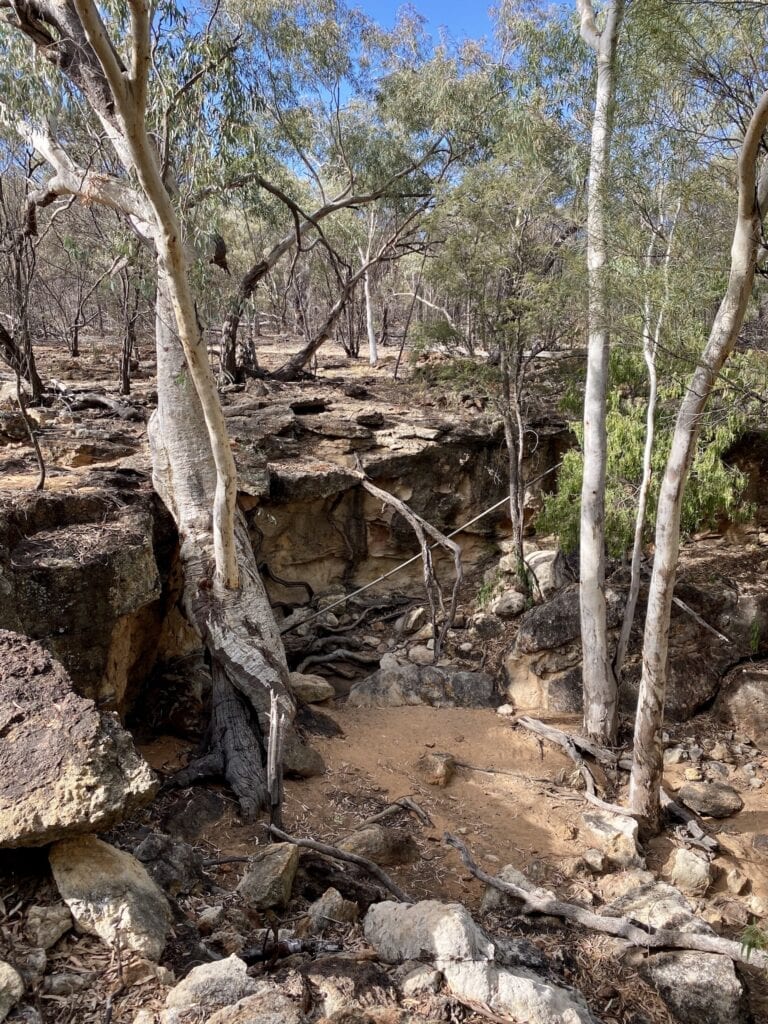
Apparently, koalas live around here. However, we didn’t have any luck koala-spotting.
Bullock Gorge
This loop walk leads you through timbered country, out to the point of an escarpment. The track follows near the edge of the cliffs and has great views out over the plains.
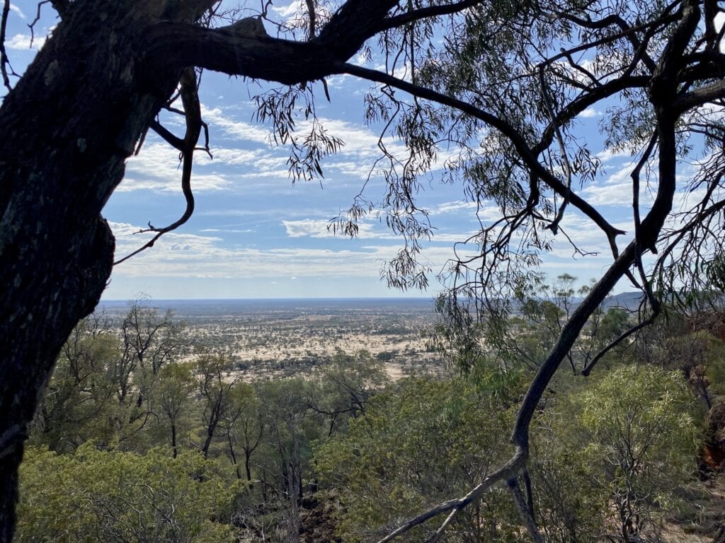
The walk is 2.7km along flat ground. It’s an easy walk and well worth the effort.
Emmet Pocket
Emmet Pocket has a lookout over the plains to the north. It gives you some perspective on how extensive this National Park is, the impressive sandstone escarpments and the extent of the surrounding plains country.
Find a rock, perch yourself on there for a while and enjoy the view.
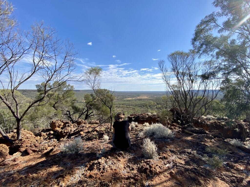
A 4.4km walk starts at Emmet Pocket. National Parks describe it as difficult and as “a steep track leads into the gorge where plains lie before you like a map”.
In reality, it would better be described as, “An easy walk through scrub, situated just far enough from the edge of the escarpment so that you can’t see anything at all. It ends at a dry creek”.
Definitely not on our list of favourite walks!
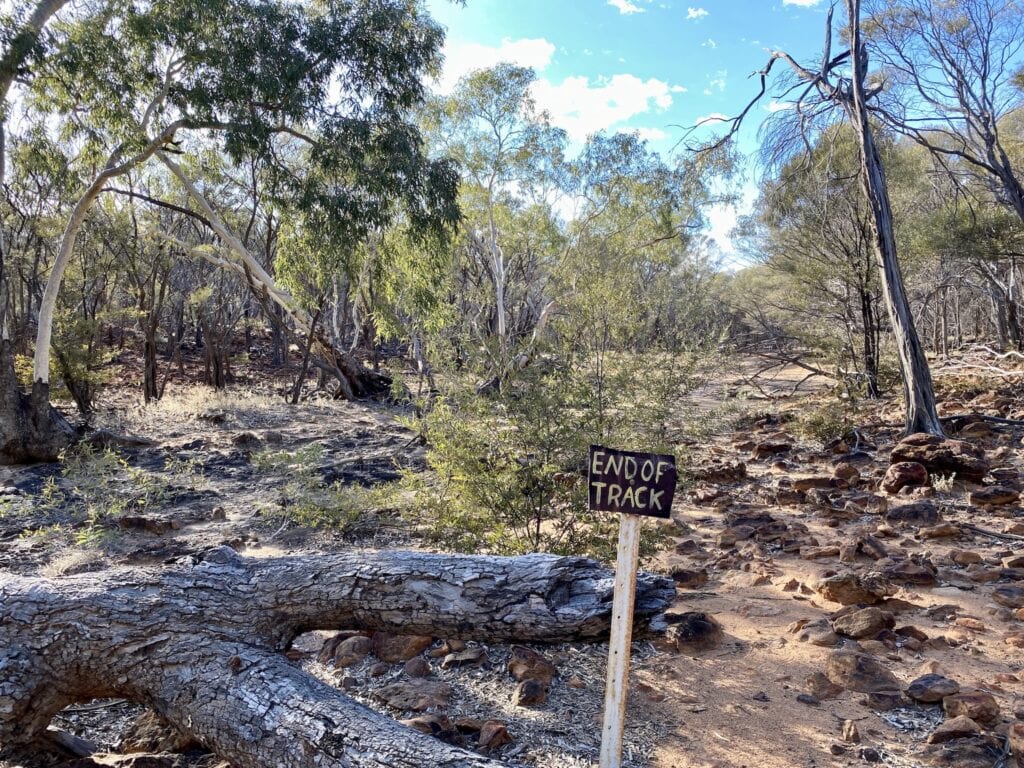
We think National Parks might have intended this walk to drop down over the escarpment, but never got around to making the track. Either that, or someone in National Parks has a sense of humour.
Unless you’re really determined to do and see everything in Idalia National Park, give this walk a miss.
Final Thoughts
Idalia National Park is worth dropping into for a day or two if you’re in the region. It’s quite a shock to see how different this sandstone country is, compared to the surrounding black soil plains.
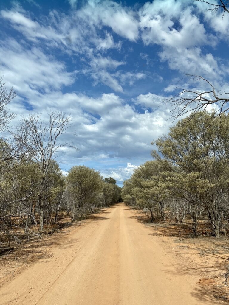
If you love arid zone country like we do, then you’ll enjoy the landscape, the plants and the animals.
Perhaps the main thing we took away from Idalia was the futility of trying to graze stock here… and the resulting damage to the local environment. Why they persevered is a question I’d love to know the answer to.
And it’s a great example of how arid zones aren’t what they seem. Far from harsh and unforgiving, they’re actually extremely fragile.
Once damaged, they take a long time to recover… if ever.
Idalia National Park is on Kuungkari Country.
Looking for more great articles on QLD National Parks? Then go here.
Get your Traveller’s Guides
… and a whole lot more at our FREE RESOURCES Page!
Any questions or comments? Go to the Comments below or join us on Pinterest, Facebook or YouTube.
Any errors or omissions are mine alone.

