
Note: This article may contain affiliate links. If you click through and make a purchase, we earn a small commission at no extra cost to you.
Have you ever wanted to drive along the dingo fence?
You know, that 5,600km+ fence which runs along the QLD/NSW border, chucks a left at Cameron Corner then runs south down the SA/NSW border.
The thing is, you actually aren’t allowed to. There are big fines for driving along the dingo fence service track… and yes, they do have cameras in certain places.
But there is one place you’re allowed to drive alongside the fence. It’s on the back road between Silverton and Hawker Gate.
If you’ve driven between Broken Hill and Tibooburra on the Silver City Highway and wondered what’s behind the Barrier Ranges… well, you’re about to find out!
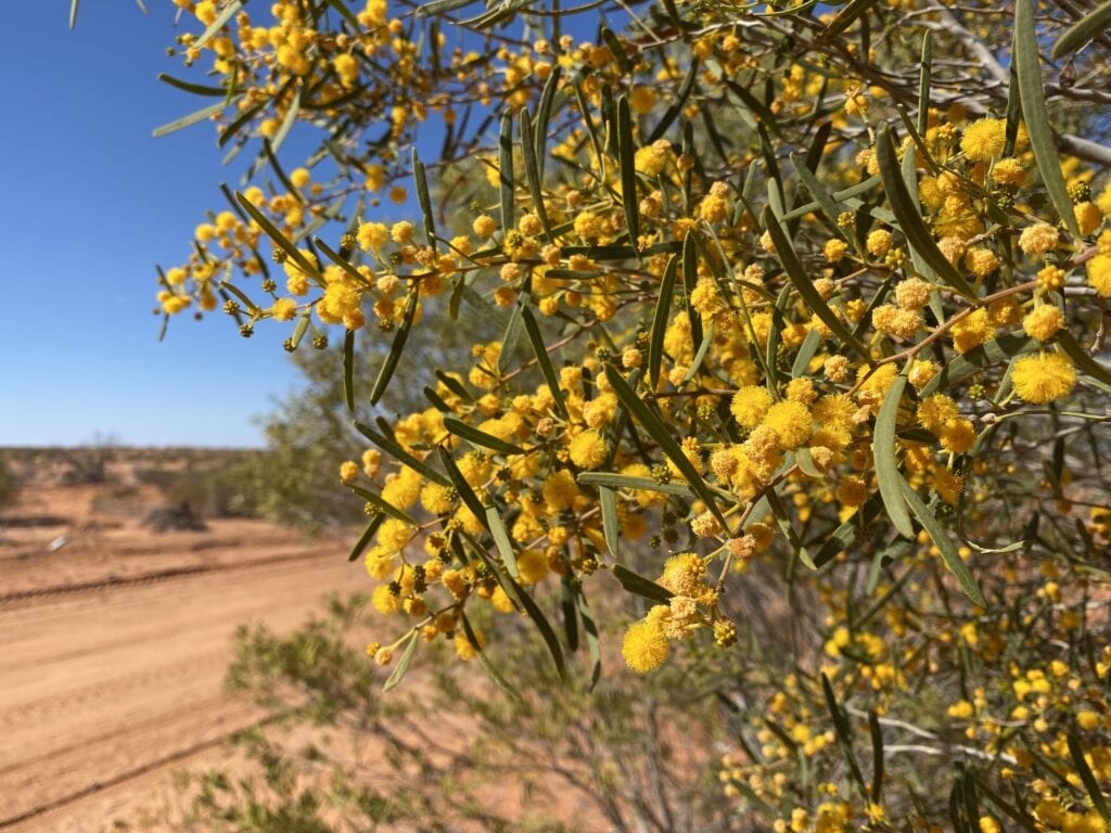
And what a sensational drive – classic NSW Corner Country scenery, remoteness and isolation. In fact, we only saw one other group of travellers along the way. Love it!
Just make sure you take a passenger to open and close the endless gates. They make for a slow trip, but then again what’s the hurry?
So let’s start at Silverton and make our way north.
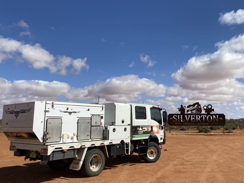
Silverton, a Quirky Little Town
Silverton is about 25km directly west of Broken Hill, on a narrow tar road. This old mining village is famous for being the movie set for the second Mad Max film.
Silverton Hotel has also been used in numerous ads and movies, including Wake In Fright, A Town Like Alice, Priscilla, Queen Of The Desert and Mission Impossible II. Step inside the pub and you’ll find a whole lot of great photos from the various ad and movie sets.
The first thing you’ll notice about the town is the ornate sandstone buildings, a remnant of the prosperous mining days in the 1880’s.
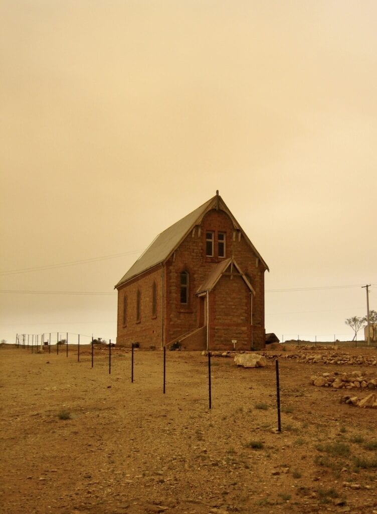
Some of these places have been restored to their former glory. Over time, they’ve been turned into art galleries and museums… each with their own charm and some quirky characters.
And if you’re feeling fit, there’s a bike and walking trail along the old railway line.
Just one thing. If you camp at Silverton, it’s not okay to camp along the creek or to pull up in the town and set up. The only place to camp is Penrose Park. Everywhere else is private property.
If you’re after more information on Silverton, go here.
Heading Out of Town
Driving west out of Silverton on Willangee Road, you’ll swing around to the north then pass through the hills and ranges of the Barrier Range.
Just before you drop off the ranges onto the vast Mundi Mundi Plain, stop at Mundi Mundi Lookout. It’s well worth a stop, if only to take in the vastness of the landscape.
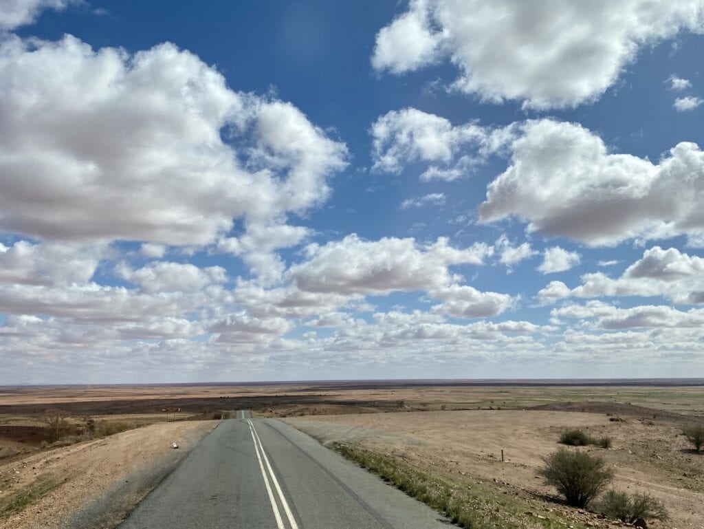
About 11km from Silverton, the tar stops and you’re on the dirt!
In fact, the tar stops at Broken Hill Dam. This is one of Broken Hill’s water supplies, although the main supply now comes all the way from Wentworth on the Victorian border via a pipeline. Don’t get me started on this pipeline…
Moving on.
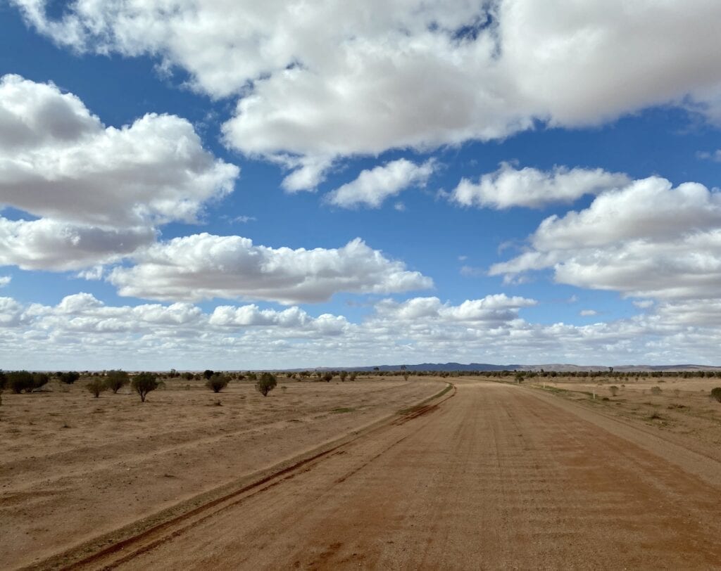
As you head north, you’ll pass Eldee Station, a popular station stay. All the time, the Barrier Ranges are off to your right. In front and to the left is the vast Mundi Mundi Plain, stretching into the distance as far as the eye can see.
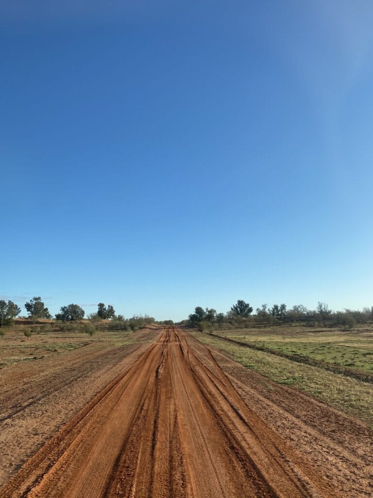
The road is a typical dirt road. It’s condition is highly dependent on when the grader has last been through and varies from highway-like to rough and corrugated.
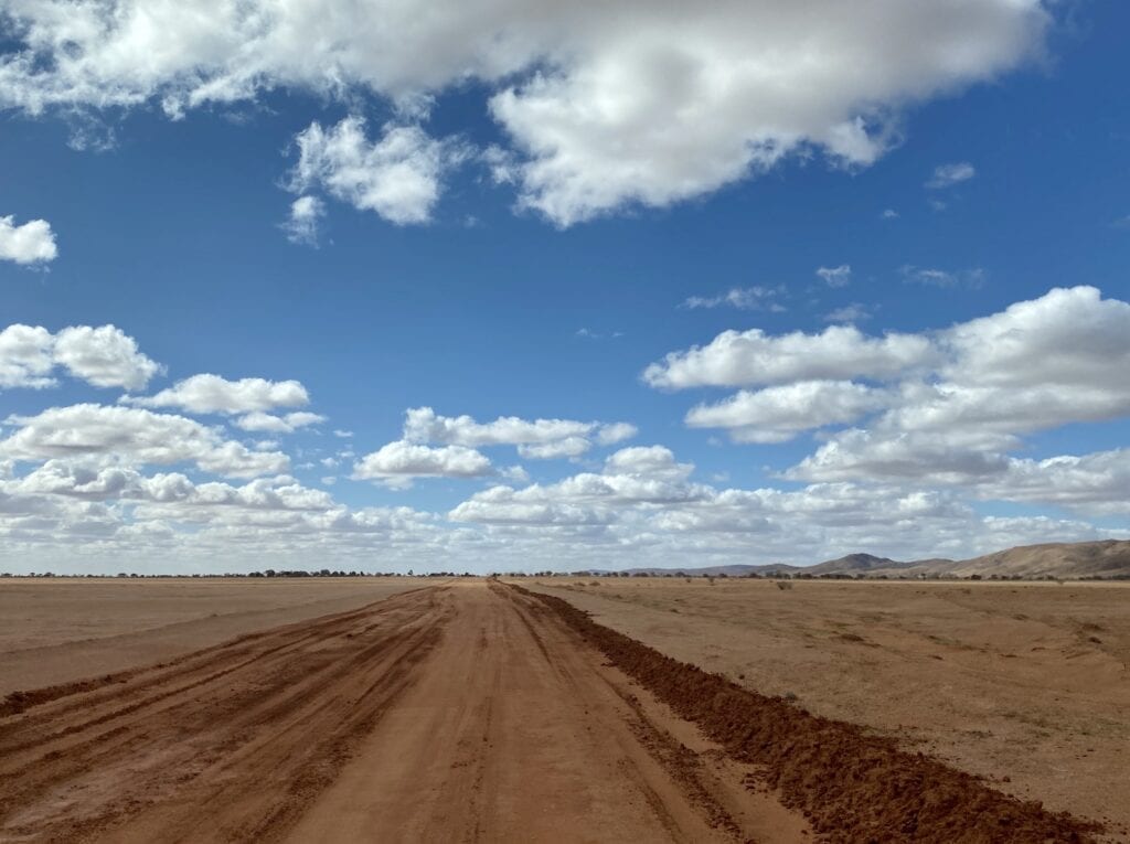
We actually struck quite a few wet sections and large puddles. The road had only been re-opened for about a week, after recent rains. We took care to avoid numerous washouts across the road, especially where the road veers closer to the western slopes of the Barrier Ranges. Otherwise, the roads were generally in good condition.
Take care and you’ll be okay.
Further north, you’ll pass Willangee, Kantappa and Mount Wollwoolahra Stations. These are on the plains country, with various dry creeks crossing the road from the ranges.
These creeks start in the Barrier Ranges and can flood without warning. Big gums line the creeks, a welcome break from the surrounding plains.
You’ll start to see the dune country north of McDougalls Well.
A little further on, the road heads west towards the Dingo Fence and the South Australian border.
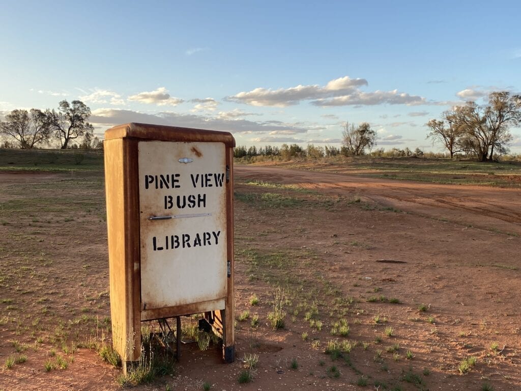
Near Avenel Station, the road again swings north towards Pine View Station. This is a good halfway point to camp or stay in their accommodation. You’re well and truly in sand dune country now, and the outback scenery is brilliant.
The road is well formed, so it’s not like you’re taking on soft sand dunes.
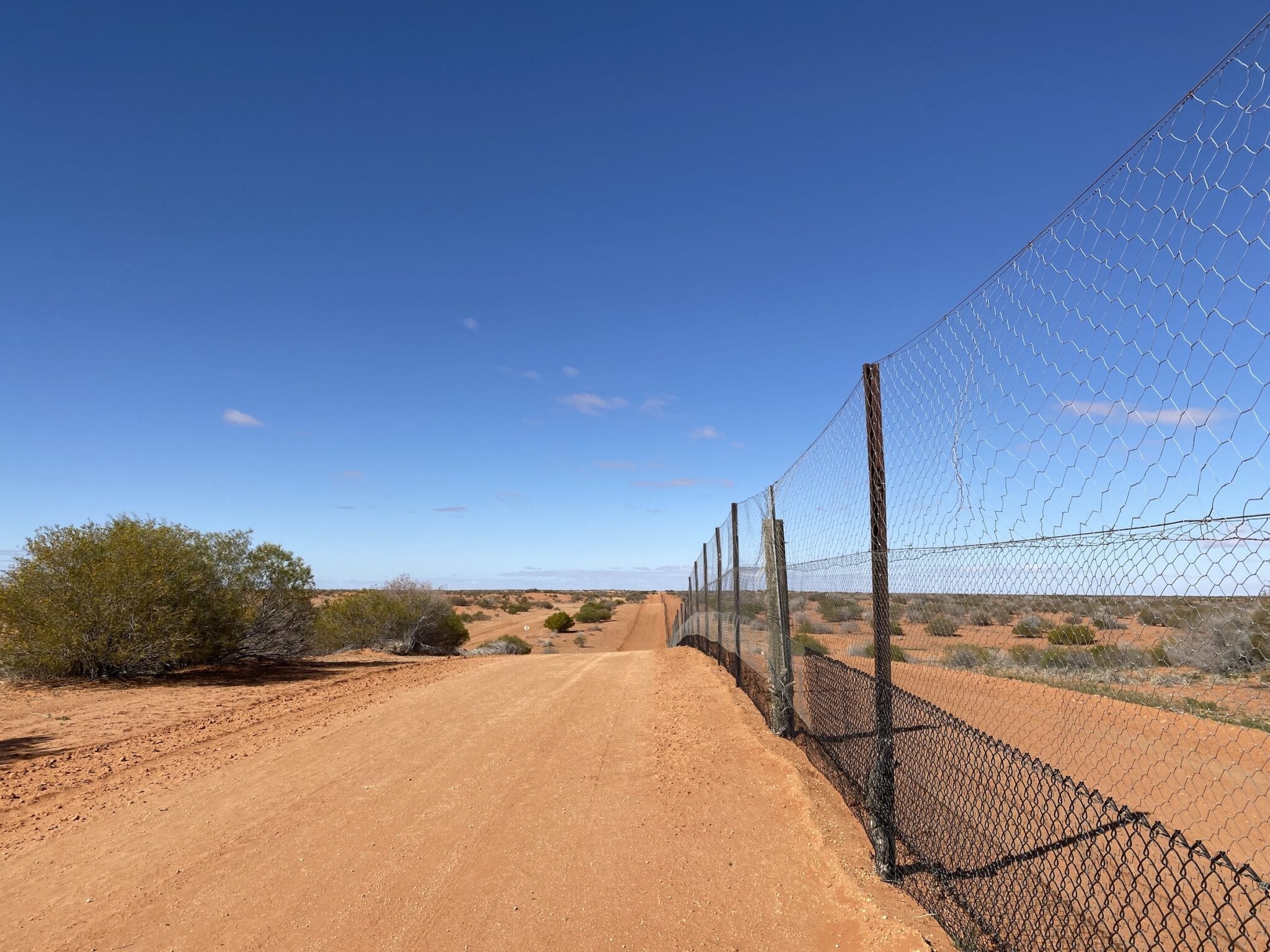
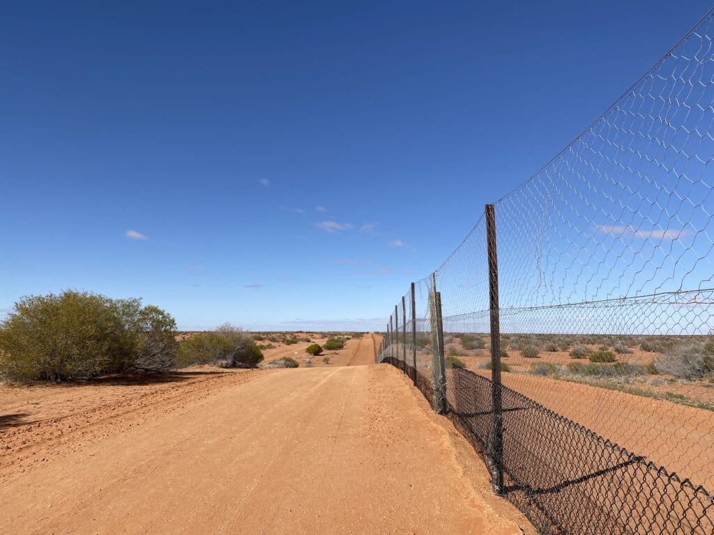
Driving Beside the Dingo Fence
Continuing north, you’ll pass Border Downs and Moorabie Stations. A bit further past Moorabie, the dunes stop suddenly and you’re driving across the enormous Kuthajerri Plain.
This huge dry lake would be full of water and teeming with life after big rain events. It would be a special sight to see.
Slowly but surely the road meanders to the north-west, before swinging left and heading directly west to the Dingo Fence… and back into the dunes.
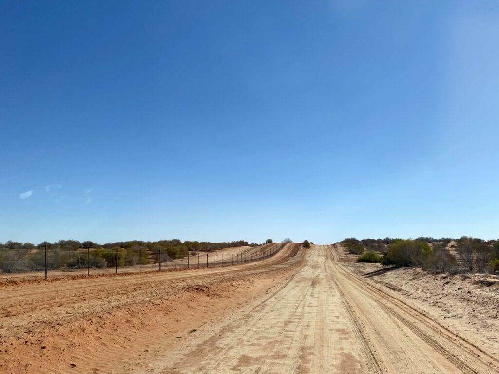
A word of warning. The public road runs beside the fence and there’s another road right on the fence. It’s a maintenance road. Don’t be tempted to drive on the maintenance road.
Why? Because most days a person patrols the fence, checking for damage. They don’t expect any on-coming traffic because the maintenance road is strictly off-limits to the public. So if you do decide to drive along the maintenance track, there’s a good chance you’ll come face-to-face with a Landcruiser travelling at speed on the crest of a sand dune.
Just a little way up the track, you’ll see a house off to the right. This is Smithville Outpost, one of the places where the person who patrols this section of the dingo fence lives. Another is at Hawker Gate, further north.
A Lonely Life
Spare a thought for the people who look after this fence.
They live in houses along the fence and spend nearly every day driving up and down the same section. It would take a certain type of person to live out here alone, especially during the height of summer.
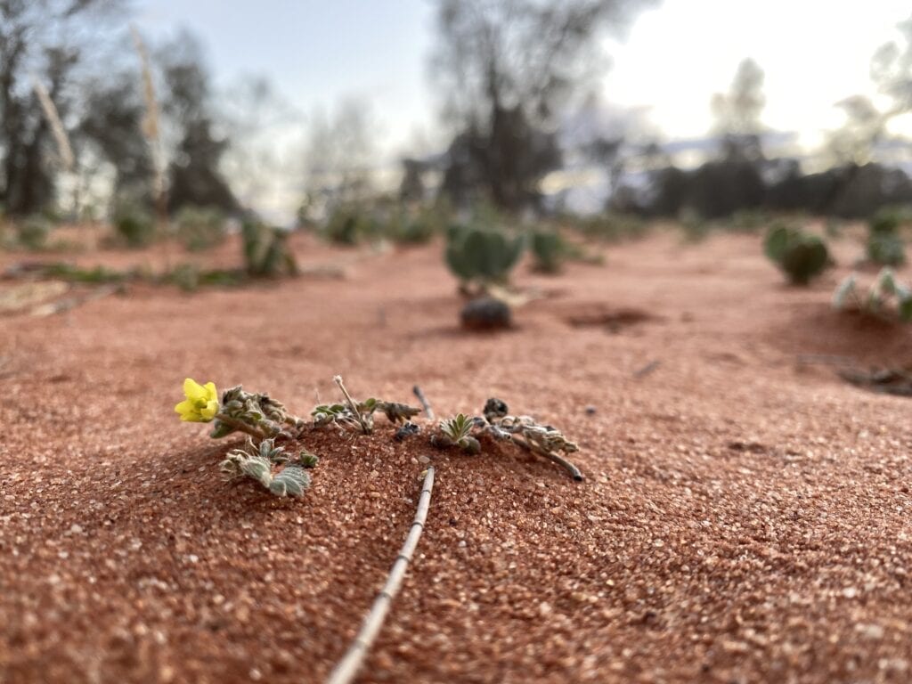
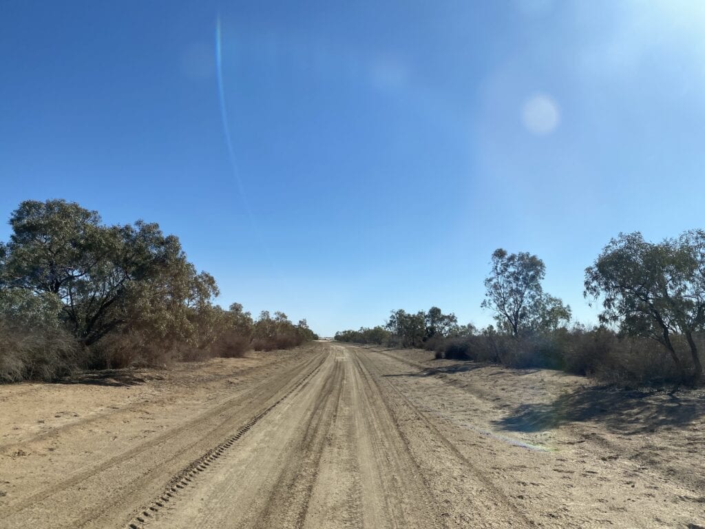
As you drive along the Dingo Fence, you’ll drive across several sections of white-grey sand. After big rains, these fill with water and form ephemeral lakes. You’ll even see some decent-sized gums, an obvious sign of the wetter terrain.
All too soon, you’ll arrive at Hawker Gate Road. You can’t actually go to Hawker Gate or drive through it to South Australia. So your only option is to turn right towards Milparinka.
Hawker Gate Road to Milparinka
As you drive east, the dunes start to thin out. You’ll pass Winnathee Station and follow the floodplain beside Mundilpa Creek, interspersed with sections of gibber country.
Eventually, the road crosses Mundilpa Creek and you’ll see Waka Road turnoff on the left. You can take this up to Fort Grey Campground in Sturt National Park or to visit Cameron Corner.
We continued onto Milparinka.
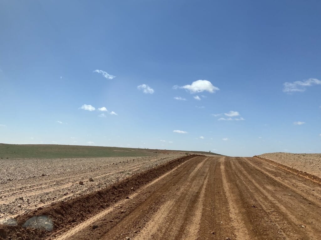
Hawker Gate Road starts to climb over a series of low ranges, covered in every direction by endless gibbers. If you’re lucky, the grader will have been through. If not, it’s a slow, rough trip!
Would you like to get a better feel for this amazing landscape, especially the incredible sunsets? Then stay at Theldarpa Station. The Sandow family are fantastic people and love showing off their extraordinary part of the world. Contact them here.
The End of Your Adventure
Coming into Milparinka from the west is an experience. On a sunny day, the extensive “forests” of white quartz stones almost look like snowfields. It’s harsh and unforgiving country, as Charles Sturt discovered in 1844 during his epic expedition to explore the inland.
Once you arrive at Milparinka, shout yourself a beer at the Albert Hotel… you’ve earned it!
Spend a few nights at Milparinka. The Heritage Precinct is full of local history and gives you an insight into the hardships faced by the early settlers.
Milparinka is also an ideal base for exploring Depot Glen (where Sturt’s party were stranded for 6 months) and the Corner Country further north towards Tibooburra, Cameron Corner and Sturt National Park.
So let’s have a look at where you can camp along the way.
Camping and Accommodation
Between Silverton and Milparinka on the Dingo Fence route, you’re on private property. You could do the trip in a (long) day, but who wants to rush a great drive like this one!
And because you’re driving through working stations, the owners don’t like you camping beside the road.
Here’s a list of places where you can stay. We’ll start in the south and make our way north:
- Stay at Silverton. There are several places to stay or you can camp at Penrose Park.
- Eldee Station is 36km north of Silverton. They have a campground and cabins. If possible, ring ahead to book.
- Pine View Station is about 180km north of Broken Hill. Bush camp, stay in the shearer’s quarters or in a self-contained 3 bedroom homestead. If possible, ring ahead to book.
- Theldarpa Station is about 60km west of Milparinka. They have camping facilities and accommodation in the shearer’s quarters. If possible, ring ahead to book.
- Stay at Milparinka, either at the Albert Hotel or in the nearby Heritage Precinct Campground.
Road Conditions
All the roads we took are well-formed public roads. Having said this, they are gravel and can vary from smooth to horrendously corrugated.
For example, we’ve driven along Hawker Gate Road several times now. Most times it has been rough, rocky and badly corrugated. This time however, it was generally in good condition.
The Dingo Fence route is quite remote, so you should be properly prepared before attempting this drive. Perhaps the biggest danger along this route is the maze of roads in some places. It would be easy to get lost, so make sure you take a map!
If you’re searching for camping gear and accessories, Wild Earth has a wide range available. Go here to find out more.
Summing Up
There aren’t many places where you can legally drive along the Dingo Fence. And this drive is an excellent alternative to the Silver City Highway.
The outback scenery and isolation alone make this one of the best drives in Corner Country New South Wales. From sand dunes to vast gibber plains, there’s something along here for anyone who loves the outback.
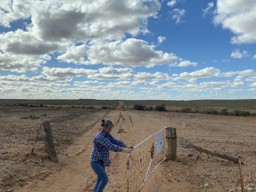
Just be prepared to open and close a whole lot of gates!
This drive passes through Wiljali and Malyangaba country.

Get your Traveller’s Guides
… and a whole lot more at our FREE RESOURCES Page!
Any questions or comments? Go to the Comments below or join us on Pinterest, Facebook or YouTube.
Any errors or omissions are mine alone.
Looking for more New South Wales Destinations? Then go here.
After being locked out of the Simpson and then our “Plan B” to head up to Gulf Country was canned because the Queenslanders shut their borders 7 days before we were due to leave we set off on Expedition Borders closed in AUG20. It rained the day we left Temora. By the time we made Silverton the dirt roads were closed and couldn’t get out to the Dog fence. Maybe next year!
Hi Michael,
Your story pretty much sums up the difficulties of travelling in 2020!
Cheers, Andrew
Another great story Andrew. Our border bubble burst on 23 November. Reckon I might treat meself to another trip up there early in the new year. Loved the videos. I dunno about the gates but?
Look after yourselves.
Dave Vevers
Thanks David. I think you’ve earned yourself another trip up the dog fence!
Cheers, Andrew
It’s a great drive through there, the Ranges and the Strzelecki Desert, we have travelled it many times over the past 30 years. August 2020 we looped from Milparinka to Packsaddle, via Sturt’s Cairn / Depot Glen / Pooles Grave out to the Dog Fence then back in via Sanpah. Roads were good, grader working the top section, we had to wait around two weeks for the roads to open after the rains, we just went and did other things to kill time.
Hi David. Yes, the Corner Country is a special part of this land. Sounds like you struck it lucky with the roads being graded. Cheers, Andrew
Andrew
May I ask, when you did you do the trip?
Mike
Hi Mike,
We were there in August.
Cheers, Andrew